
Reykjanes Peninsula: Volcanic Landscapes, Bird Cliffs and Geothermal Wonders
Where tectonic forces, geothermal energy, and Iceland's wildest coastlines converge in a single unforgettable day.
The Reykjanes Peninsula day tour takes you through one of Iceland's most geologically active regions, revealing a raw and ever-changing landscape shaped by volcanic eruptions, tectonic drift, and hydrothermal forces. From crater lakes to bird-covered cliffs, this is Iceland beyond the tourist trail.
Over 12 hours, you will travel across lava fields, stand at the meeting point of two continental plates, and watch boiling mud pools bubble at the surface of the earth. The peninsula is a living laboratory of geological phenomena, accessible and dramatic in equal measure.
Wildlife is a consistent presence here: puffins, guillemots, razorbills, and fulmars nest along the high basalt cliffs, and with good fortune, cetaceans can be spotted offshore. Every stop on this itinerary adds a distinct layer to your understanding of Iceland's volcanic identity.
Tour Highlights
Kleifavatn, Iceland's largest and deepest lake in this region, sits on an active volcanic fissure and has visibly receded since the earthquakes of 2000.
Seltún geothermal field features mudpots, fumaroles, and vivid sulfuric mineral deposits, all safely accessible along wooden walkways.
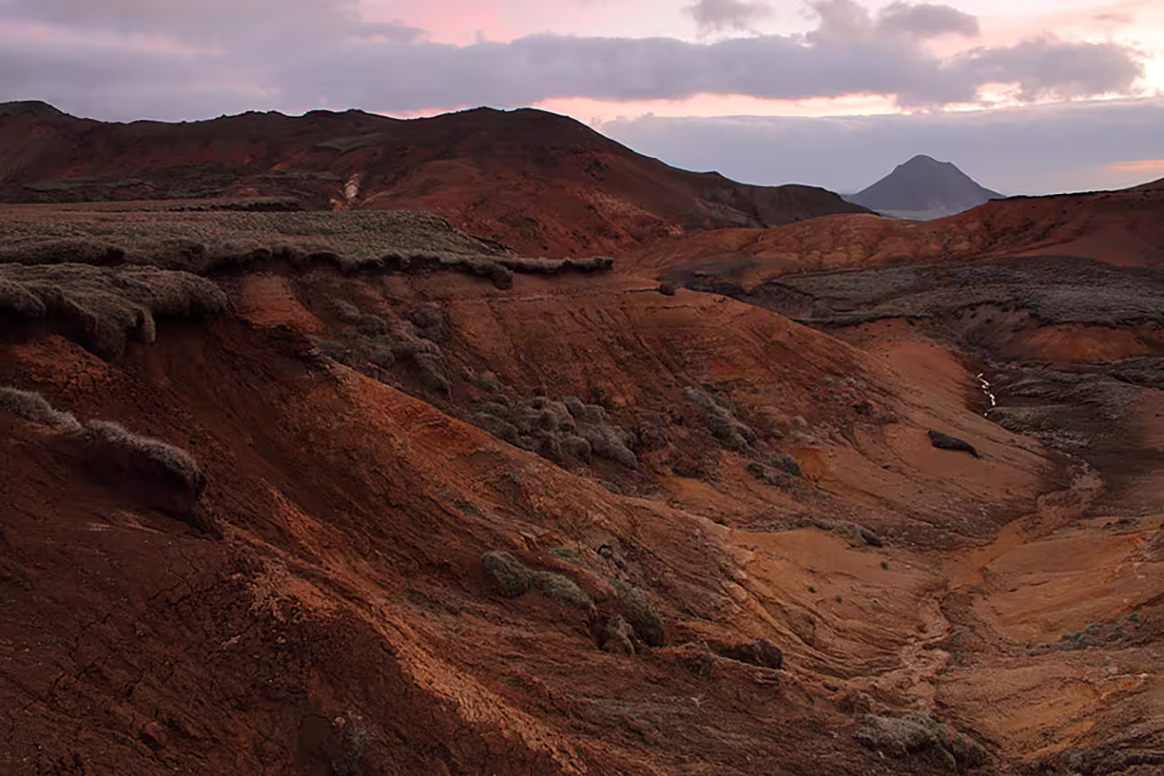
Stóra and Litla Eldborg are two perfectly-formed scoria craters estimated to be 7,000 to 8,000 years old, part of an ancient lava ring.
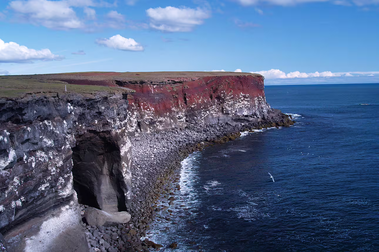
Krísuvíkurberg cliffs rise up to 70 meters above the Atlantic and shelter nearly 60,000 pairs of seabirds during the nesting season.
The Leifur Eiríksson Bridge spans the rift between the Eurasian and North American tectonic plates — 18 meters of walkway over continental history.
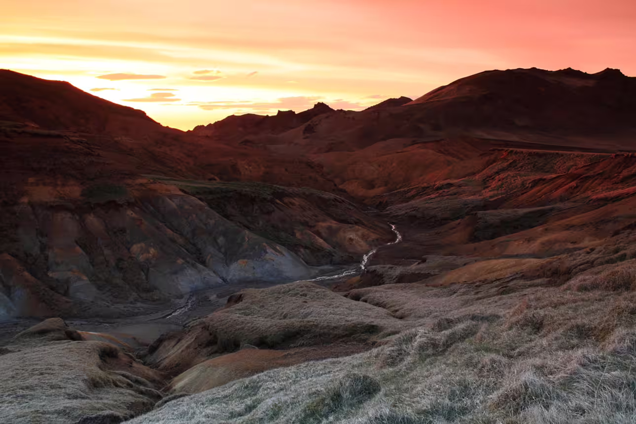
Sog gorge bursts with color — ochre, turquoise, and rust tones produced by thermal alteration, sulfur deposits, and algae-rich waters.
Grænavatn maar lake glows emerald green, 46 meters deep and 350 meters wide, its hue the result of thermal algae and sunlight-absorbing crystals.
Itinerary
Begin at Iceland's deepest lake in this zone, Kleifavatn, where shorelines have receded by over a kilometer following earthquake-triggered fissures. Continue to the Seltún geothermal field, where multicolored sulfuric deposits and steaming mudpots border a network of wooden boardwalks.
Visit the striking emerald maar lake Grænavatn before exploring the twin scoria craters, Stóra and Litla Eldborg. These ancient volcanic formations are part of a lava ring and offer a moonscape atmosphere unique in Iceland's southwest.
Walk along Iceland's highest southwest cliffs, home to tens of thousands of nesting seabirds including puffins from March to August. Then visit Gunnuhver, the peninsula's largest geothermal area, where ocher-toned craters conceal turquoise-milky summit lakes.
Explore the tuff, pillow lava, and breccia layers of Valahnúkar, a mountain formed during a single eruption with the ocean as backdrop. Cross the Leifur Eiríksson Bridge, the symbolic footbridge over the rift zone where the Eurasian and North American plates diverge.
End the day at the Sog gorge, carved by Iceland's largest freshwater river by volume flowing at an average of 110 cubic meters per second. The gorge walls display a vivid palette of thermal colors — sulfur yellows, rust reds, and mineral blues — shaped by ancient subglacial volcanic activity.
What Is Included
Included
- Professional guide throughout the day
- Transportation by minibus or vehicle
- Access to all listed sites
- Walk on the Bridge Between Continents
- Bird-watching stop at Krísuvíkurberg
Not Included
- Meals and beverages
- Personal travel insurance
- Gratuities for guide
- Souvenirs or personal purchases
Important Information
Reserve Your Spot on the Reykjanes Peninsula Tour
Availability is limited on this full-day small-group experience. Secure your place today and explore Iceland's most geologically dramatic corner.
Book Now