




Krossarjokull Mapping Journey with Katla Geopark
Explore a hidden glacier outlet and contribute to real environmental research in Iceland's untouched wilderness
The Krossárjökull Glacier Mapping Expedition is one of the few tours in Iceland where visitors actively contribute to scientific research while exploring a largely unmonitored glacial landscape. Partnered with Katla Geopark's Citizen Scientist program, this journey combines genuine fieldwork with remarkable natural scenery.
For decades, Krossárjökull remained outside the reach of routine monitoring. This expedition changes that, offering participants a direct role in documenting the glacier's terrain, health, and history alongside an expert guide.
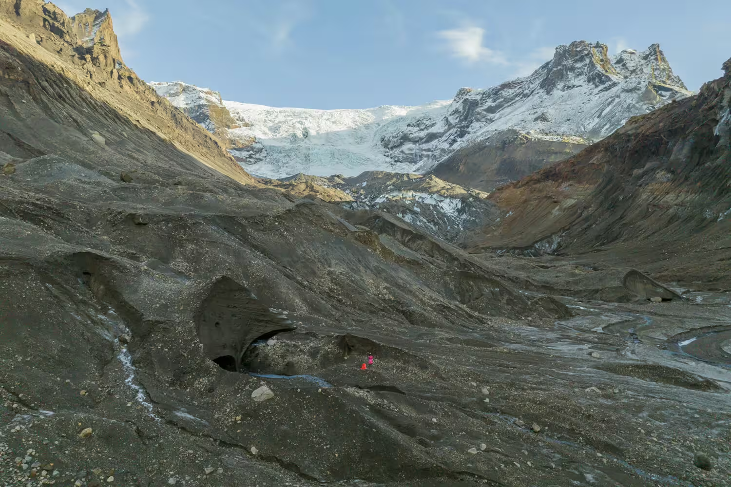
The route passes through Thorsmork's highland terrain via 4x4, continues through a secluded canyon on foot, and arrives at one of Iceland's least-visited glacial areas. The experience is designed for those who seek purpose alongside adventure.
Expedition Highlights
4x4 drive through Thorsmork's dramatic highland landscape, including glacier-fed river crossings and sweeping canyon views.
Guided canyon hike to Krossárjökull Glacier, a moderate 1 to 1.5 hour trail each way that takes you well beyond standard tourist routes.
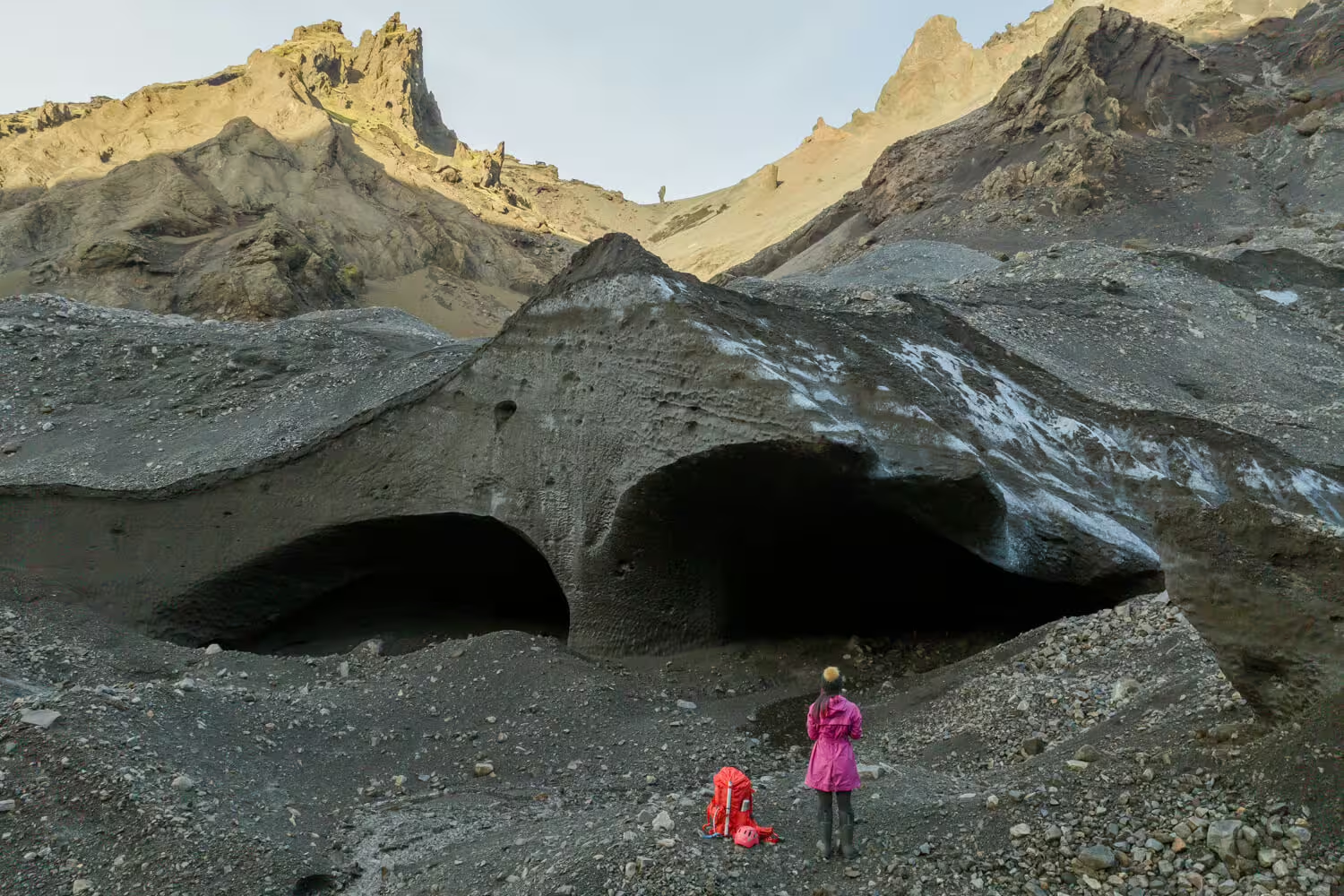
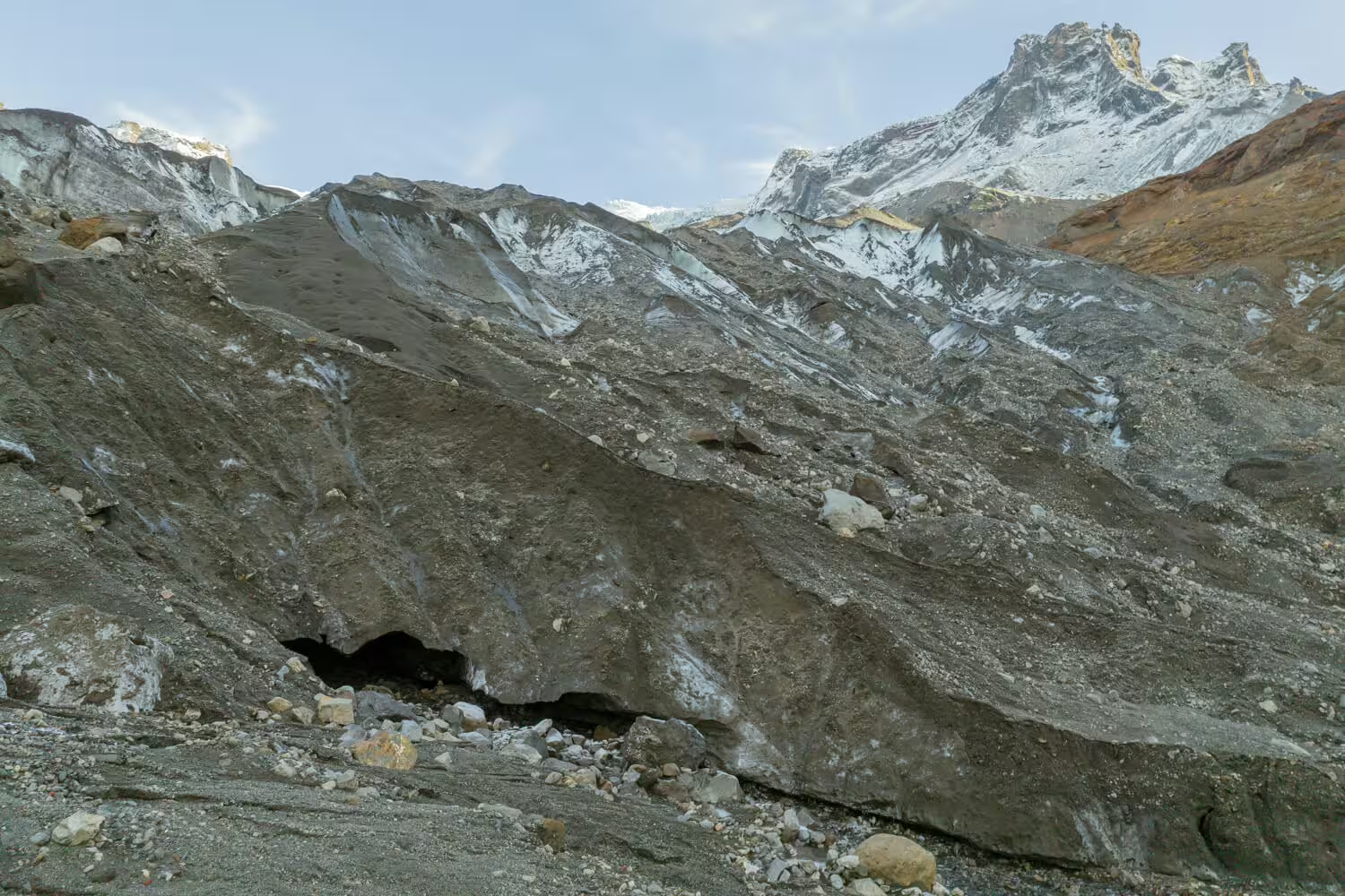
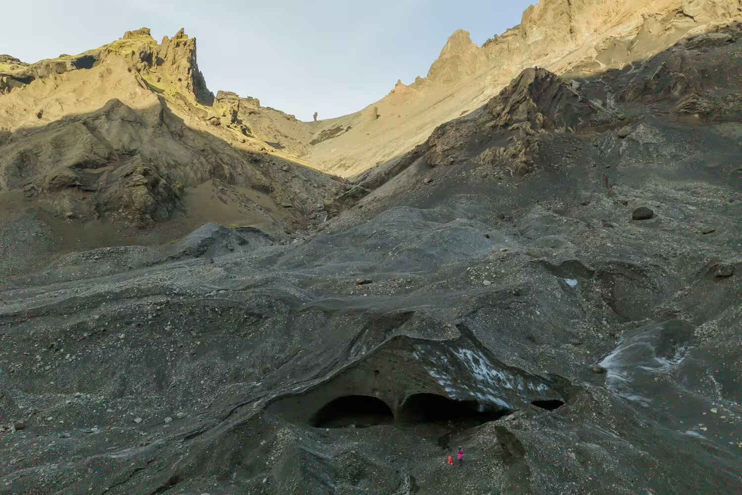
Up-close exploration of Krossárjökull's dead ice formations and glacial features in an area rarely visited by travelers.
Hands-on glacier mapping activities as part of Katla Geopark's ongoing Citizen Scientist monitoring program.
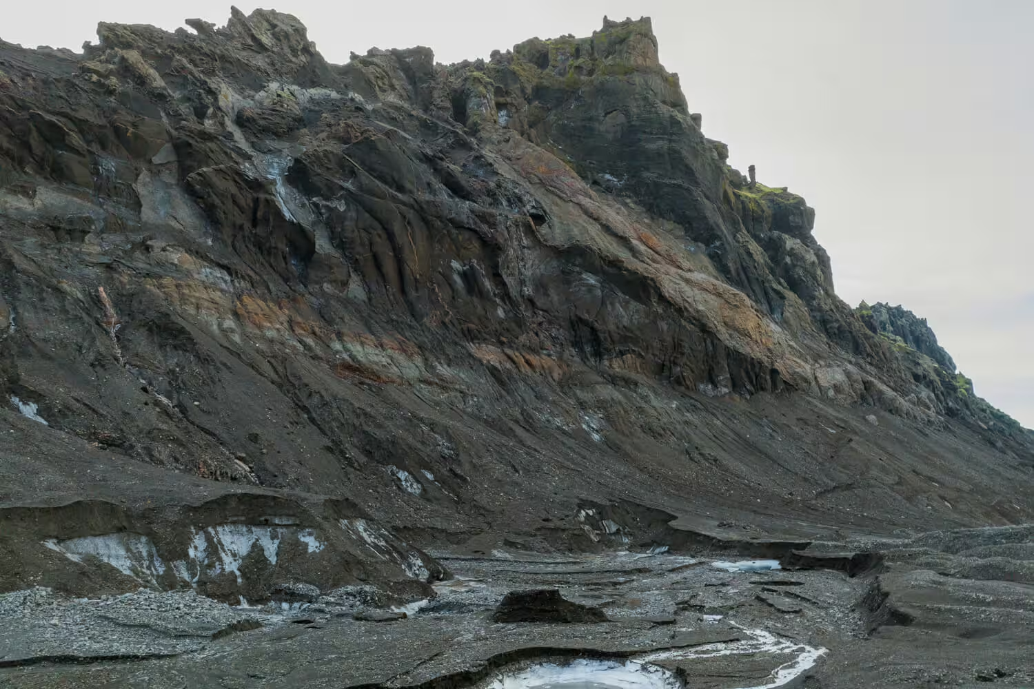
Geological briefings on the glacier's formation, its role within Katla Geopark, and the broader forces shaping Iceland's landscape.
Full safety briefing and equipment orientation before venturing onto the glacier surface.
Packed lunch break with panoramic views of the surrounding glacial and highland scenery.
Expedition Itinerary
The journey begins with a 4x4 vehicle ride through Thorsmork, a celebrated highland destination known for its layered volcanic landscapes. The route includes glacier-fed river crossings and views across rugged terrain that set the tone for the expedition ahead.
A guided trek leads through a secluded, offbeat canyon toward Krossárjökull Glacier. The hike takes approximately 1 to 1.5 hours each way and follows trails well removed from popular tourist paths.
Before stepping onto the glacier, participants receive a thorough safety briefing and equipment orientation from the guide. This ensures all members are properly prepared for the glacial terrain ahead.
The core of the expedition involves exploring Krossárjökull's surface features, including dead ice formations and glacial structures. Participants work alongside the guide to map the glacier's terrain as part of Katla Geopark's ongoing monitoring research.
A packed lunch break is taken on location, surrounded by the glacier and highland scenery. The setting provides an opportunity to absorb the landscape and discuss the day's findings with the guide.
The guide provides a closing geological overview, connecting Krossárjökull's history to Katla Geopark's wider significance. The group then retraces the canyon trail and returns via 4x4 to the starting point.
What Is Included
Included
- 4x4 transportation through Thorsmork
- Expert guide with geological and scientific knowledge
- Glacier safety briefing and equipment orientation
- Citizen Science mapping participation with Katla Geopark
- Packed lunch
- Glacier access and canyon hiking
Not Included
- Personal travel insurance
- Personal hiking or glacier footwear
- Gratuities for the guide
- Transport to and from the Thorsmork meeting point
Important Information
Join the Krossárjökull Expedition
This is a rare opportunity to explore one of Iceland's least-visited glaciers while leaving a meaningful scientific contribution behind. Places are limited and the experience is unlike any standard glacier tour available in Iceland.
Book Now