




Last updated:

Ölfus suits a trip built around lava landscapes and the coast, with time for riding if that appeals to you. The municipality covers about 750 square kilometres in western Árnessýsla, so it helps to plan around particular places rather than treat it as a single town.
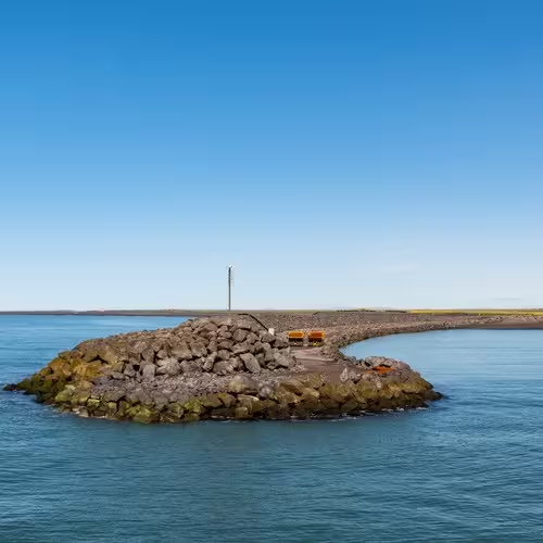
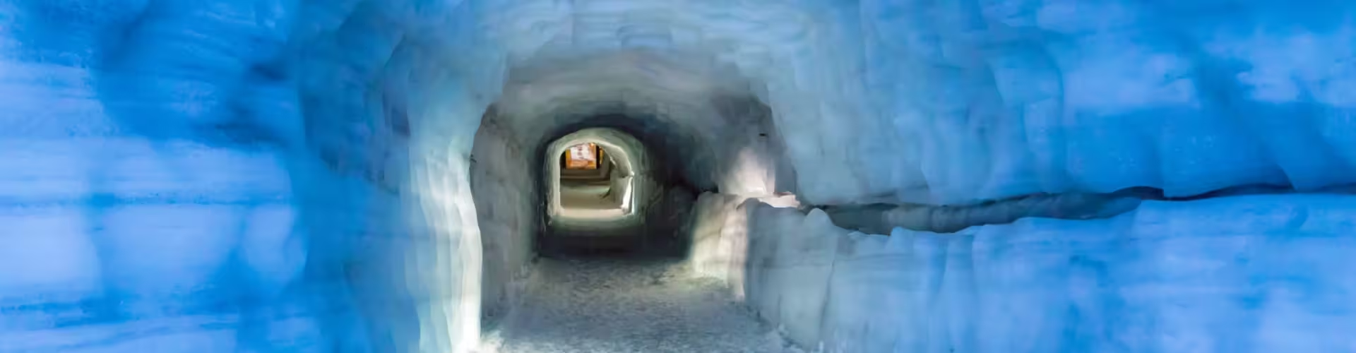
Lava caves and the black sand coast give you contrasting ways to spend your visit. Raufarhólshellir extends for 1,360 metres through rock formed by an eruption about 5,200 years ago. For a coastal stop, Skötubót runs east from Þorlákshöfn to the mouth of the Ölfusá river.
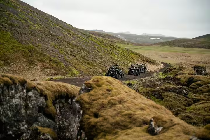
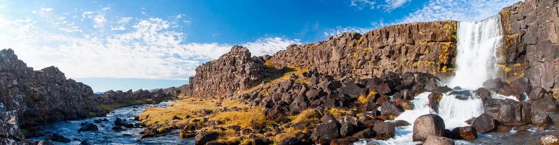
Reykjadalur offers a different volcanic landscape, with hot springs and pools alongside rock dykes, fractures and landslides. It makes sense to focus on the cave if you are interested in lava formations, or on Reykjadalur if geothermal features are your priority.
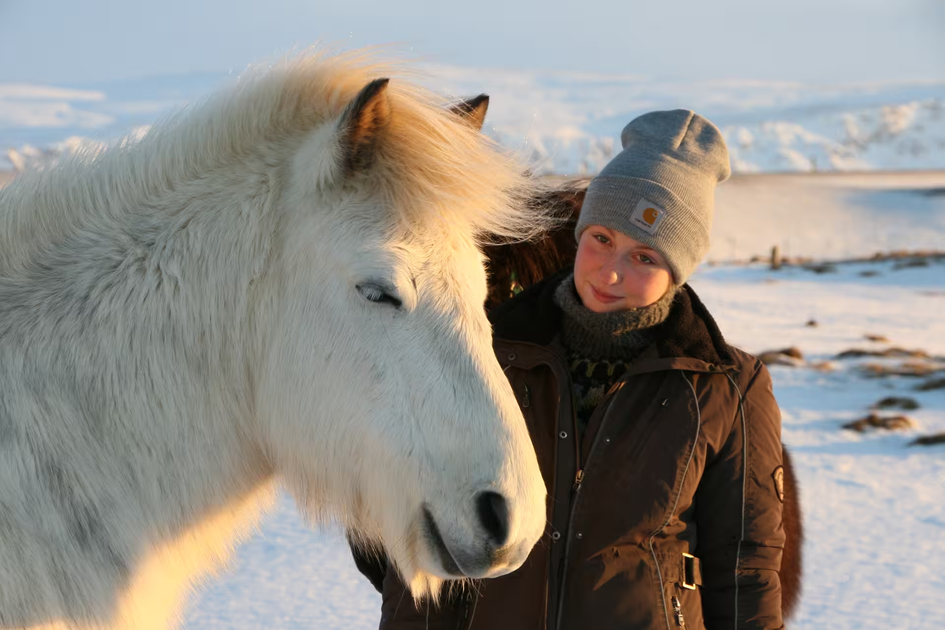
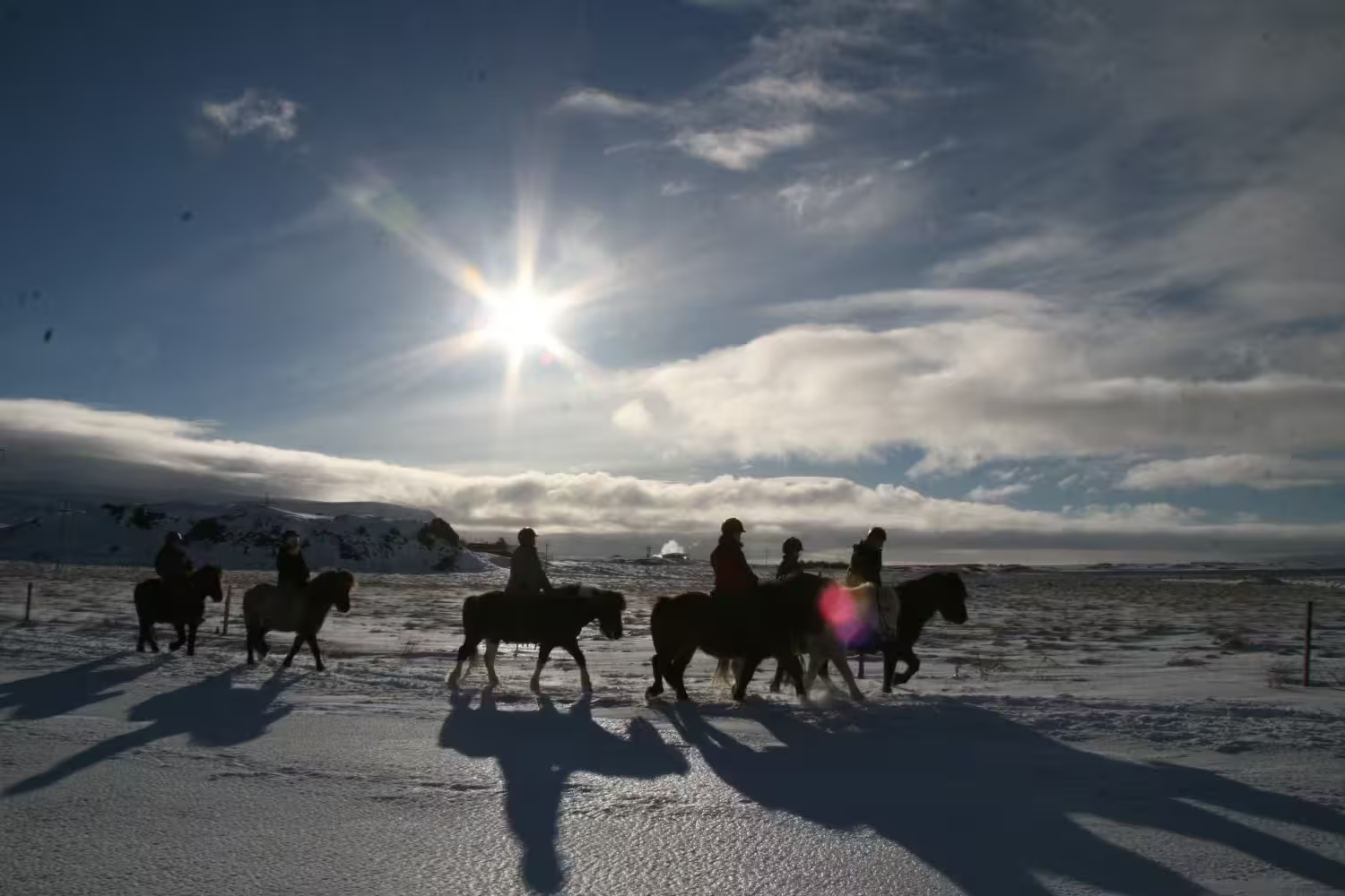
For riding with food included, the horseback ride with lava fields and seafood lasts 5 hours overall, with 1.5 to 2 hours of guided riding. It includes a horse matched to your experience, a helmet, a professional guide and Icelandic seafood soup made with local ingredients.
That seafood element fits the coastal food story of Þorlákshöfn, where small boats once brought in cod, plaice and other fish from nearby fishing grounds.
Two days is a reasonable plan if you want both sightseeing and a long ride: give the first day to Raufarhólshellir and Skötubót, and the second to riding. This keeps the coast and cave separate from an activity that can take up much of a day.
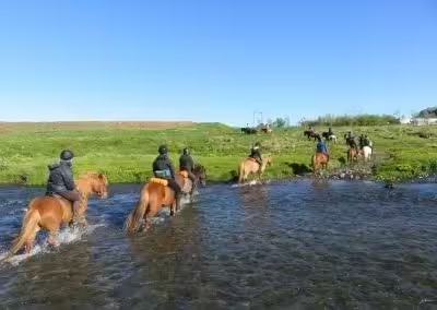
The South Iceland horseback ride with volcano views lasts 9 hours. It includes an Icelandic horse matched to your experience, a helmet and safety equipment, guidance on riding and tölt technique, and a lunch break. Coffee and home-baked cake at the farm, or soup in winter, are also included.
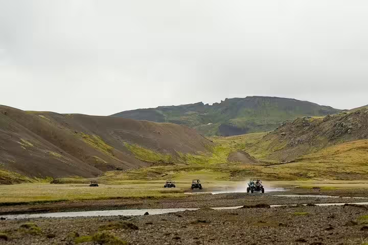
For a shorter activity, the Hengill buggy adventure has a listed total duration of 2 hours and 30 minutes. Buggy rental, a safety briefing, driving instruction, a guide throughout the route and safety equipment are included.
If local history matters more than another activity, the outdoor history exhibition at Selvogsbraut offers a different focus. It opened in 2026 to mark 75 years of urban settlement in Þorlákshöfn.
August suits a trip centred on Hamingjan við hafið, a family and culture festival in Þorlákshöfn that welcomes visitors; in 2024 it ran from 6 to 11 August. At the ForHot forest research site in Reykir, the reported annual averages are 5.3°C and about 1,600 mm of precipitation. These are figures for that site, rather than a monthly forecast for the whole municipality.
Bus travel is an option for reaching Þorlákshöfn through Hveragerði: Strætó route 71 links them and connects with route 51 towards Reykjavík and Selfoss. For arrival by air, route 55 covers the leg between Keflavík Airport and Reykjavík.
About 50 km separates Ölfus from Reykjavík; the municipality is on the southwest coast of Iceland.
Yes. Some scenes for Noah, the film released in 2014, were shot in Raufarhólshellir.
Yes. Lífið í djúpinu at the town hall features colourful fish, unusual shells and animals that glow in darkness.