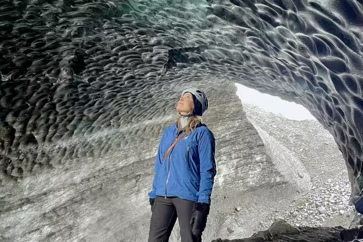
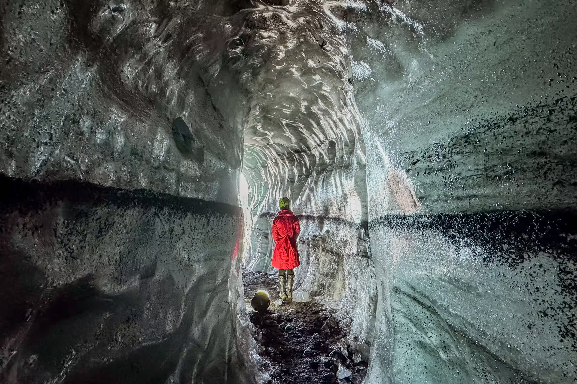
Katla is a subglacial volcano located beneath the Myrdalsjökull glacier in south Iceland, one of the country's most powerful and geologically significant natural features. This ice-capped stratovolcano has shaped the dramatic landscape of the region and remains an active geological wonder that draws scientists and adventurers alike.
What to see in Katla
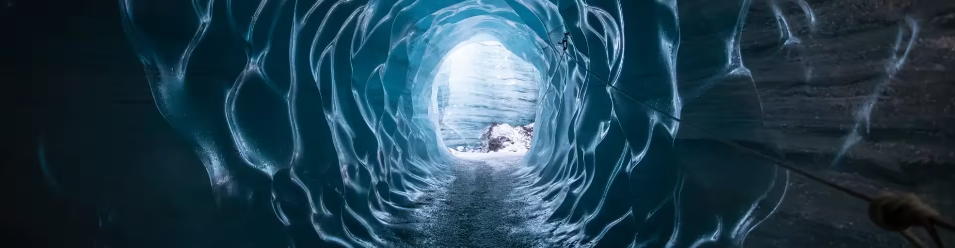
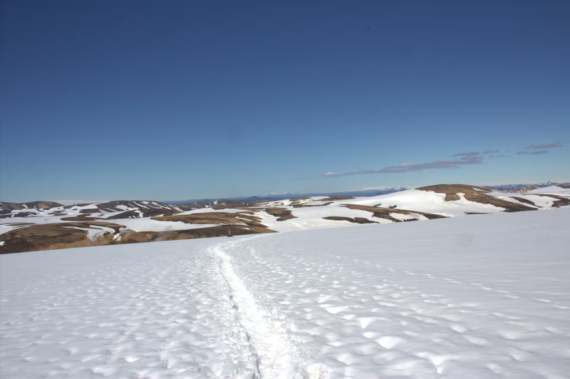
Visitors to the Katla region can explore the expansive Myrdalsjökull glacier, one of Iceland's largest ice caps, which conceals the volcano beneath its frozen surface. The surrounding area features volcanic black sand plains, glacial rivers, and stunning mountain vistas that showcase the raw power of Iceland's geology. Nearby attractions include access to glacier caves and the dramatic coastal landscapes that frame this geothermal hotspot.
Things to do in Katla
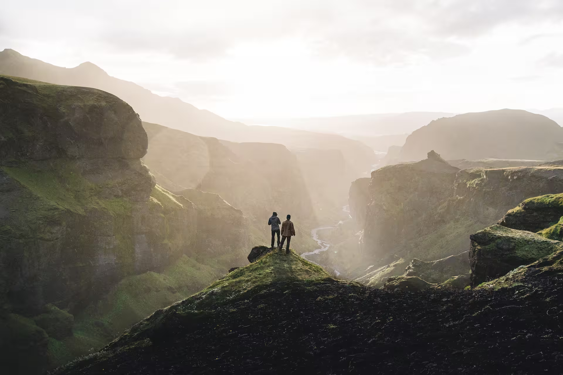
Adventure seekers can embark on glacier tours and ice cave expeditions across Myrdalsjökull, offering immersive experiences of Iceland's frozen wilderness. Hiking trails in the region provide opportunities to witness volcanic terrain and glacial formations up close. Professional guided tours are recommended to safely explore the glacier and understand the volcano's geological history and volcanic processes.
Geological Significance of Katla
Katla holds particular importance in Iceland's volcanic history, having produced some of the country's most powerful eruptions. The volcano's last major eruption occurred in 1918, and scientists monitor it closely today as one of Iceland's most potentially active subglacial volcanoes, making it a crucial site for understanding geothermal and volcanic activity in the Arctic region.
Katla is located in south Iceland, situated beneath the Myrdalsjökull glacier, one of Iceland's largest ice caps. The volcano is part of Iceland's Eastern Volcanic Zone and lies within the Vatnajökull region. Accessible from the town of Vik and nearby settlements, Katla represents a key geological feature of Iceland's south coast, characterized by dramatic glacial terrain and volcanic activity.