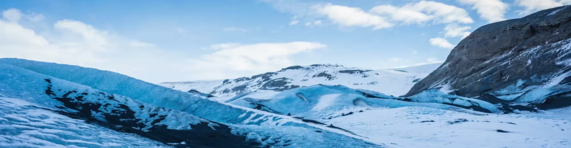
Myrdalsjokull is one of Iceland's most dramatic glaciers, located in the southern region near the small settlements of Vik and Skaftafell. This expansive ice cap covers approximately 700 square kilometers and is home to several outlet glaciers, including the famous Skaftafellsjokull. The glacier dominates the landscape with its stark white peaks contrasting against the dark volcanic soil below.
What to see in Myrdalsjokull
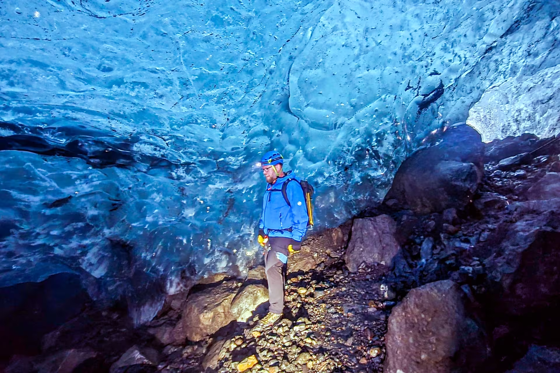
Visitors should not miss the stunning ice caves and crevasses found within the glacier's outlet valleys. The Skaftafellsjokull glacier tongue offers accessible viewpoints where travelers can observe the massive ice formations up close. The surrounding volcanic black sand plains and nearby waterfalls like Svartifoss create a dramatic backdrop to this natural wonder.
Things to do in Myrdalsjokull
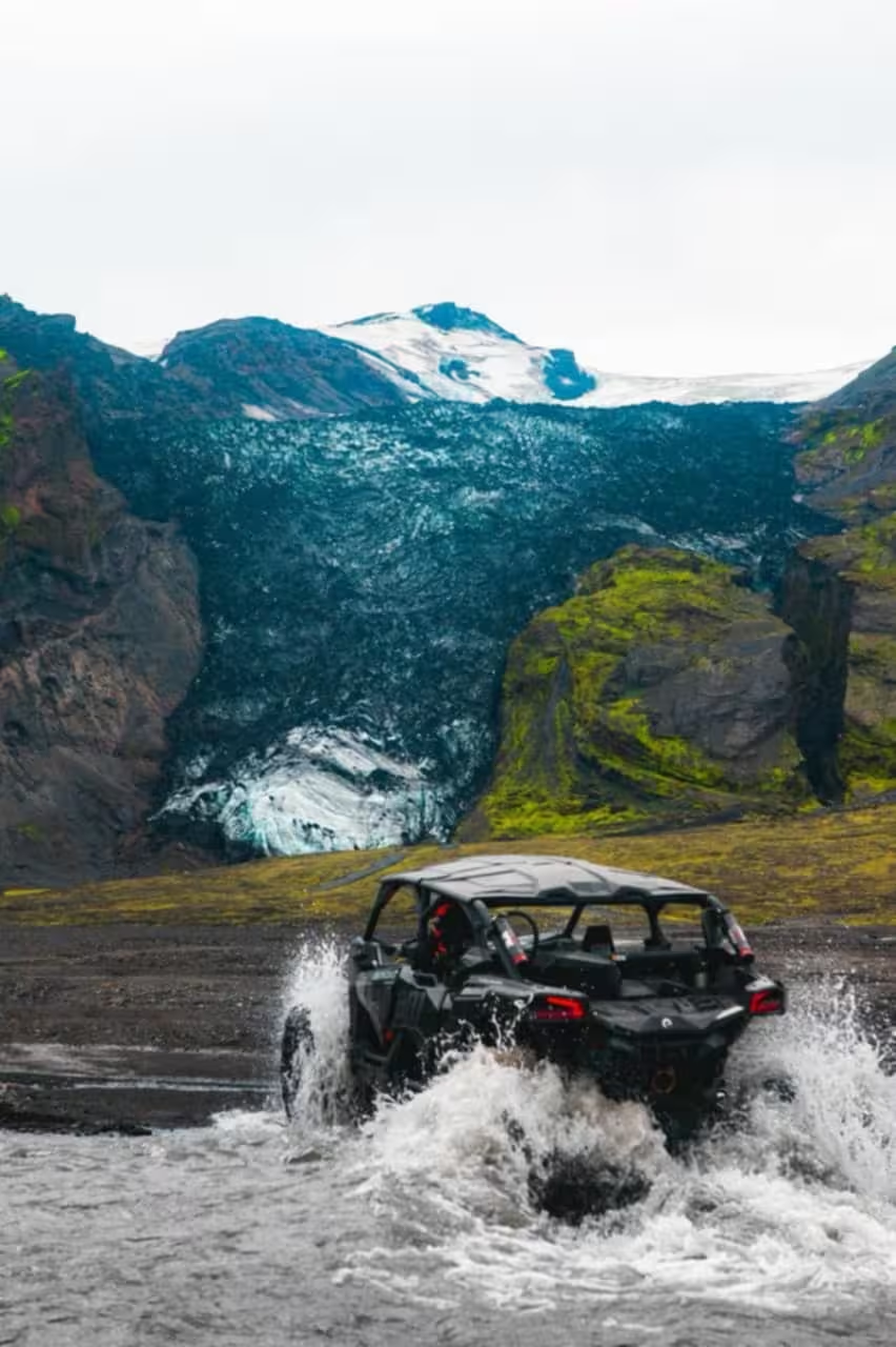
Guided glacier hiking tours allow visitors to explore the ice surface safely while learning about glacial geology. Adventurous travelers can join ice climbing expeditions on the steeper glacier faces. Photography enthusiasts frequent the area for its striking contrasts between ice, rock, and sky, particularly during golden hour.
Glacial Features and Volcanic Geology
Myrdalsjokull sits atop the active Katla volcano, making it a unique intersection of ice and fire. The glacier's black sand and ash layers reveal the ongoing volcanic activity beneath the ice sheet. This volatile landscape demonstrates Iceland's remarkable geological forces at work.
Myrdalsjokull is located in southern Iceland, approximately 270 kilometers east of Reykjavik. The glacier region is accessible via Route 1 (Ring Road) and sits near the towns of Vik and Skaftafell. The closest commercial airport is Keflavik International Airport, about 4-5 hours' drive from the glacier. The area experiences subarctic climate conditions with weather that can change rapidly throughout the day.
Iceland, Glaciers, South Iceland, Natural Wonders, Adventure Activities