




Katla Dead Ice Mapping Expedition with Katla Geopark
Measure vanishing ice, advance glaciology research, and earn your Citizen Scientist Certificate in Iceland's Katla Geopark.
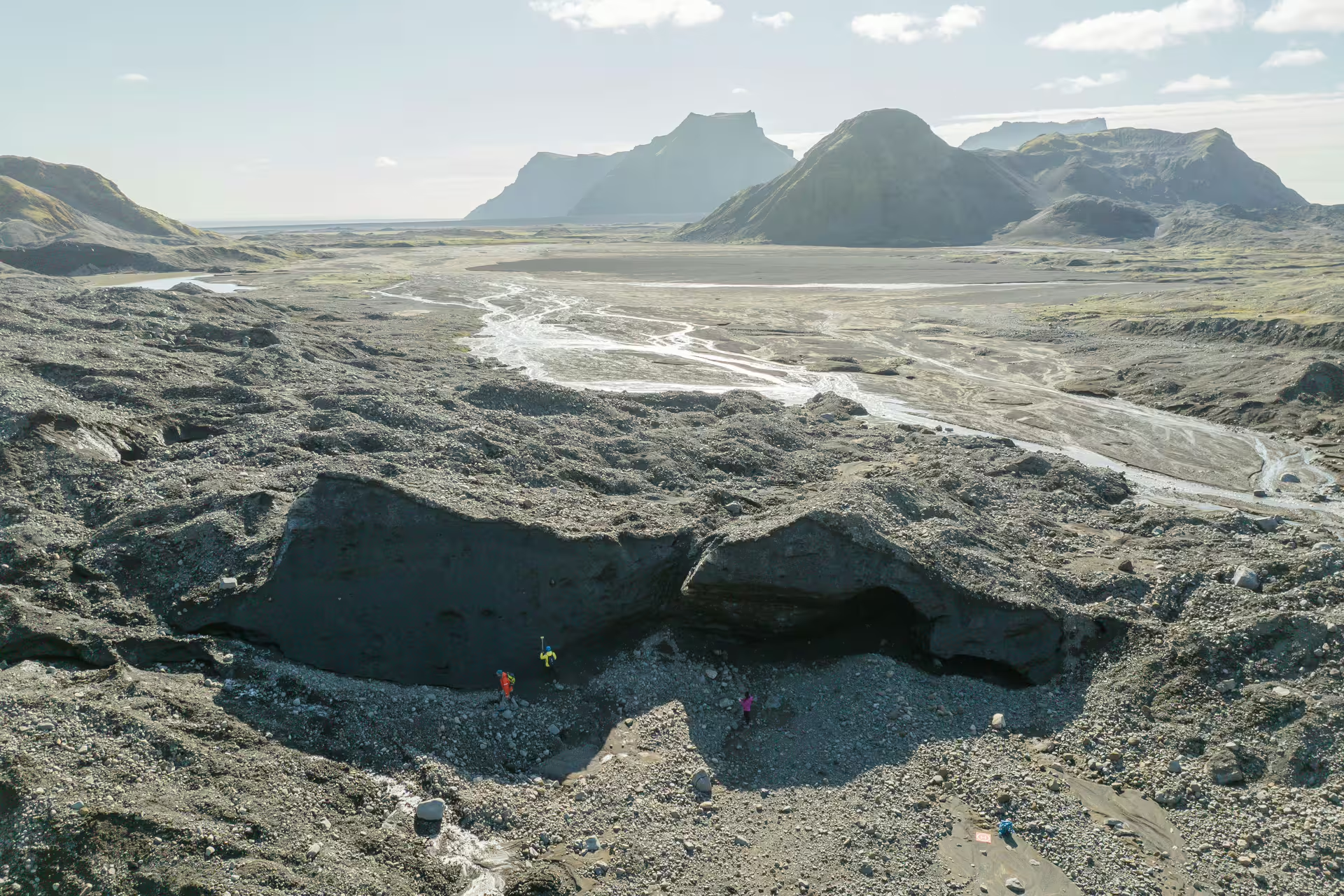
The Katla Dead Ice Mapping Expedition places participants at the frontier of real glaciology research inside one of Iceland's most closely watched volcanic regions. Over eight hours, guests collect field data alongside trained guides on the Katla Glacier outlet, contributing directly to a scientific record that has been largely absent until Katla Geopark launched these missions.
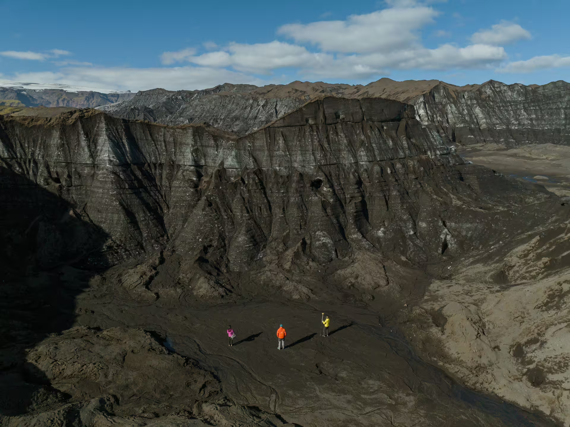
Dead ice is glacier ice that has separated from the main body and is no longer advancing. Isolated beneath layers of volcanic sand and sediment, these blocks melt at rates that scientists are still working to quantify, and the answers carry direct relevance to understanding broader glacial retreat across Iceland.
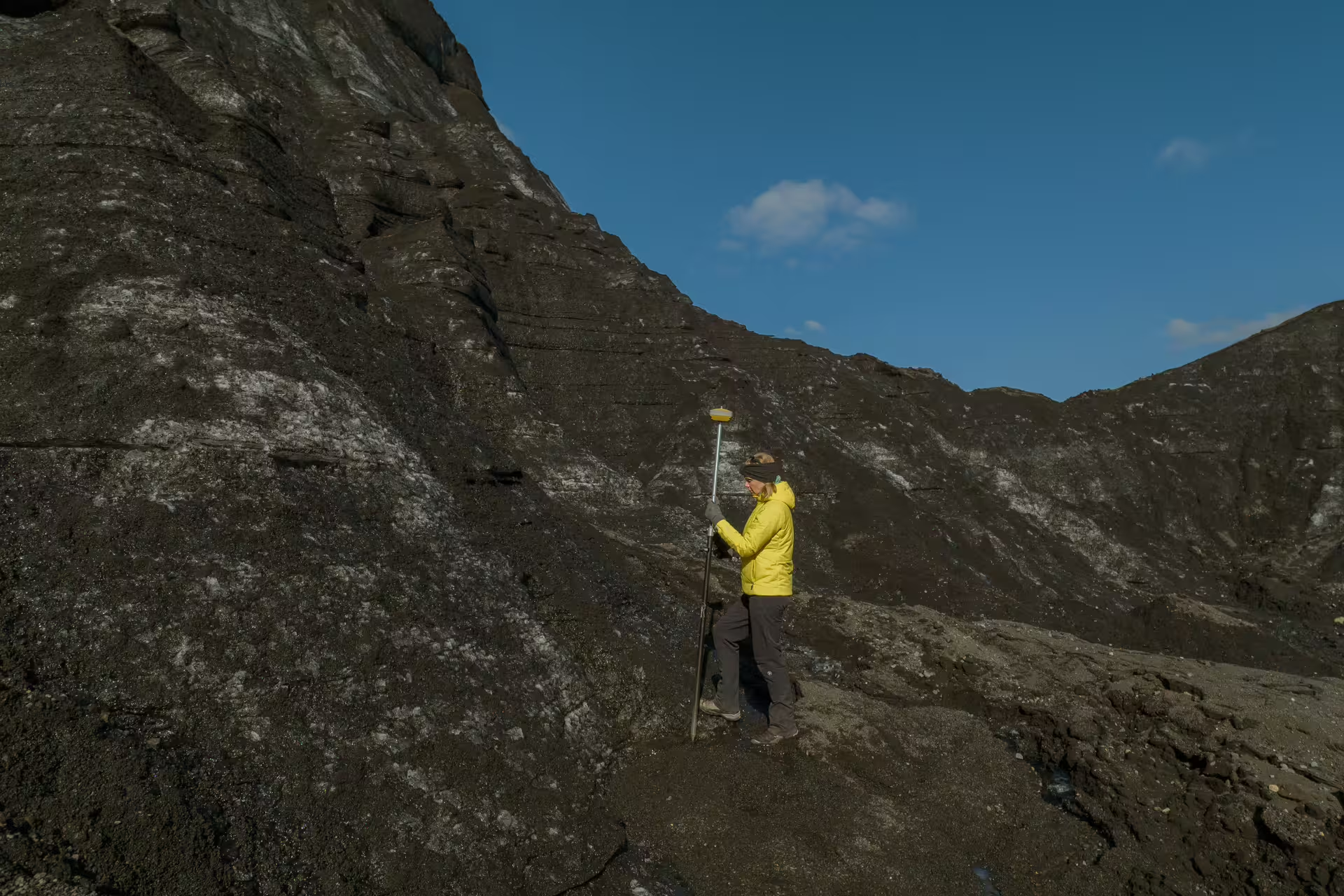
Participants use GPS receivers, drones, and ground cameras to measure and document ice features, requiring no prior scientific or technical background. Hands-on training is provided on-site, making this accessible to curious travelers who want to do more than observe the landscape around them.
Expedition Highlights
Engage in structured data collection measuring real ice features and dead ice zones on the Katla Glacier outlet.
Receive hands-on training with GPS units, drones, and ground cameras before heading into the field.
Participate in dead ice mapping, analyzing areas where retreating ice leaves behind isolated blocks under sediment layers.
Receive an official Citizen Scientist Certificate issued by Katla Geopark upon completing the expedition.
Receive your processed results by email, and have your name published in an official Katla Geopark scientific report.
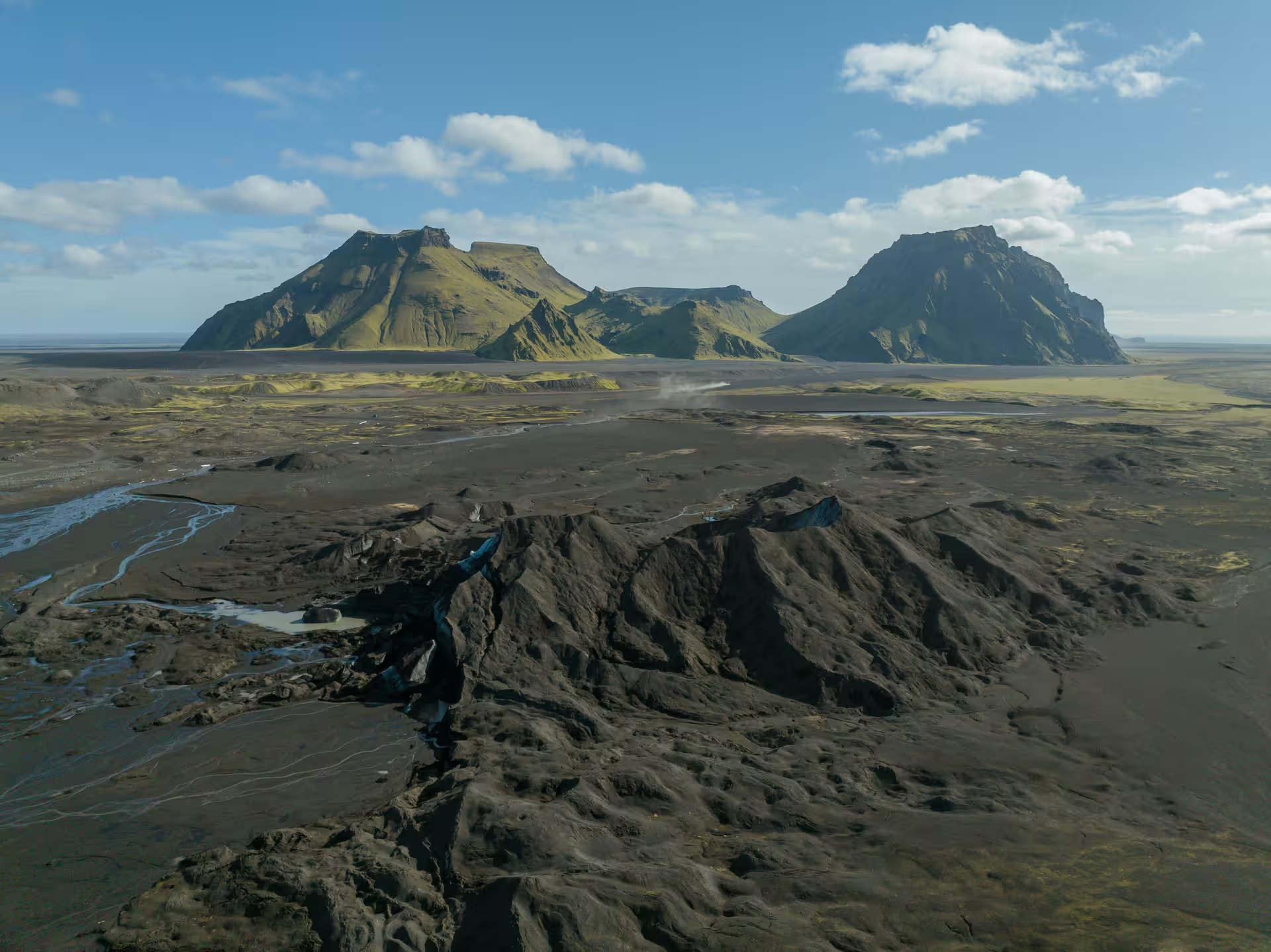
Take in panoramic views of Myrdalsjokull ice cap and Iceland's rugged highland landscape from the glacier surface.
Explore natural ice formations and learn what they reveal about glacial movement, volcanic influence, and climate impact.
How the Day Unfolds
Meet the Katla Geopark team at the designated starting point. Guides introduce the scientific goals of the day, outline field safety protocols, and explain what dead ice is and why it matters to current climate research.
Participants receive practical instruction on GPS devices, drone operation, and ground camera techniques. No prior experience is required, and guides remain on hand throughout to assist with equipment use.
The group travels to the Katla Glacier outlet to begin measuring and documenting ice features. Participants record the dimensions of dead ice blocks, note sediment cover, and log GPS coordinates for each site.
Aerial and ground-level imagery is captured to support the mapping record. Guides help participants frame and conduct drone flights over identified dead ice zones for comprehensive coverage.
The team reviews collected data together, and guides explain how the information will feed into the ongoing Katla Geopark research reports. Participants ask questions and discuss findings in context.
Each participant receives their official Citizen Scientist Certificate from Katla Geopark. Processed results and ongoing data updates will follow by email in the weeks after the tour.
What Is Included
Included
- Guided 8-hour expedition on Katla Glacier outlet
- Hands-on training with GPS, drone, and ground camera
- All scientific equipment needed for data collection
- Official Citizen Scientist Certificate from Katla Geopark
- Processed results emailed after the tour
- Name published in an official Katla Geopark scientific report
- Ongoing data updates via email
Not Included
- Transportation to and from the meeting point
- Personal travel insurance
- Food, snacks, and beverages
- Personal cold-weather clothing and footwear
- Gratuities for guides
Important Information
Join the Expedition
Spend a day as a working glaciologist in Iceland's Katla Geopark, collect real scientific data on vanishing ice, and leave with a certificate, published credit, and a contribution to climate research that outlasts the tour itself.
Book Now