




Katla Glacier Mapping Expedition
Walk the ice, record the change, and leave a scientific legacy in Iceland's most dynamic highland landscape.
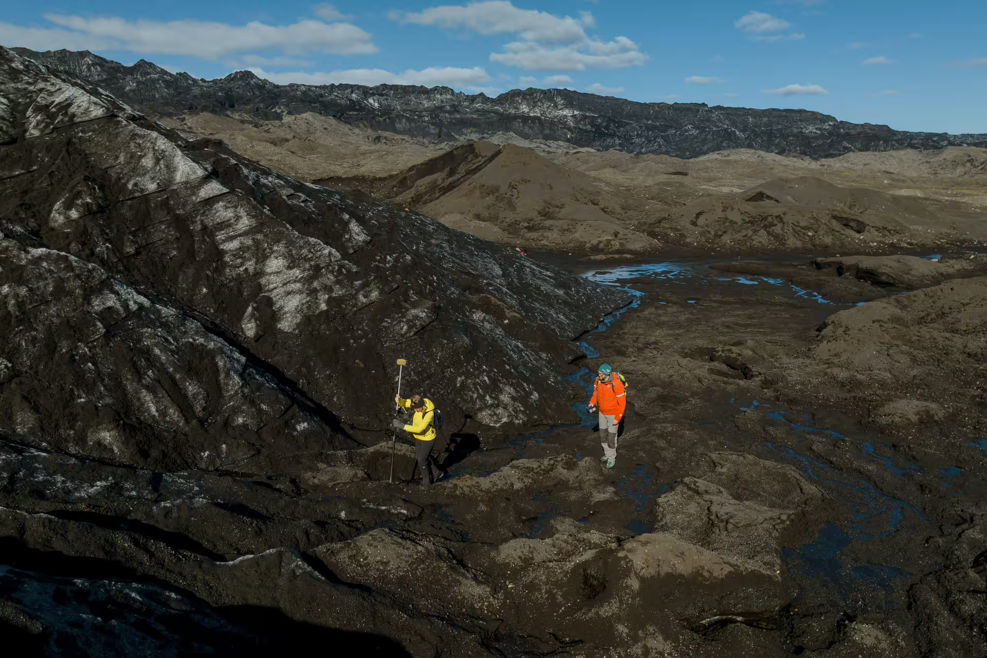
The Katla Glacier Mapping Expedition is a full-day, guided scientific mission that transforms participants into active contributors to real glaciological research. Rather than simply observing the glacier, you will collect measurable data that feeds directly into ongoing studies of glacial recession and ecosystem health.
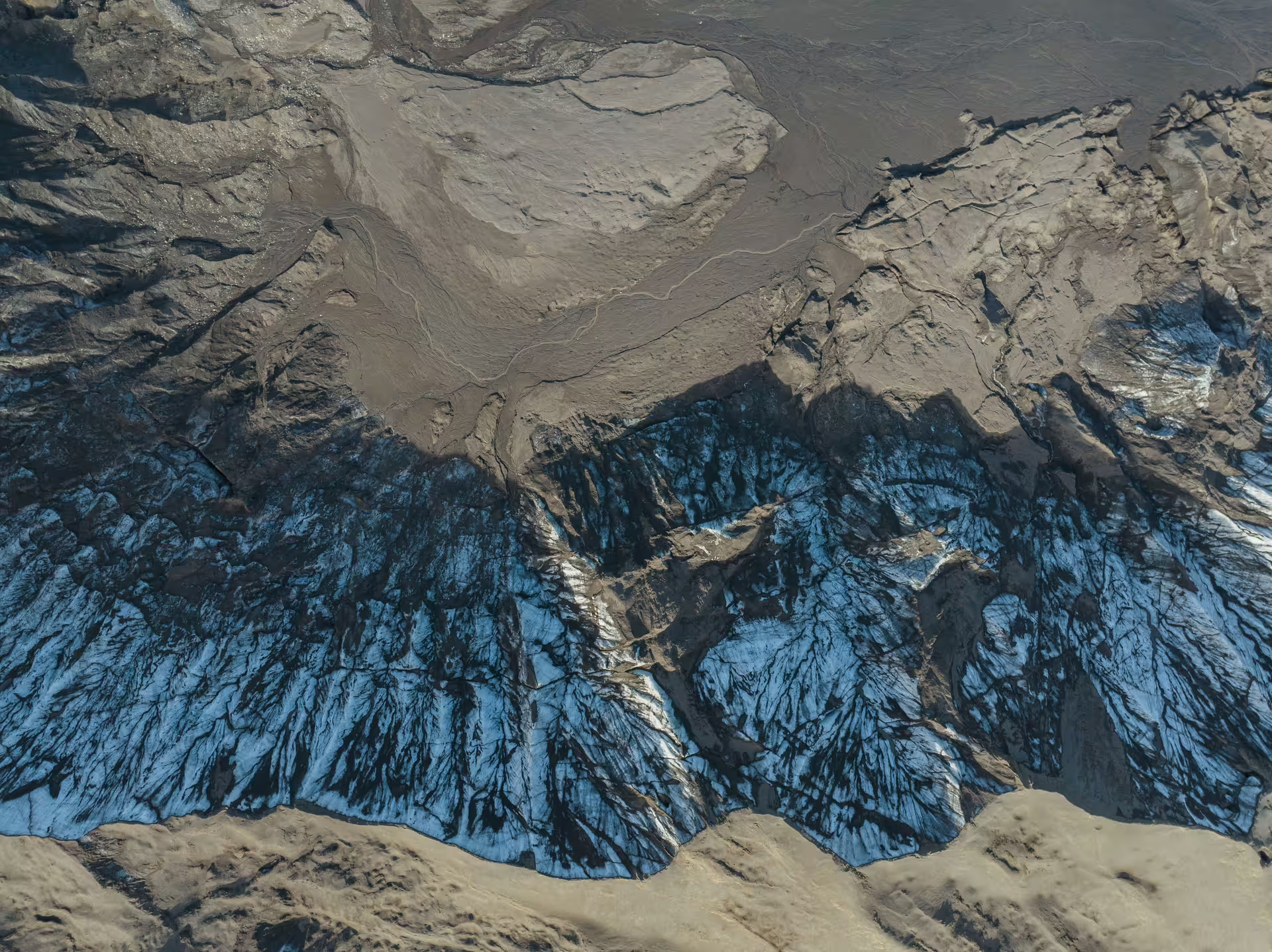
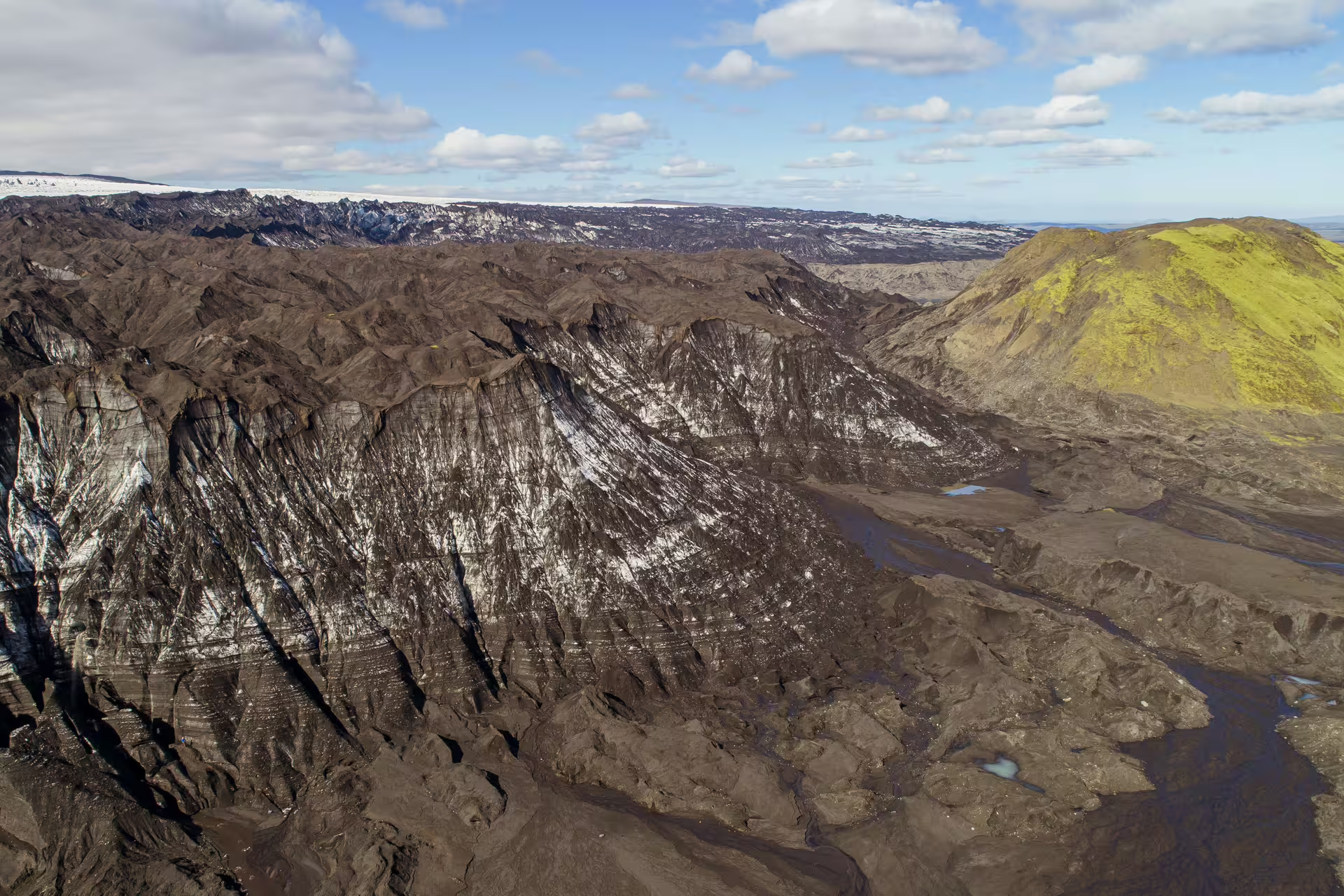
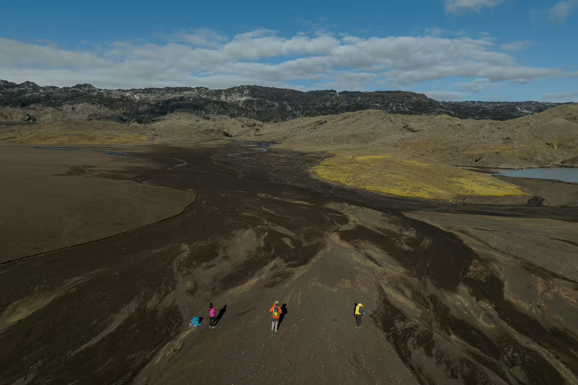
Set against the dramatic backdrop of southern Iceland's highland terrain, Katla Glacier sits above one of Europe's most active volcanoes. The journey begins in the coastal town of Vik, passing through layered volcanic landscapes before reaching the glacier's outer edge, where science and adventure converge.
This expedition is rated easy and requires no prior scientific background. Participants of varied fitness levels have completed it successfully. What you bring to the day is curiosity and willingness to engage with the environment in a genuinely purposeful way.
Upon completing the mission, each participant receives a formal Citizen Scientist Certificate and has their name published in an official report on the Katla Geopark website. Follow-up emails deliver the processed data results from your specific day in the field.
Expedition Highlights
Participate in hands-on glacier edge mapping using advanced GPS equipment alongside professional researchers.
Receive a formal Citizen Scientist Certificate and have your name published in a Katla Geopark scientific report.
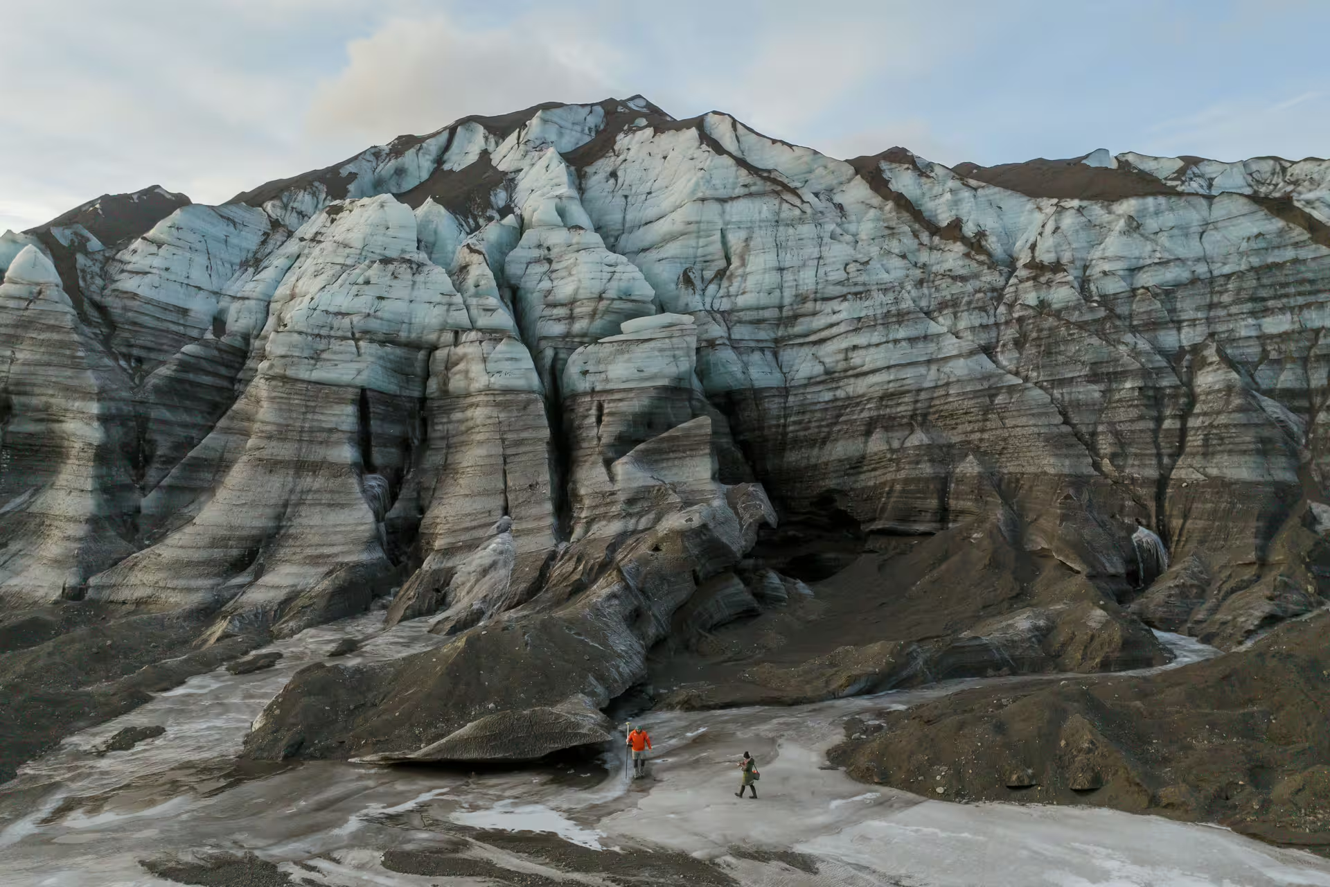
Trek along the base of Katla Glacier equipped with crampons, helmets, and ice axes as conditions require.
Gain geological context about the broader Katla Geopark and how its interconnected systems function.
Receive post-expedition data results and ongoing research updates directly to your inbox.
Enjoy panoramic highland views during a lunch break surrounded by volcanic mountains and expansive ice fields.
Expedition Itinerary
The expedition sets out from Vik with a scenic drive toward the Icelandic highlands. Your guide introduces the local geology and explains what to expect at the glacier.
At the glacier's edge, you receive a full safety briefing and an introduction to glacier mapping methodology. Specialized gear including crampons, helmets, and ice axes is distributed as required.
Trek along the lower margins of Katla Glacier, using GPS equipment to record the current rate of glacial recession. This is the core scientific component where your collected data contributes directly to ongoing research.
A lunch break is taken amid sweeping views of the surrounding volcanic mountain ranges and the glacier's vast ice surface. Your guide continues to share geological context about the Katla Geopark.
After completing the mapping segment, the group hikes back to the awaiting 4x4 vehicle. The return drive out of the highlands marks the close of the field mission.
What Is Included
Included
- Professional glacier guide throughout the expedition
- Safety gear including crampons, helmet, and ice axe as required
- GPS mapping equipment for scientific data collection
- Transport from Vik to the glacier and return
- Lunch during the expedition
- Citizen Scientist Certificate upon completion
- Name published in Katla Geopark scientific report
- Post-expedition data results and ongoing email updates
Not Included
- Personal travel insurance
- Gratuities for guides
- Personal clothing and base layers
- Any items of a personal nature
Important Information
Join the Expedition
Contribute to real glacier science on the slopes of Katla, one of Iceland's most closely watched volcanic systems, and take home a certified record of your contribution to the research.
Book Now