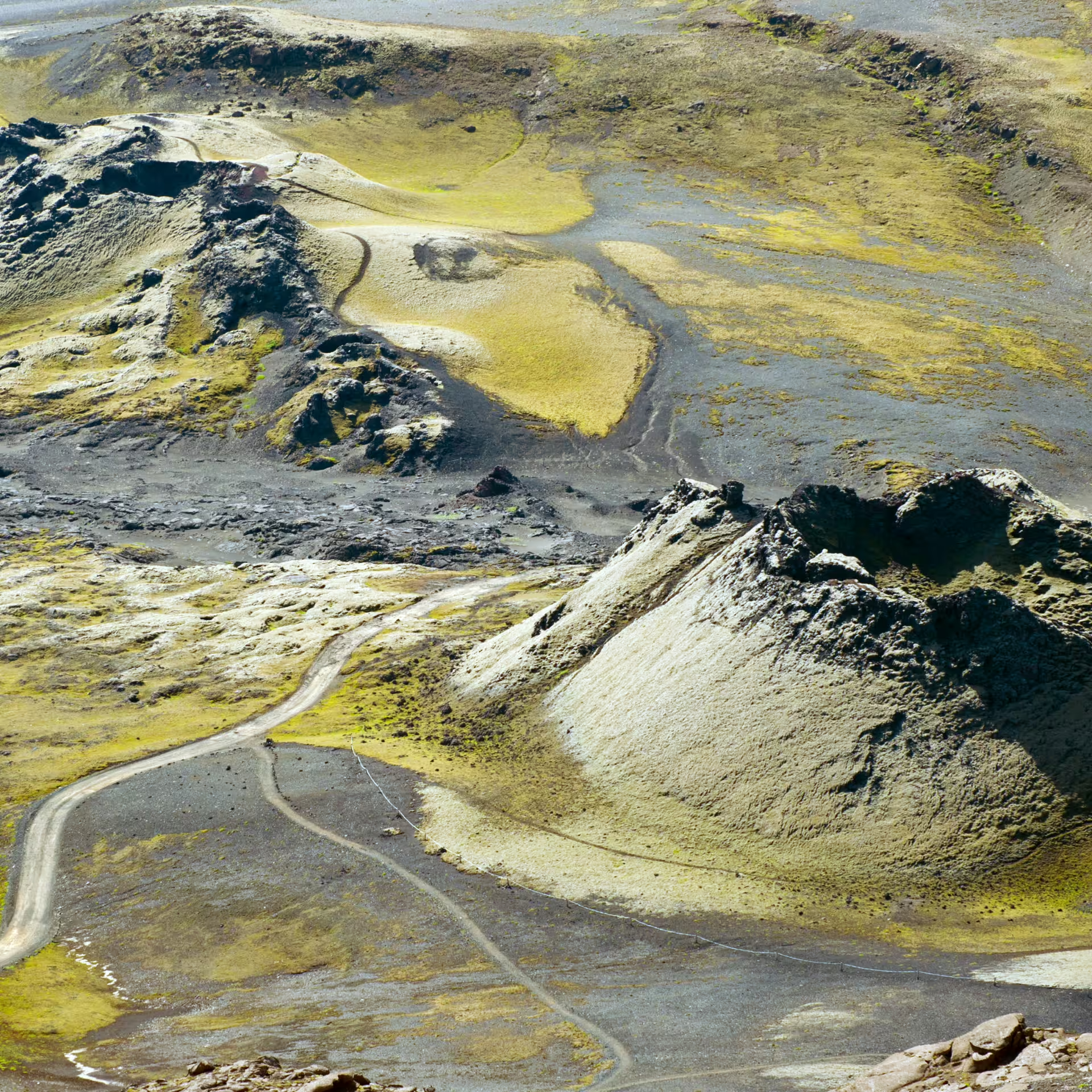
Laki is a volcanic system located in Iceland's interior highlands, renowned for its dramatic fissure eruptions and stark volcanic landscape. The site features the famous Lakagigar crater row, stretching across the barren terrain, and offers visitors a glimpse into the raw power of geothermal activity that shaped Iceland's unique character.
What to see in Laki
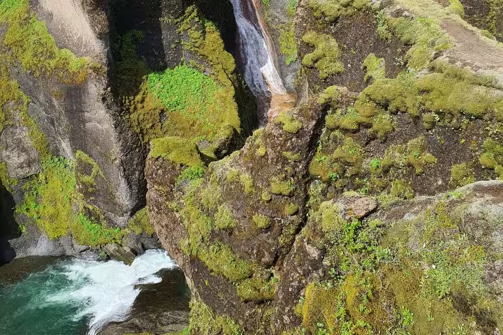
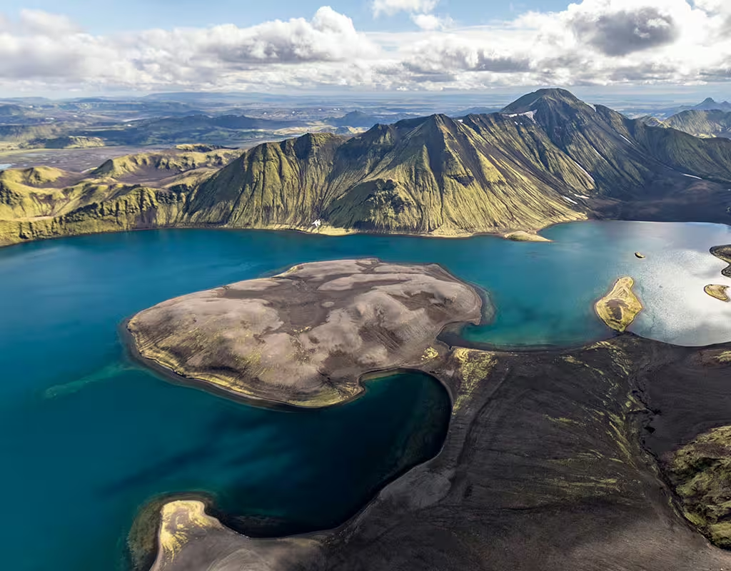
Visitors should not miss the striking Lakagigar craters that form an extensive fissure system across the plateau. The landscape reveals colorful lava formations, moss-covered volcanic rock, and panoramic views of the surrounding highlands. Nearby, the Eldhraun lava field showcases one of the world's largest lava flows from the 1783-84 eruption.
Things to do in Laki
Hiking trails wind through the volcanic terrain, offering immersive experiences for trekkers of varying abilities. Guided tours depart from nearby towns, providing insights into Iceland's geological history and the eruption's historical impact. Photography enthusiasts find endless opportunities capturing the otherworldly scenery.
Geological Significance of Laki
The 1783-84 eruption at Laki was one of Iceland's most significant volcanic events, releasing massive amounts of ash and gas. This catastrophic eruption profoundly affected Iceland's climate and population, making it a crucial site for understanding volcanic impacts on human civilizations and Earth's atmospheric systems.
Laki is situated in Iceland's remote interior highlands, approximately 120 kilometers southeast of the town of Kirkjubæjarklaustur. The volcanic system is accessible during summer months via mountain roads and guided tours. The region represents one of Iceland's most important geological sites, with the dramatic fissure system visible across vast expanses of barren terrain. The harsh climate and remote location require proper preparation and vehicle access or guided expedition arrangements.