




Last updated:


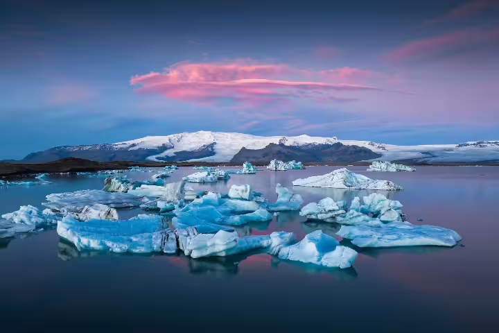
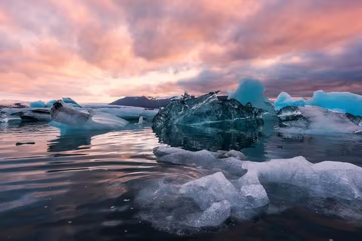
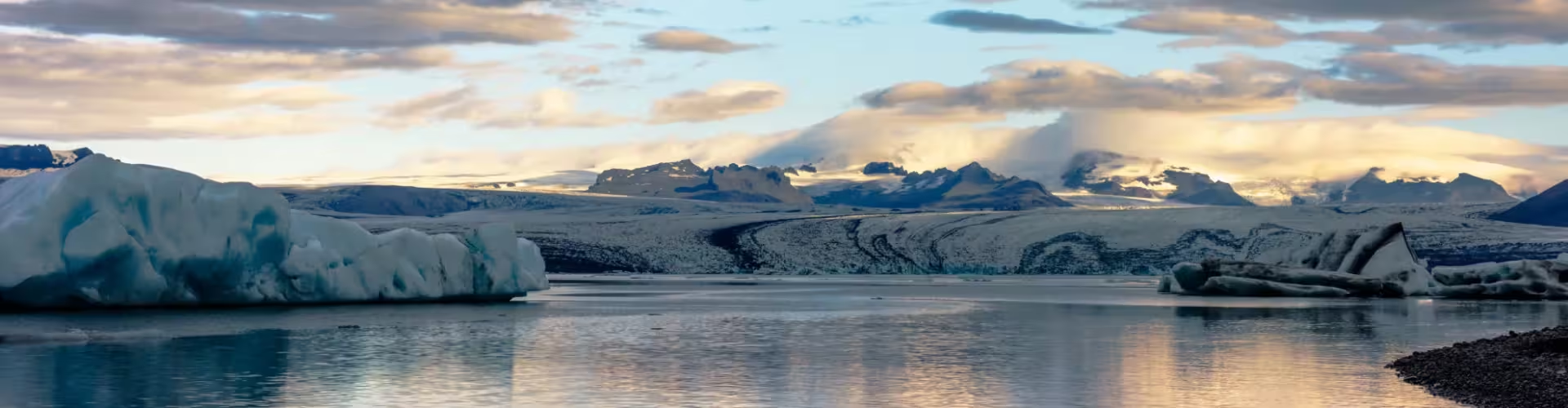
Fjallsárlón is worth a stop if you want a glacier lagoon with a short circular walk and a viewpoint over the surrounding landscape. On Breiðamerkursandur, at the southern margin of Vatnajökull, it puts the lagoon and the wider glacier landscape into the same visit.
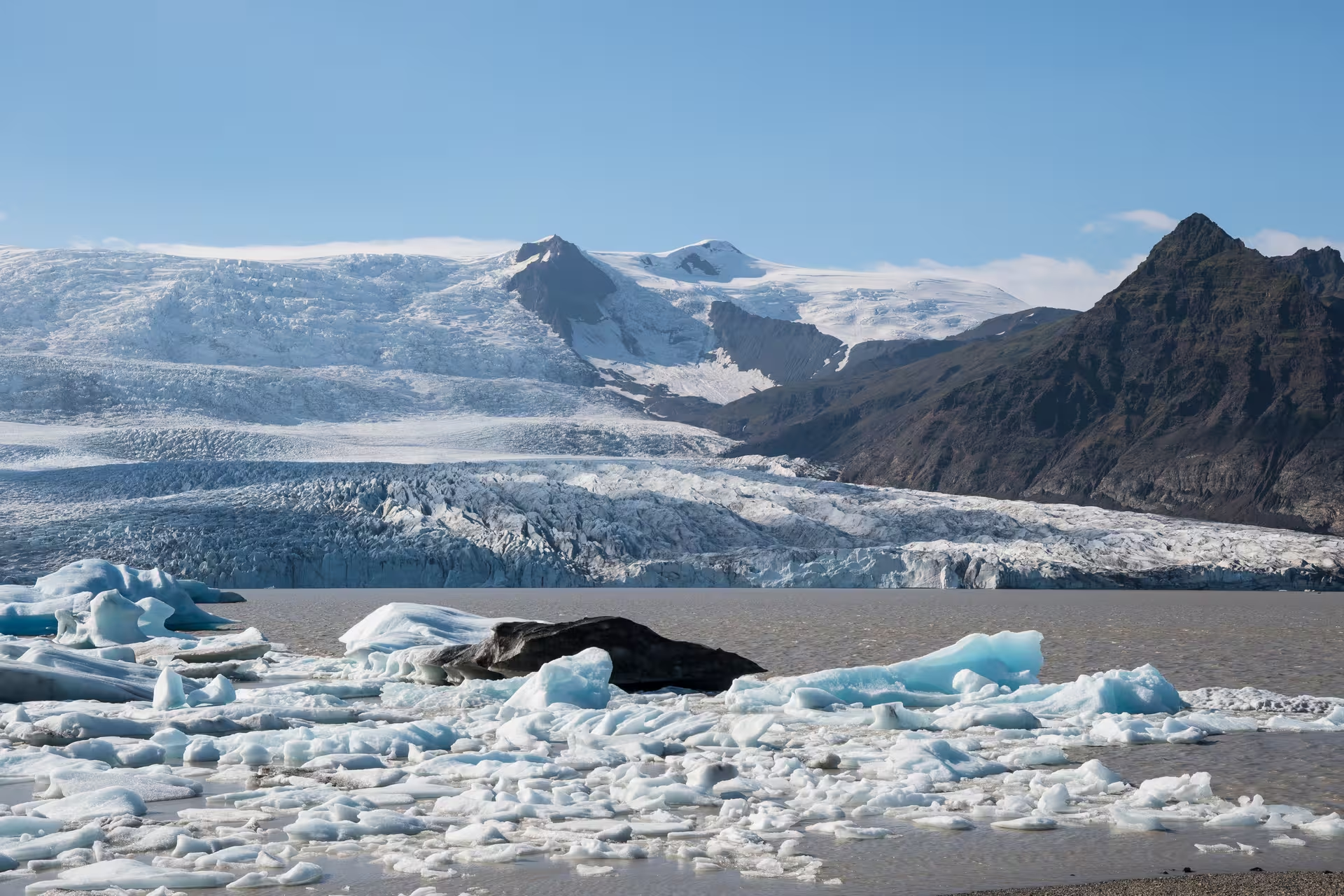
The B4 circular walk is the option for a shorter outing focused on Fjallsárlón, rather than a walk between lagoons. Its 1.5 kilometres take you around a loop, so you can keep your walk centred on this stop. The viewpoint brings Hrútárjökull, Ærfjall, Fjallsjökull, Breiðamerkurfjall and the lagoon into view; head there if seeing the surrounding landscape matters as much as seeing the water.
Breiðármörk is the longer alternative for travellers who want walking to be a substantial part of the visit. The route links Fjallsárlón with Jökulsárlón over 15 kilometres, crossing sand, stony ground and moraines. That distance and terrain make it a different commitment from the B4 loop, rather than a short stroll to the next lagoon.
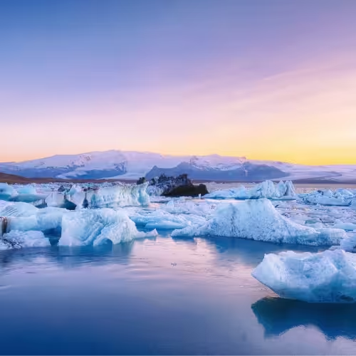
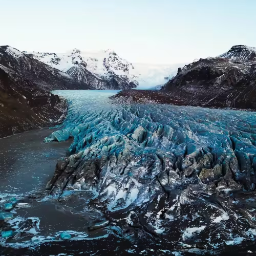
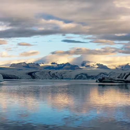
A visit to Jökulsárlón extends the glacier focus beyond Fjallsárlón, linking another lagoon to the same ice cap. Fjallsárlón sits along Vatnajökull's southern edge, while Breiðamerkurjökull, an outlet of Vatnajökull, feeds Jökulsárlón. Seeing both is a way to connect the names on your route with the glacier landscape around you.
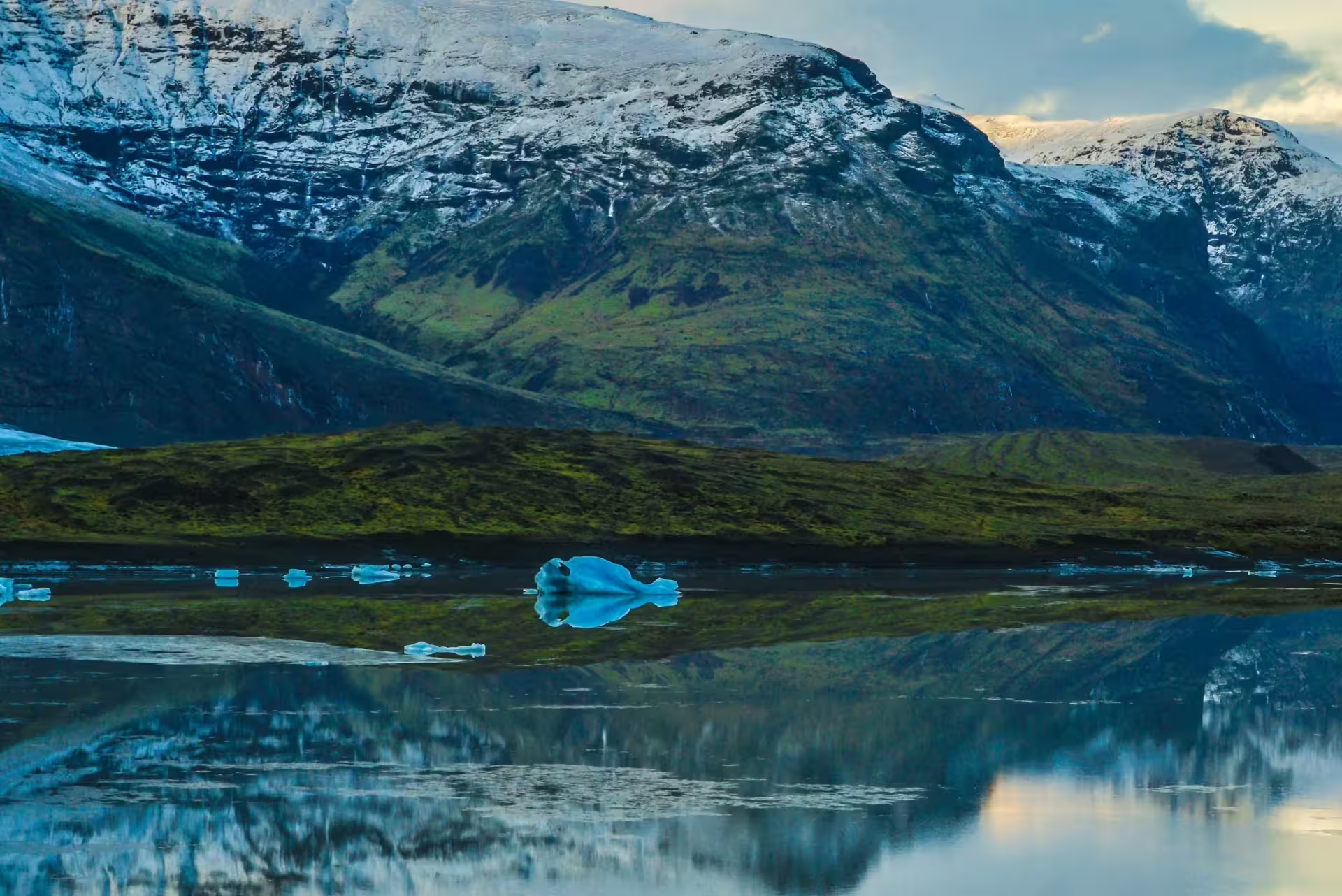
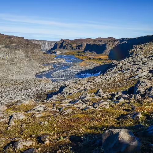
The ground around the lagoons deserves attention too: the glacier foreland has sandy stretches, grassland and wetlands. Birdwatchers have a reason to look beyond the water, as great skuas, red-throated divers, greylag geese and barnacle geese nest on Breiðamerkursandur. These nesting grounds make the surrounding land part of the visit, rather than simply the space between lagoon stops.
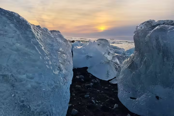
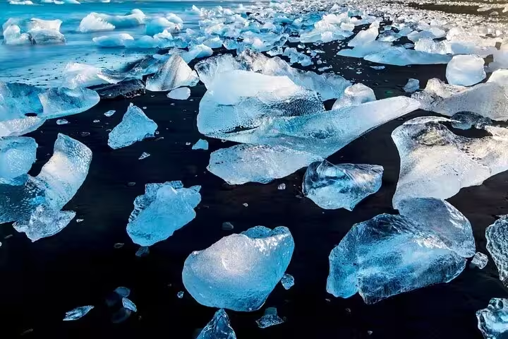
One day can centre on the B4 walk at Fjallsárlón, followed by Jökulsárlón and Fellsfjara, if you are visiting the lagoons rather than walking between them. Jökulsárlón is 10 kilometres from Fjallsárlón, making the pair a practical combination for a lagoon-focused day. Beside Jökulsárlón, Fellsfjara offers a change of setting: glacier ice washes onto black sand, which explains its Diamond Beach name.
If you want a guided day covering Diamond Beach and Jökulsárlón with Fjallsárlón included, the guided day tour to Diamond Beach and Jökulsárlón makes that an 11-hour commitment.
For travellers wanting a South Iceland day trip with Glacier Lagoon and Diamond Beach, the 14-hour day trip includes a Fjallsárlón stop only if time permits.
Road access makes Fjallsárlón a short detour from Route 1, rather than a destination reached by a long access road. The paved turn-off runs for a little over 500 metres.
For a route planned around Höfn í Hornafirði, place the lagoon about 90 kilometres west of town.
If you want a guided glacier lagoon outing from Reykjavík, the full-day guided tour from Reykjavík is a 12-hour option with a local guide.
Yes, the lagoon covered about 0.5 square kilometres in 1945 and 3.7 square kilometres in 2018, and satellite imagery recorded roughly 4.2 square kilometres in October 2023.
At least 45 metres, according to a 1951 measurement, while a 1966 measurement recorded 58 metres.
Yes, it was inscribed on the UNESCO World Heritage List on 5 July 2019 for its natural heritage.