




Last updated:


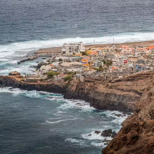
Walking and visits to villages give a Santo Antão trip its shape, with Cova crater, Paúl and Ponta do Sol offering different reasons to stop. Part of Cabo Verde's Barlavento group, the island brings volcanic scenery and colonial buildings into the same itinerary.
A trip here can balance the volcanic landscape with architecture and local crafts. Ponta do Sol offers colonial architecture, with the town hall among the buildings to look for. In Cova, Paúl and Ribeira da Torre Natural Park, traditional crafts draw on sisal and reeds gathered locally.
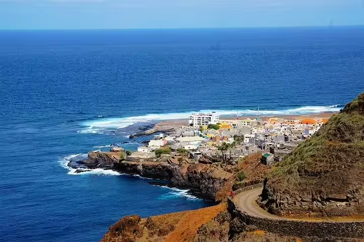
For a stop centred on history rather than walking, Pedra Escrivida (also called Pedra da Nossa Senhora) has inscriptions whose origin and meaning are still disputed. The stone is in Ribeira do Penedo, near Janela, so it gives a visit there a specific focus.
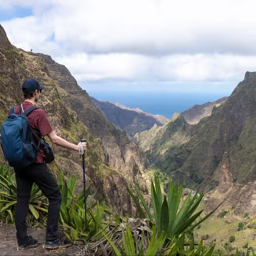
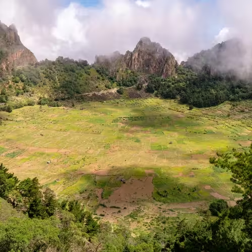
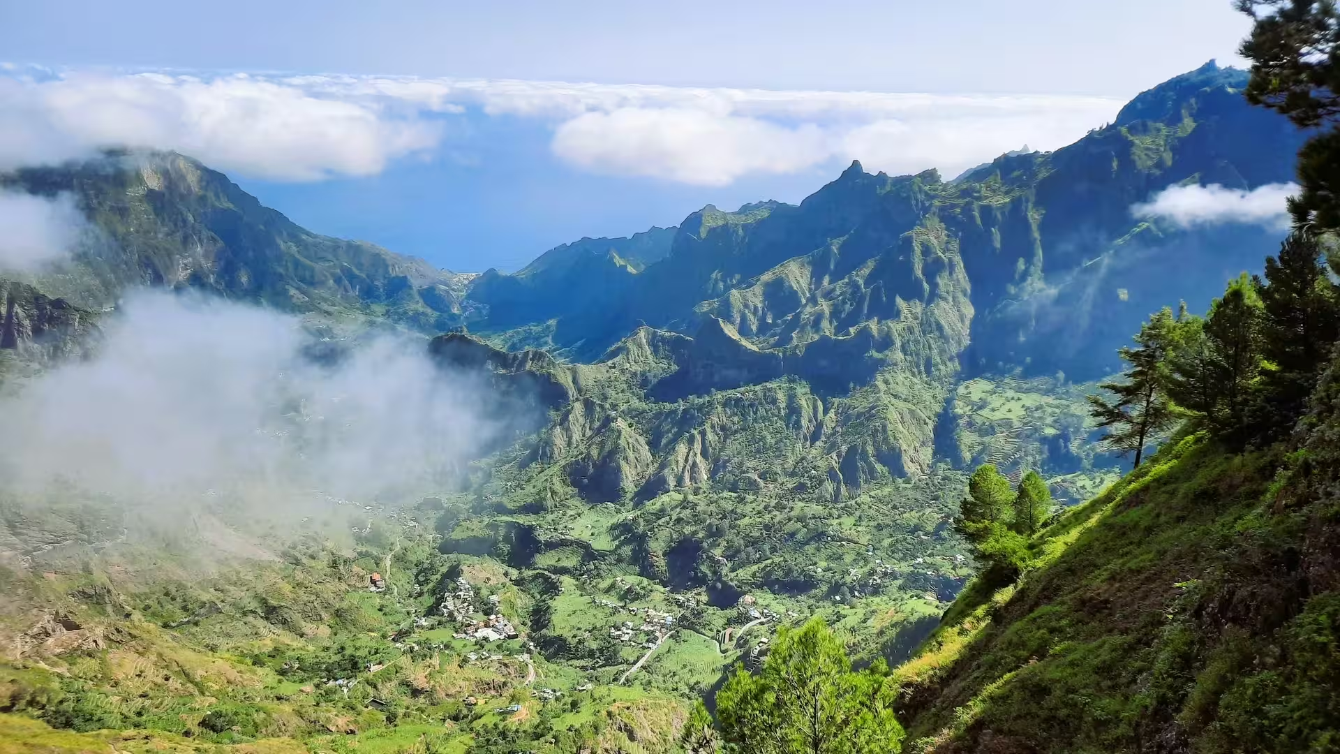
Plan around the terrain: the natural park spans a substantial range of elevations. Its heights run from roughly 400 metres around Xoxô to 1,585 metres at Pico da Cruz. The upland landscape includes Cova crater and woodland of Pinus, Eucalyptus and Grevillea.
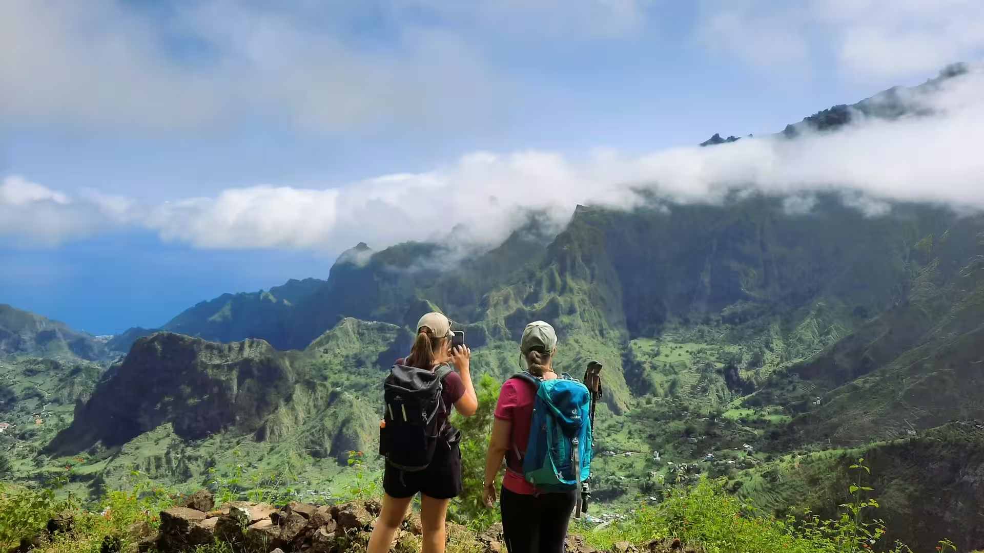
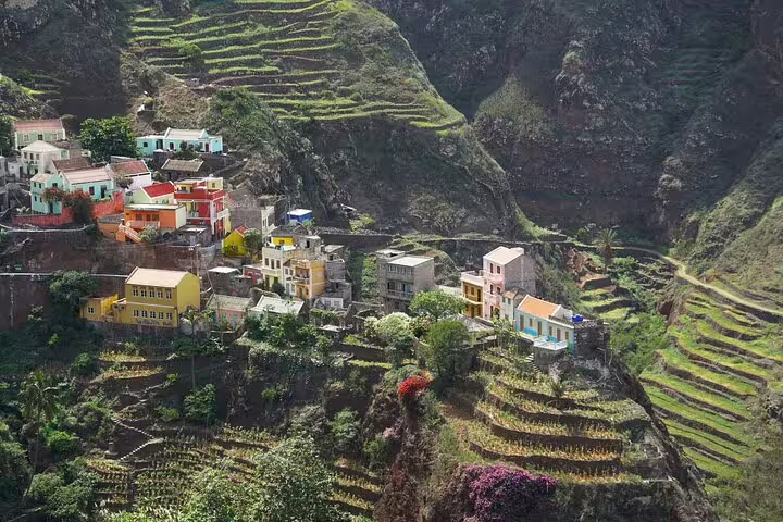
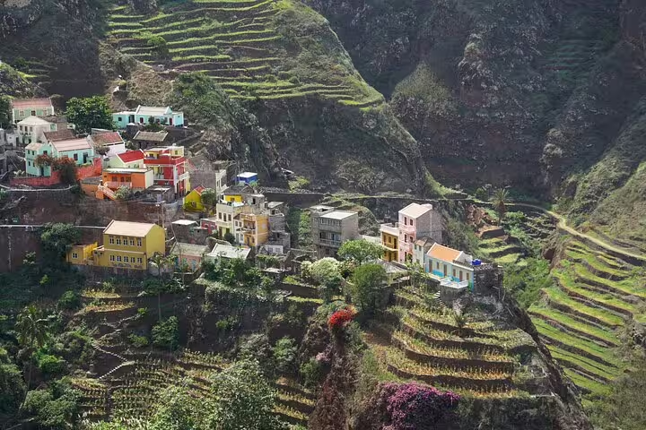
For a guided walk linking villages, the Ponta do Sol to Fontainhas hike lasts 7 hours and includes a hiking guide, a picnic lunch at Praia das Aranhas and guidance throughout the trail. Fontainhas itself sits along the crest of a steep mountain, making the village setting part of the reason to go.
A guided walking tour is an option for exploring Ribeira Grande. The Ribeira Grande and Coculi walking tour takes 6 hours, with a local guide, a picnic lunch at Boca das Ambas Ribeiras and explanations of flora and fauna along the way.
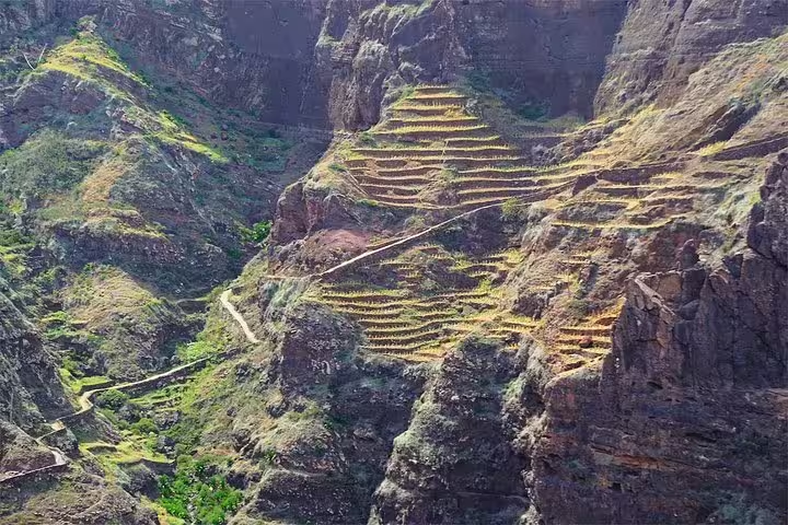
For an interest in farming, Ponte Canal adds a reason to look beyond village buildings. The aqueduct supplies irrigation water to farmland around Boca de Ambas Ribeiras and Boca de Coruja. Built from stone masonry in 1956, it is recorded as national heritage.
A guided hike from Cova crater gives a walking visit to Paúl valley a clear route. The Cova crater to Paúl valley guided hike lasts 5 hours and includes a local guide throughout, return vehicle transport and a grogue tasting at a traditional distillery.
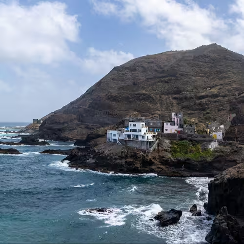
For another focus in the municipality, the Fontes Pereira de Melo Lighthouse stands on the Ponta de Tumbo headland near Janela. It is also known as Farol de Boi, a name worth recognising when reading about the lighthouse.
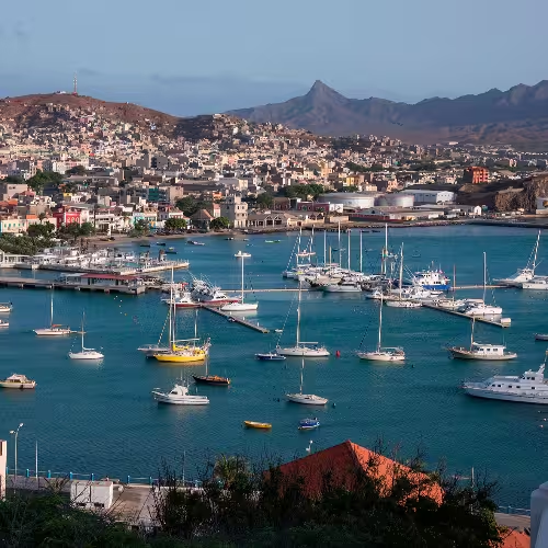
The connection from São Vicente is by sea, with ferries running daily between Mindelo and Porto Novo. Santo Antão can only be reached by sea, while Cesária Évora International Airport is on São Vicente. That makes the ferry crossing part of the journey when arriving through that airport.
Three days would give each of these walks its own day: Cova to Paúl on the first, Ribeira Grande on the second, and Ponta do Sol to Fontainhas on the third. Their respective durations of 5, 6 and 7 hours are the reason to spread them out rather than combine them in a day.
Public buses and shared minibuses are options for travelling around the island. The shared minibuses are known as alugueres.
The crossing between São Vicente and Santo Antão takes about 1 hour.
Rainfall is low on the coast and higher in the north-facing uplands, where most of it falls between August and October.
Yes, Ordinance 34/2024 designated the village as National Cultural and Natural Heritage.