Santo Antão: Hiking Ribeira Grande – Coculi – Boca das Ambas Ribeiras – Chã de Igreja
A challenging journey through volcanic valleys, colonial waterways, and mountain villages on one of the Atlantic's most dramatic islands.
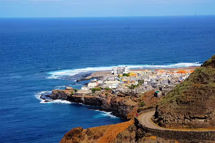
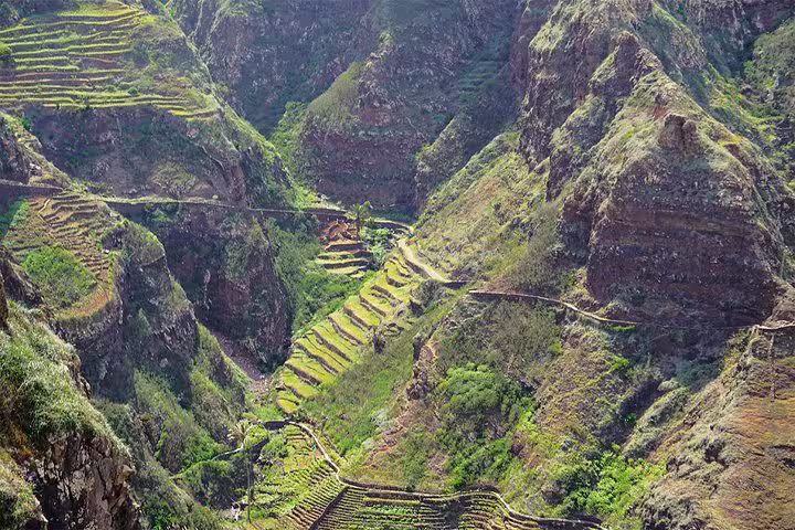
This full-day guided hike on Santo Antão hiking trail takes walkers deep into the island's interior, tracing a route shaped by centuries of agriculture, Portuguese colonial engineering, and volcanic geography. From the riverbed of Vila de Ribeira Grande to the clifftop promontory of Chã de Igreja, every kilometre reveals a new layer of the island's character.
The trail passes through active banana plantations and past a traditional windmill still used by local residents to draw water, before climbing toward the village of Coculi and its prominent Santo Crucifixo parish church. A knowledgeable local guide explains the native flora and fauna encountered along the way, adding ecological depth to a visually striking landscape.
One of the route's most historically significant features is a slender aqueduct constructed by the Portuguese in 1956, which continues to channel water across the valley today. After a picnic stop at Boca das Ambas Ribeiras with sweeping views down to the valley floor, the path winds through the settlement of Selado do Mocho before concluding at the promontory of Chã de Igreja.
Tour Highlights
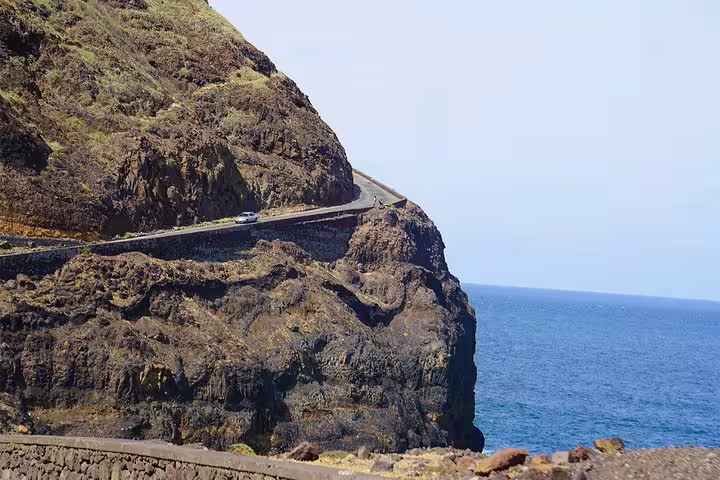
Follow a cobbled zigzag path through volcanic terrain connecting four distinct valley communities.
Discover a functioning Portuguese aqueduct from 1956 that still irrigates sugarcane plantations today.
Learn about endemic flora and local fauna from a guide with deep knowledge of Santo Antão's ecosystems.
Visit the Santo Crucifixo parish church in Coculi, a landmark of the island's religious heritage.
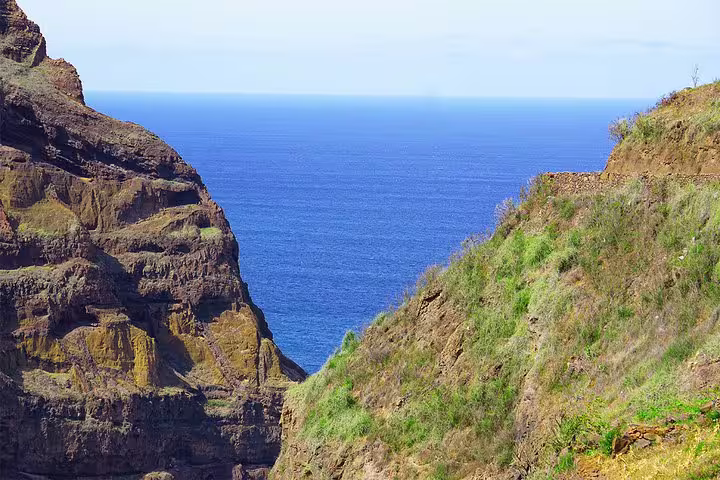
Enjoy a scenic picnic at Boca das Ambas Ribeiras with a vertiginous view over the valley below.
Finish at the promontory of Chã de Igreja and meet residents of one of the island's most remote villages.
Itinerary
The hike begins at the riverbed of Vila de Ribeira Grande, heading inland past scattered houses, banana plantations, and a working windmill used by locals to collect water from the valley.
After approximately one hour of walking, the route arrives at Coculi, a hillside settlement anchored by the Santo Crucifixo parish church. The guide provides context on the village's history and its place within the broader valley network.
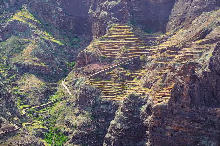
Passing through the second Ribeira Grande at the confluence of two valleys, walkers move between sugarcane fields to reach a slender aqueduct built by the Portuguese in 1956. The structure remains operational, a testament to mid-century colonial engineering on the island.
Roughly half an hour beyond the aqueduct lies the small village of Boca das Ambas Ribeiras, meaning Mouth of Both Valleys. A picnic is enjoyed here with an open panorama over the steep valley floor far below.
After the picnic, a cobbled zigzag path leads through the compact settlement of Selado do Mocho and alongside the Ribeira Garça, offering a quieter stretch of trail through increasingly rugged terrain.
The walk concludes at the promontory of Chã de Igreja, where there is time to meet local residents before the return transfer delivers walkers back to their accommodation.
What's Included
Included
- Local expert guide throughout the hike
- Picnic lunch at Boca das Ambas Ribeiras
- Return transfer to accommodation
- Flora and fauna interpretation along the route
Not Included
- Personal travel insurance
- Drinks beyond what is provided
- Gratuities for the guide
- Any items of a personal nature
Important Information
Ready to Hike Santo Antão?
Secure your place on this challenging valley trail and experience the agricultural heritage, colonial history, and raw landscape of one of Cape Verde's most rewarding islands on foot.
Book Now