Eastern Region of Iceland: tours, fjords and towns
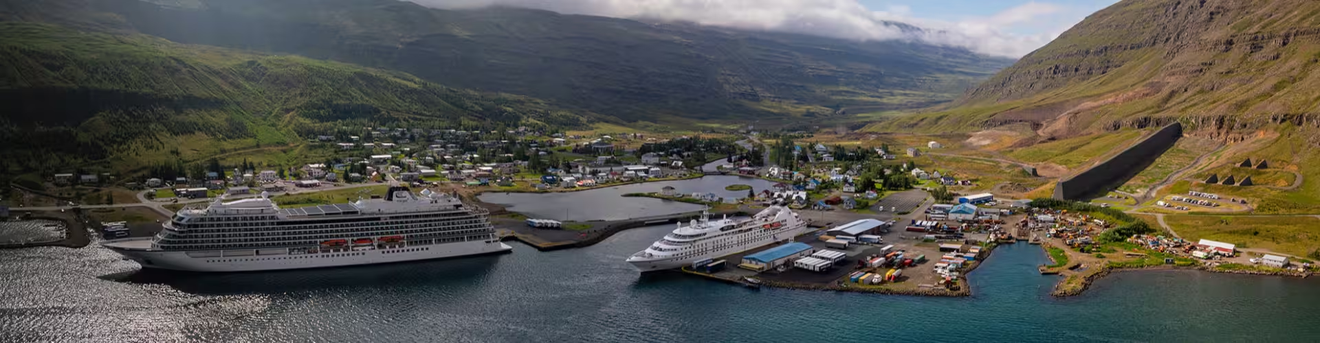
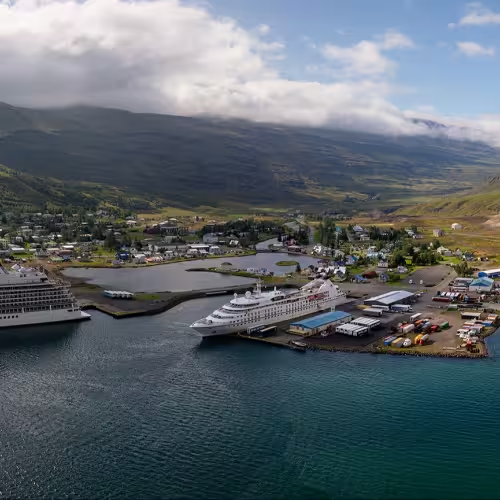
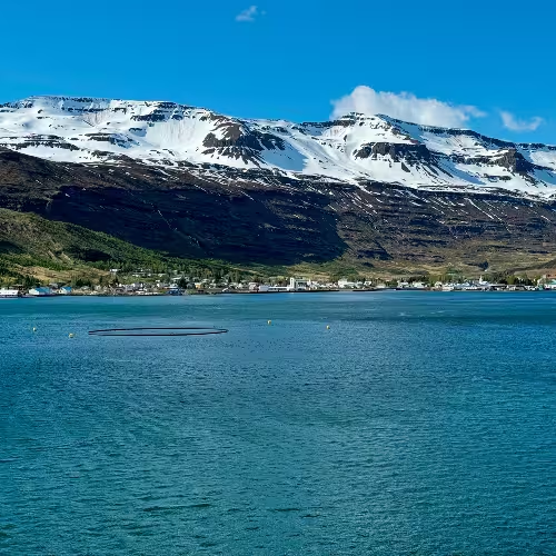
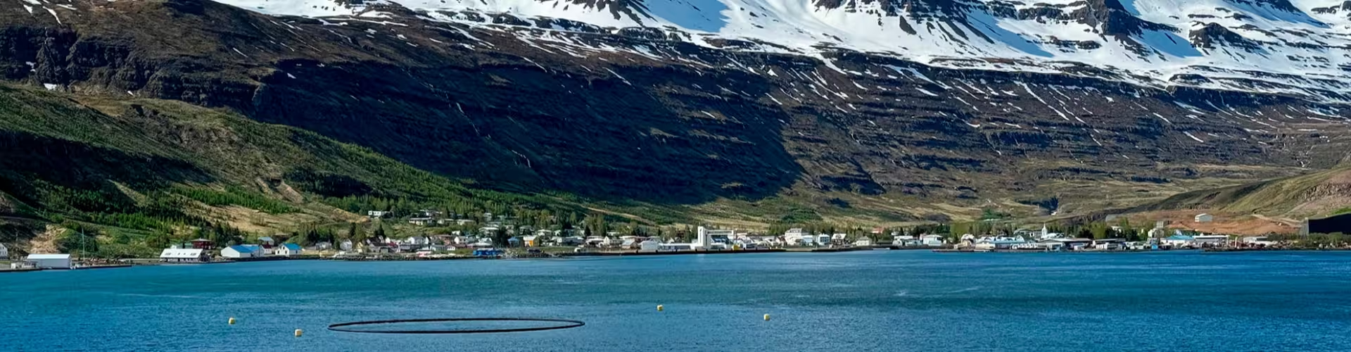
On the eastern side of Iceland, the Eastern Region has an indented coast of fjords known as the Eastfjords. Mountains, waterfalls and narrow fjords form a landscape dotted with small villages. The region extends across 15,706 square kilometres, and its population in 2024 was 11,085.
East Iceland tours
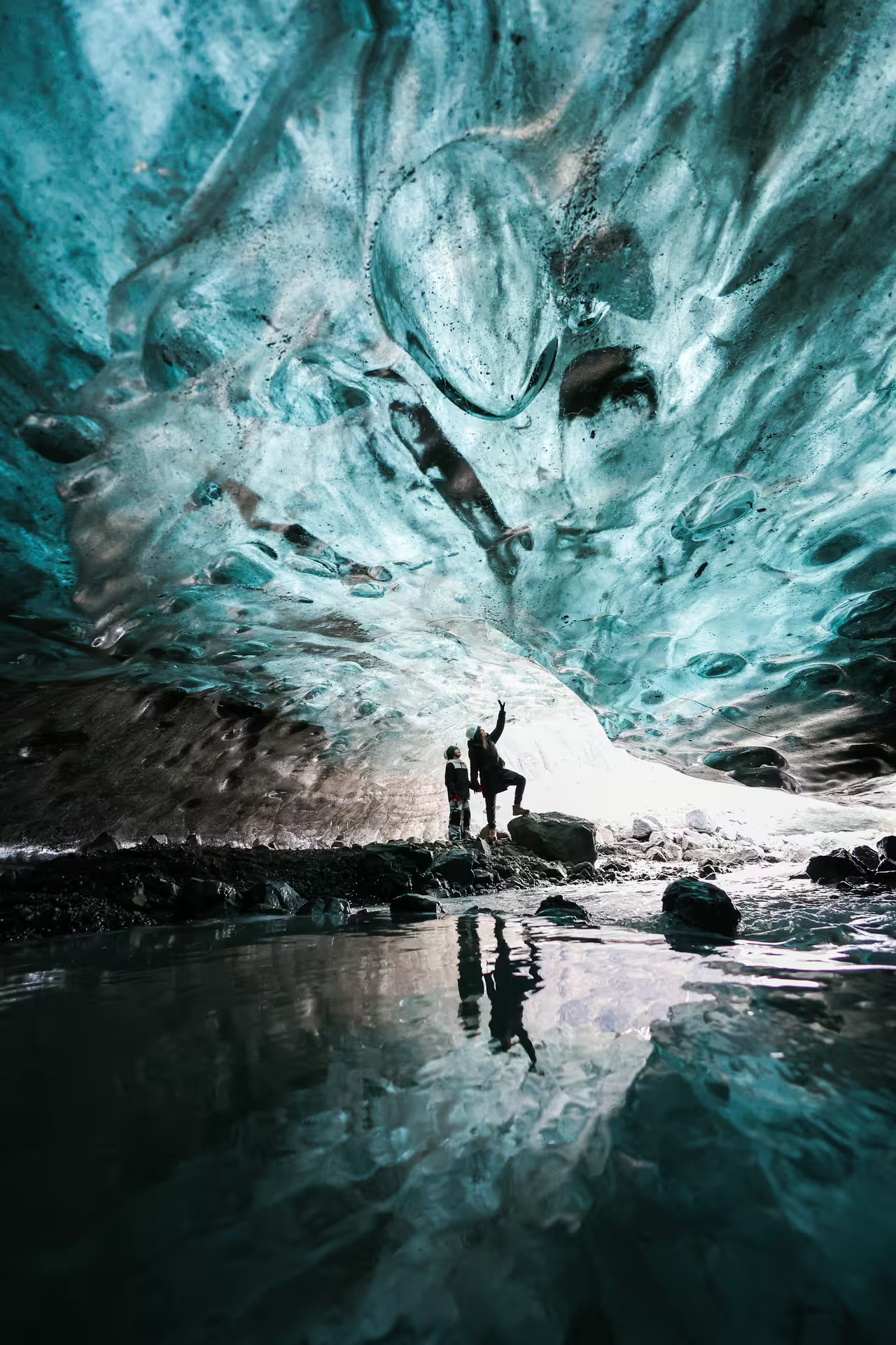
The private ice climbing experience in Skaftafell with a photo guide lasts 5 hours. It includes a certified professional private glacier guide, return transport by 4x4 vehicle to Falljokull Glacier, crampons, ice axes, harnesses, helmets, climbing instruction for all levels and five professionally edited photographs per person, delivered digitally through a cloud link.
The Laki craters helicopter tour from Skaftafell in Iceland lasts 1 hour and 15 minutes. Included are the helicopter flight, guidance and route commentary from the pilot, a highland landing near the Laki crater system and aerial views of the outlet glaciers of Vatnajokull.
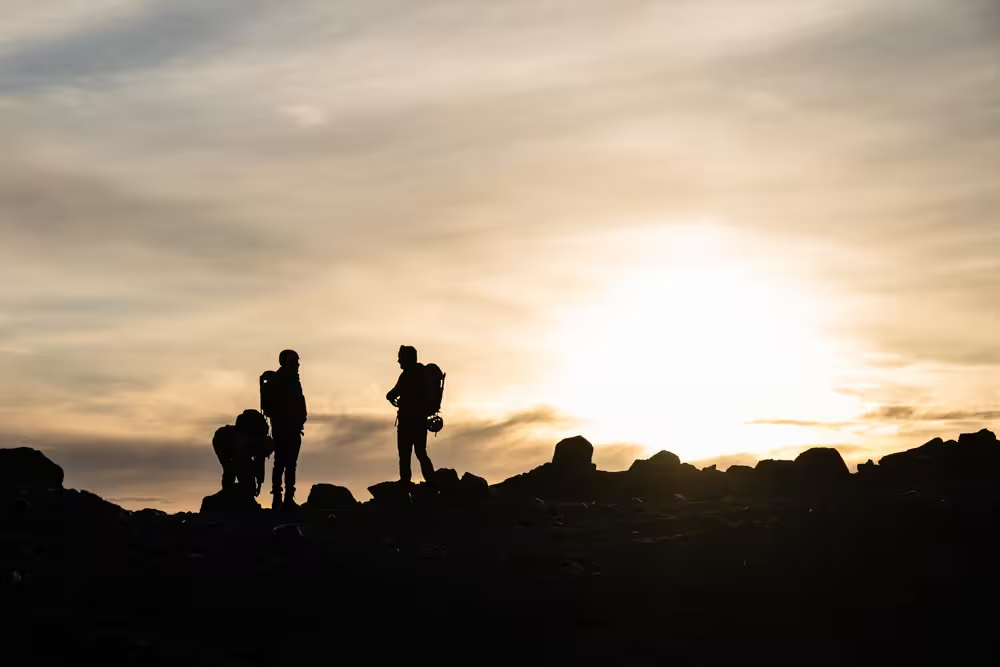
The private glacier hike on Falljokull with professional photos lasts 3 hours. It includes a certified private glacier guide throughout, crampons, a helmet, the required safety equipment, a professional photography session during the hike and five professionally edited photos delivered digitally through Google Drive.
East fjords: settlements and heritage
Seyðisfjörður lies at the head of its namesake fjord, with colourful cottages and studios used by artists. The settlement dates to 1848. In 1906, Seyðisfjörður was the landing place for the telegraph cable that first linked Iceland with Europe. Swiss artist Dieter Roth kept both a home and a working studio there. The Skaftfell Center serves visual art in eastern Iceland. In December 2020, several houses in Seyðisfjörður were destroyed when a succession of mudflows struck the settlement following days of heavy rainfall.
Djúpivogur received permission to trade in 1589. In Eskifjörður, a commercial building from 1816 houses the Maritime Museum of East Iceland. Street signs in Fáskrúðsfjörður use both French and Icelandic. The village also has a French cemetery containing 49 graves of fishermen from Belgium and France.
Fjarðabyggð was formed in 1998 by a merger of Eskifjörður, Neskaupstaður and Reyðarfjörður. Until a road over the Oddsskard pass opened in 1949, Neskaupstadur was reached mainly by sea. In Reyðarfjörður, the Fjarðaál aluminium smelter operated by Alcoa attained its full production capacity in April 2008.
Austurland: canyons, waterfalls and local stories
Stuðlagil, in the Jökuldalur valley of East Iceland, is a canyon formed of basalt columns. Another regional visitor destination is the Helgustaðir mine, associated with Iceland spar. At Hengifoss in Fljótsdalshreppur, the waterfall drops 128 metres. Thin bands of red clay separate the layers of basalt surrounding it.
Lagarfljót has depths reaching 112 metres. A local story places a serpent named Lagarfljótsormurinn beneath its waters. Egilsstaðir was founded in 1947 and has a population of 2,632. Borgarfjörður eystri, a fjord in eastern Iceland, has a large colony of puffins and attracts visitors for hiking.
Connections by road and sea
Near Egilsstaðir, the main regional roads converge by the bridge across Lagarfljót. The Öxi mountain road links Egilsstaðir with Djúpivogur. MS Norröna connects Hirtshals in Denmark with Seyðisfjörður, calling at Tórshavn in the Faroe Islands.
Frequently asked questions
What landscape characterises the Eastern Region of Iceland?
Small villages sit among mountains, waterfalls and narrow fjords.
Which tours include professional photos?
The private ice climbing experience in Skaftafell and the private glacier hike on Falljokull both include professionally edited photos.
Where is Stuðlagil?
The basalt column canyon is in the Jökuldalur valley in East Iceland.
What is the story associated with Lagarfljót?
Local legend places the serpent Lagarfljótsormurinn in its depths.
Which languages appear on street signs in Fáskrúðsfjörður?
The signs use Icelandic and French.