




Last updated:

Surabaya suits a trip that pairs city history with time around Mount Bromo. The capital of East Java sits on the northeast coast of Java, beside the Madura Strait. Its port mattered during the Majapahit era and continued to do so under Dutch colonial rule.
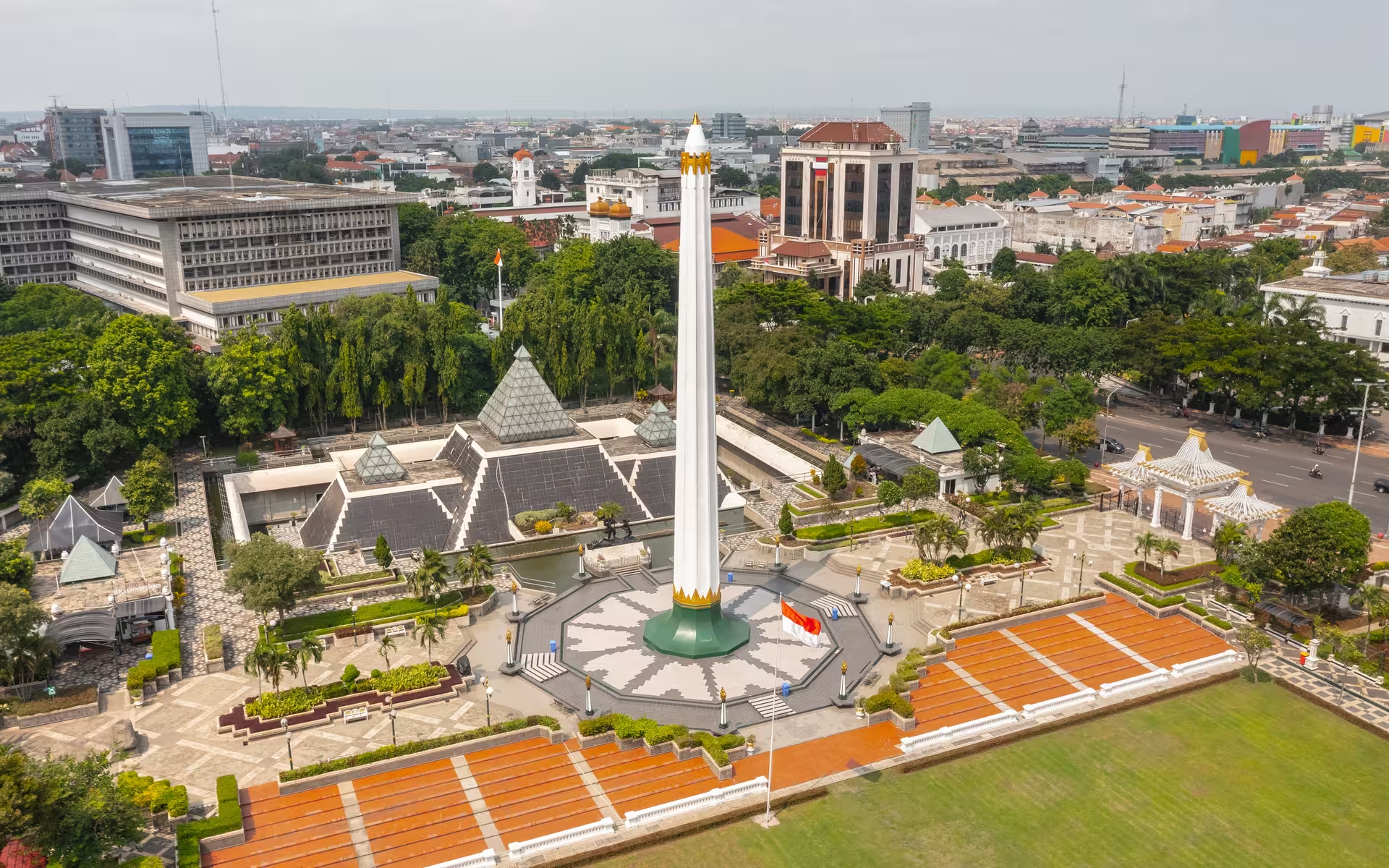
The Heroes Monument and House of Sampoerna give a history visit a clear focus. Downtown, the Heroes Monument remembers the Battle of Surabaya, fought in late 1945, whose main assault began on 10 November. That battle is commemorated nationally on 10 November as Hari Pahlawan, or Heroes' Day. The city also carries the name Kota Pahlawan, meaning City of Heroes.
For another period of history, House of Sampoerna preserves a Dutch colonial-style compound dating from 1862. It once housed a Dutch-managed orphanage before Liem Seeng Tee purchased it in 1932.
Two days would give you a city-focused plan: spend the first on the Heroes Monument and House of Sampoerna, then the second around Kenjeran Beach and its Suroboyo Bridge. The bridge stretches about 800 metres over the sea, giving the second day a coastal focus after the historical sites.
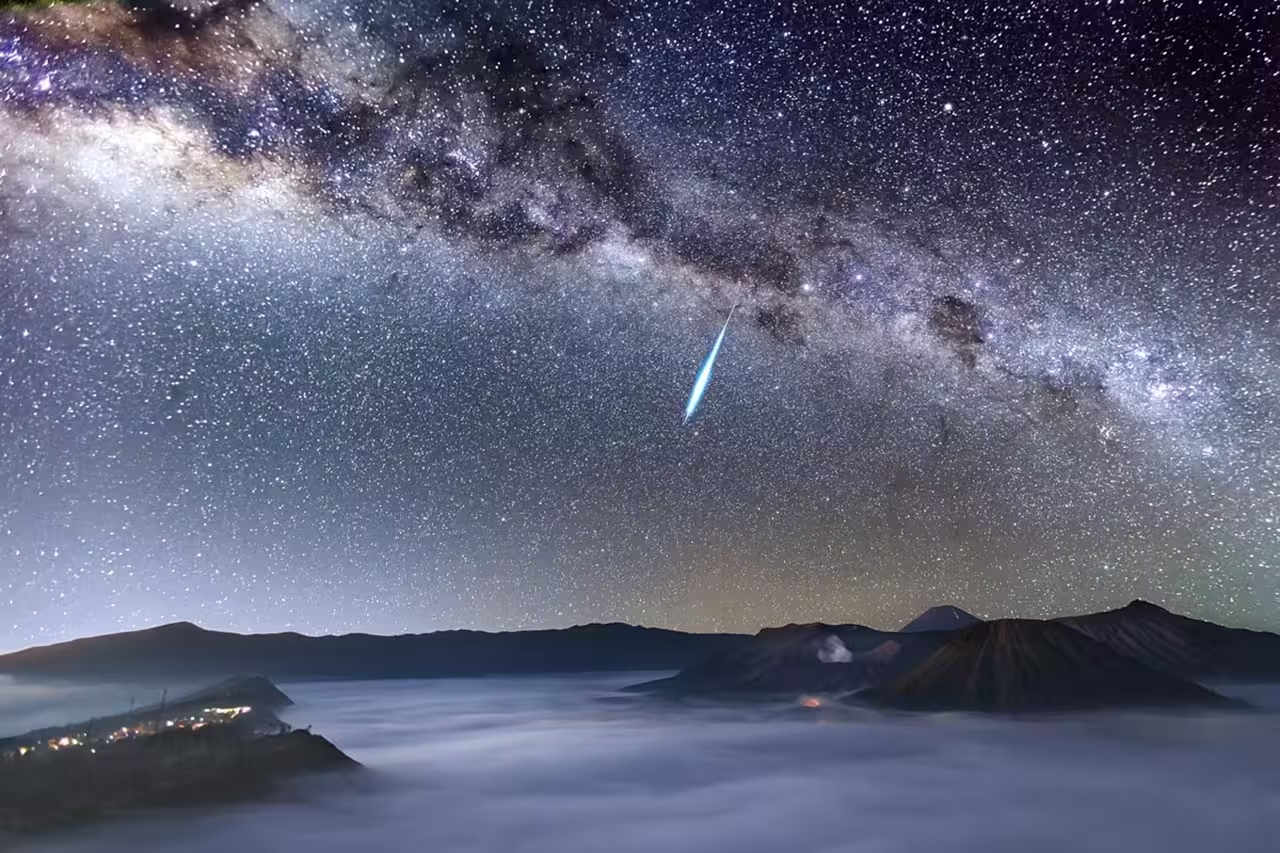
Mount Bromo needs separate time if you want both the city plan and a guided excursion. A private guided Mount Bromo tour for sunrise and the Milky Way lasts 1 day.
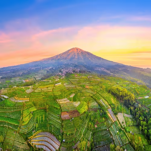
A one-day Bromo tour fits a day-trip plan; the two-day option leaves more of your itinerary devoted to Bromo. Bromo Tengger Semeru National Park lies south of Surabaya, and Mount Bromo rises to 2,329 metres amid the Sea of Sand.
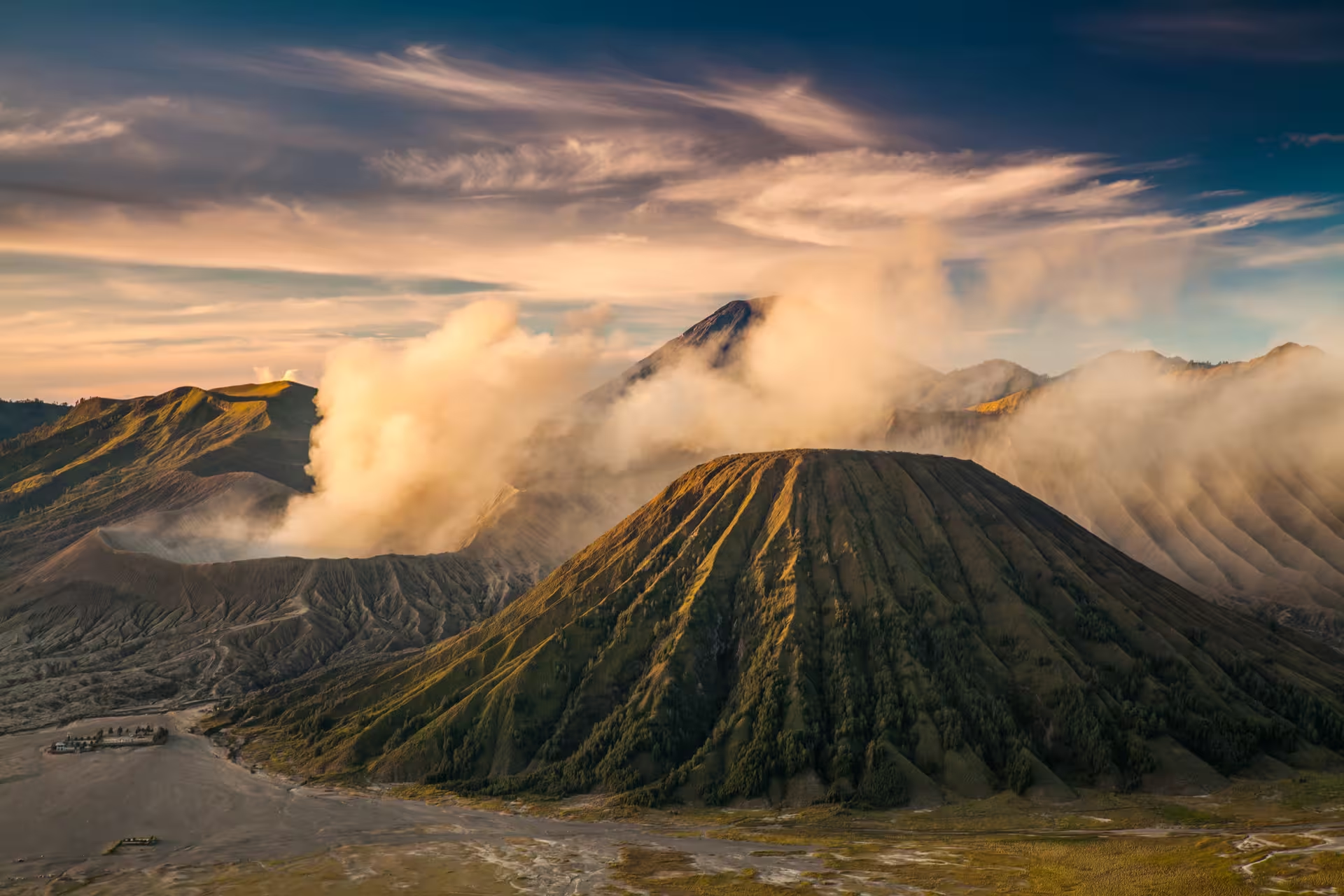
The two-day private Mount Bromo tour with Milky Way viewing, sunrise and a jeep ride includes an experienced private photographer guide and a guided Milky Way photography session. For a longer itinerary, the three-day private guided tour of Mount Bromo and Kawah Ijen includes an experienced private local guide throughout, breakfast on days 2 and 3, and a private Milky Way observation session.
Lontong balap is a useful starting point if you want a dish that originated in Surabaya. It brings together lontong, bean sprouts, fried tofu and lentho, accompanied by sambal petis and sweet soy sauce. For other local food choices, look for rawon, rujak cingur and semanggi, all associated with the city.
June to September suits a visit centred on outdoor sightseeing because these are the dry-season months. October to May falls in the wet season, so a walking-focused itinerary needs more flexibility then. The city averages daytime highs of about 32 °C and lows of about 24 °C, so dry-season plans still need to account for heat.
For rail travel, check the station name on your itinerary rather than treating Surabaya as a single stop. Its three major stations are Surabaya Kota, also called Semut, Surabaya Pasar Turi and Surabaya Gubeng. Juanda International Airport is in Sidoarjo, within Sedati District.
For an excursion towards southern Bangkalan Regency, Suramadu Bridge provides the connection from Surabaya on Java. The Madura Strait lies between Java and Madura.
Suramadu Bridge stretches for 5.4 kilometres.
You will find the port of Tanjung Perak in the northern part of Surabaya.
The Tengger Sand Sea lies at roughly 2,100 metres and spans 5,250 hectares.