State of Pará: tours, Belém and the Amazon
Pará shares its Brazilian boundaries with Amapá, Maranhão, Tocantins, Mato Grosso, Amazonas and Roraima. Guyana and Suriname border it to the northwest, while its northeastern edge faces the Atlantic. Its name derives from Tupi: the word means "sea" and can also describe large rivers.
Belém and its heritage
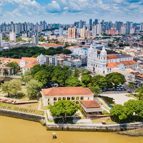
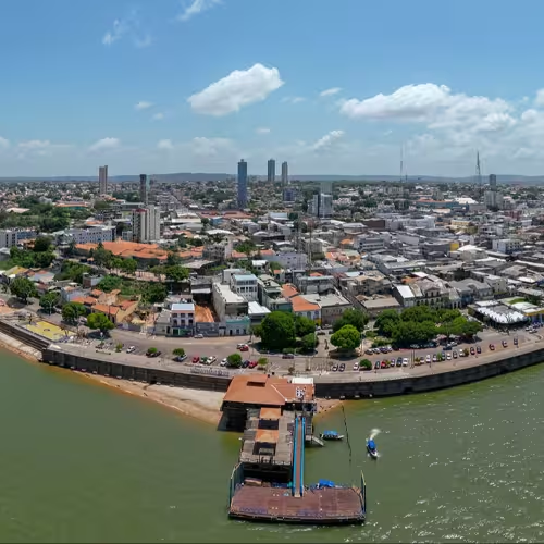
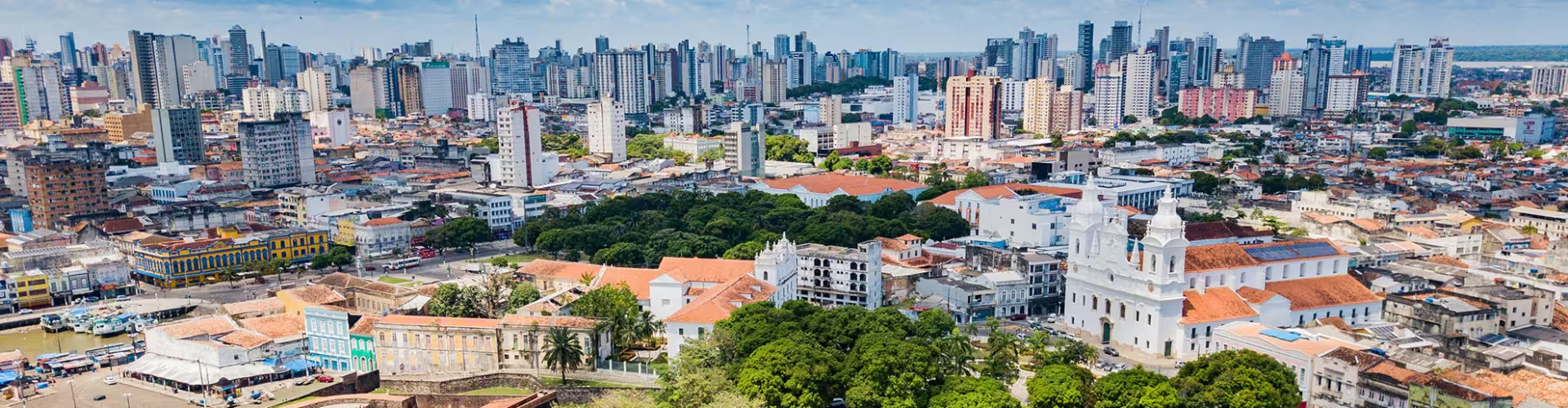
The capital, Belem, stands on Guajara Bay, near the Amazon estuary. The city is roughly 100 km upstream from the Atlantic. Islands, around 40 of them, make up about 65% of its territory. The Kingdom of Portugal established Belém in 1616.
The market in the old port dates to the 17th century. It occupies a site beside Guajará Bay in the Campina neighbourhood. Opened in 1901, the present building has twelve sides and covers 1,197 m². Its design reflects French art nouveau during the Belle Époque. Food, medicinal herbs and clothing are among the goods it supplies to the city.
Belém joined the gastronomy category of the UNESCO Creative Cities Network in 2015. Seafood, cocoa, pupunha and açaí are among its local food products. In 2019, 95% of Brazil's açaí production came from Pará.
The Círio de Nazaré festival is dedicated to Our Lady of Nazareth. A wooden representation of her travels from Sé Cathedral to Sanctuary Square during the celebration. The principal procession takes place on the second Sunday of October, and the celebrations continue for fifteen days afterwards. In 2013, the festival entered the Representative List of the Intangible Cultural Heritage of Humanity.
Amazon tours and rivers
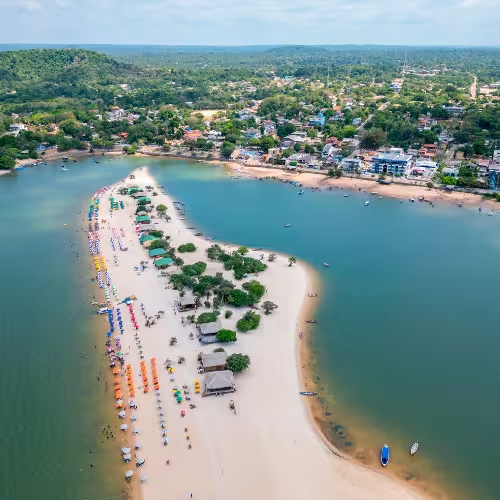
With its active port, airport and bus station, Belém serves as an entry point to the Amazon River. At Santarém, the Tapajós River meets the Amazon.
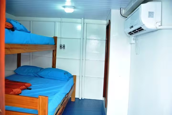
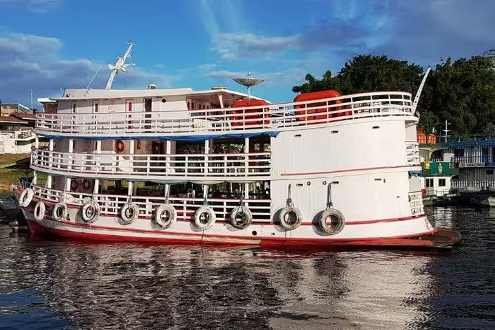
The guided boat tour along the Amazon from Manaus to Belém lasts 4 days. It includes passage by riverboat from Manaus to Belém, space for a hammock aboard and drinking water on the boat.
Within Pará, the Tapajós National Forest extends across Belterra, Aveiro, Rurópolis and Placas. A decree dated 19 February 1974 established the forest.
Marajó island and its tours
Just below the Equator, Marajó occupies part of the Amazon delta, with many rivers running across the island. Rainy season flooding covers much of its land. Marajoara culture flourished between about 400 and 1400 AD. Its pottery preserves a trace of that culture through its distinctive dimensions and decorative work.
The Marajó island tour from Belém with buffaloes and farms lasts 2 days. It includes return river transport between Belém and Marajó, a guided visit to a Marajoara buffalo farm and the Ninhal bird site, and a Soure city tour covering a tannery and fishing beach. Meals follow the programme, with breakfast and dinner included.
The guided tour to Barra Velha mangroves in Marajó Bay lasts 3 days. Included are return regional riverboat transport between Belém and Camara, a guided mangrove visit, a guided excursion to Salvaterra and Joanes, a traditional Marajoara buffalo and bird farm visit, and a Soure city tour including a tannery and fishing village.
Climate
Heat and high relative humidity occur throughout Pará. Typical daytime highs range from 30 to 34 °C, with lows near 22 °C throughout the year. Belém has a climate classified as tropical rainforest. Its wetter months extend from December to May, followed by six drier months.
Frequently asked questions
Where is Belém?
The capital, Belem, stands on Guajara Bay, near the Amazon estuary.
Which rivers meet at Santarém?
The Tapajós joins the Amazon at Santarém.
What does the Amazon boat tour include?
The tour from Manaus to Belém includes riverboat passage, hammock space and drinking water aboard.
Where is Marajó island?
Marajó lies just south of the Equator in the Amazon delta.
When is Belém wetter?
December through May forms the wetter season, with six drier months afterwards.