Auckland: tours, islands and volcanic landscapes
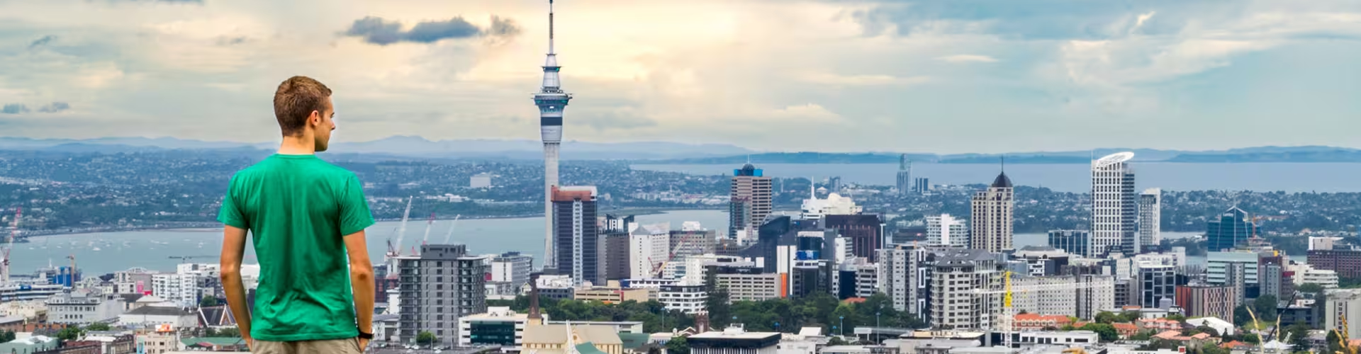
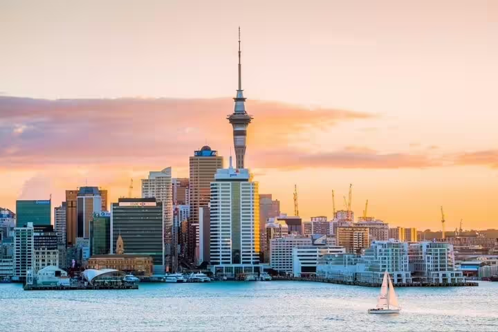
Tāmaki Makaurau is the Māori name for Auckland. The city lies on a narrow strip of land between Manukau Harbour, on the Tasman Sea, and Waitematā Harbour, on the Pacific Ocean.
Auckland tours
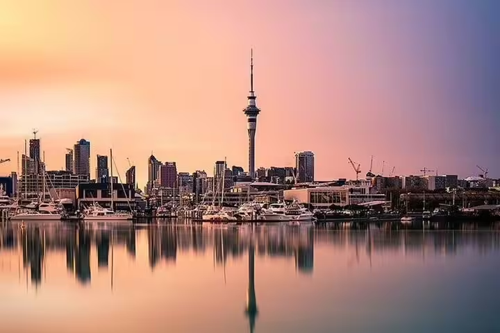
Auckland's volcanic field has about 53 volcanoes, including cones and craters; 14 of them are Tūpuna Maunga, ancestral mountains. The Sky Tower rises to 328 m and opened on 3 August 1997.
The Auckland walking tour with audio commentary is self guided and lasts 1 hour and 30 minutes, with 17 audio commentaries in the Navaway app, a walking route through the central business district and an interactive map for your device.
The guided Auckland city highlights tour for up to 9 people lasts 6 hours and 30 minutes and includes a licensed professional guide throughout, plus transport between the sites on the tour.
Auckland Harbour Bridge connects St Marys Bay on the city side to Northcote on the North Shore. Its length is 1,020 m. Governor General Lord Cobham officially opened the bridge on 30 May 1959.
Waiheke Island
Waiheke is an island in the Hauraki Gulf with an area of 92 square kilometres. The ferry terminal at Matiatia Bay on Waiheke is about 40 minutes by ferry from central Auckland.
The Hauraki Gulf
Marine park status was granted to the Hauraki Gulf in 2000. Rangitoto rose above the sea 600 years ago. Public passenger ferries and charters provide access to Rangitoto Island. Motutapu has a geological age of 178 million years. During the Second World War, the island sometimes served as a base for more than 1,000 military personnel.
Tiritiri Matangi lies north of Auckland, 4 km from the coast of the Whangaparāoa Peninsula. The island supports rare native birds, including kōkako and takahē. The Mokohīnau Islands are 100 km to the northeast of Auckland.
Volcanic cones and native forest
Maungawhau, also called Mount Eden, reaches 196 m. Its name means “mountain of the whau tree”. The crater in its southern cone measures 180 m across and 50 m in depth. Maungawhau was once a large Māori pā, a fortified settlement built for thousands of people. The crater was known as Te Kapua kai a Mataoho, meaning the food bowl of Mataoho, the deity associated with volcanic activity.
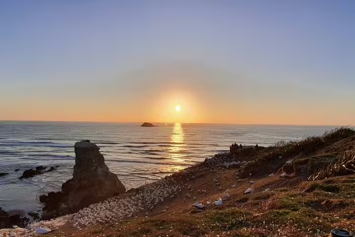
Lake Pupuke occupies a crater created by a volcanic explosion on the North Shore, near Takapuna. Native forest covers 16,000 hectares in the Waitākere Ranges. A colony of gannets occupies the cliffs at Muriwai.
History, museums and art
Māori settlement on the Auckland isthmus dates to around 1350. Auckland’s foundation was on 18 September 1840. Auckland became the colonial capital in 1841, when the governor moved there. Wellington took over as capital from Auckland in 1865.
Pukekawa is the Māori name of the hill on which Auckland War Memorial Museum stands. The museum’s official opening and consecration took place on 28 November 1929. Its rear extension, shaped as a semicircle, opened in 1960. Auckland Domain covers 75 hectares. Auckland Art Gallery dates from 1888.
The art and sculpture gardens day trip from Auckland lasts 7 hours and includes return transport to Sculptureum, admission to three sculpture gardens and six art galleries, and guided commentary during the journey.
Frequently asked questions
What is Auckland called in Māori?
Tāmaki Makaurau is the Māori name for Auckland.
How large is Waiheke Island?
Waiheke has an area of 92 square kilometres.
How is Rangitoto Island reached?
Public passenger ferries and charters provide access to Rangitoto Island.
Which rare birds live on Tiritiri Matangi?
The island supports rare native birds, including kōkako and takahē.
When did Auckland cease to be the capital?
Wellington took over as capital from Auckland in 1865.