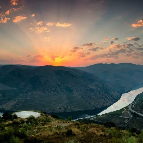
Peneda Gerês national park
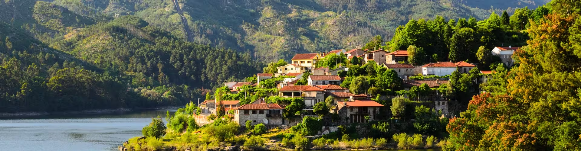
Established in May 1971, Peneda Gerês National Park occupies about 696 square kilometres. Its territory runs from the Serra da Peneda to the Serra do Gerês and also includes the Serra do Soajo and Serra Amarela. The park takes its name from the Serra da Peneda and the Serra do Gerês.
The park extends across five municipalities: Melgaço, Arcos de Valdevez, Ponte da Barca, Terras de Bouro and Montalegre. The Lima, Cávado and Homem rivers run through or along the park. Garranos, also known as Minho horses, are a small horse landrace found here.
Peneda Gerês joined the Natura 2000 network in 1997. The park belongs to the Gerês Xurés UNESCO biosphere reserve. UNESCO declared this reserve on 27 May 2009. It covers about 259,000 hectares across northern Portugal and Galicia in Spain.
Things to do in Gerês
Built as a concrete arch across the Cávado River, the Caniçada Dam was finished and put into operation in 1955.
Traditional granite granaries known as espigueiros stand in both Soajo and Lindoso. The group at Soajo comprises 24 granite granaries with property of public interest status. Soajo belongs to the municipality of Arcos de Valdevez. Another local tradition involved living in highland settlements called brandas for much of the year, roughly from spring to late autumn, and moving down to winter villages in the coldest months.
Lindoso Castle is in Lindoso parish within the municipality of Ponte da Barca. From its position on the Serra Amarela above the Lima’s left bank, it looks towards Spain. The castle was built from its foundations during Afonso III’s reign. Reinforcement and expansion followed under King Dinis from 1278. Its classification as a National Monument dates to 1910.
The Geira, a Roman road linking Braga with Astorga, passed through the territory now occupied by the park. Along the Homem River, lengthy sections of that road survive. The region also contains dolmens and other megalithic tombs, with examples near Castro Laboreiro.
Vilarinho da Furna belongs to Campo do Gerês parish in the municipality of Terras de Bouro. The village was intentionally flooded as the reservoir bearing its name filled. Its final resident departed in 1971, and submersion followed the next year. The village ruins can be seen only when the reservoir level drops, usually in drought years.
Peneda Gerês tours
The full day guided tour of Peneda Gerês National Park lasts 10 hours and includes return 4x4 transport from Porto, a guided park visit, a traditional restaurant lunch with vinho verde, a cultural village visit and participation in a reforestation activity.
The private Peneda Gerês National Park tour from Porto lasts 10 hours and includes a licensed professional guide throughout the day, DOP beef for lunch with regional wine, a guided waterfall hike with a swimming stop and a visit to Fafião village with community access arranged by the guide.
The guided tour of Peneda Gerês National Park in Portugal lasts 9 hours and 30 minutes and includes transport by vehicle throughout the day, a licensed local guide familiar with the park, a picnic lunch when weather permits or a restaurant meal, and park entry.
Frequently asked questions
When was Peneda Gerês National Park established?
The park was established in May 1971.
Which rivers cross the park?
The Lima, Cávado and Homem rivers run through or along the park.
What are the espigueiros of Soajo?
They are 24 granite granaries with property of public interest status.
What was the Geira?
The Geira was a Roman road linking Braga and Astorga through the territory now occupied by the park.
When are the ruins of Vilarinho da Furna visible?
The village ruins can be seen only when the reservoir level drops, usually in drought years.