Hvolsvöllur in Iceland: what to see and do
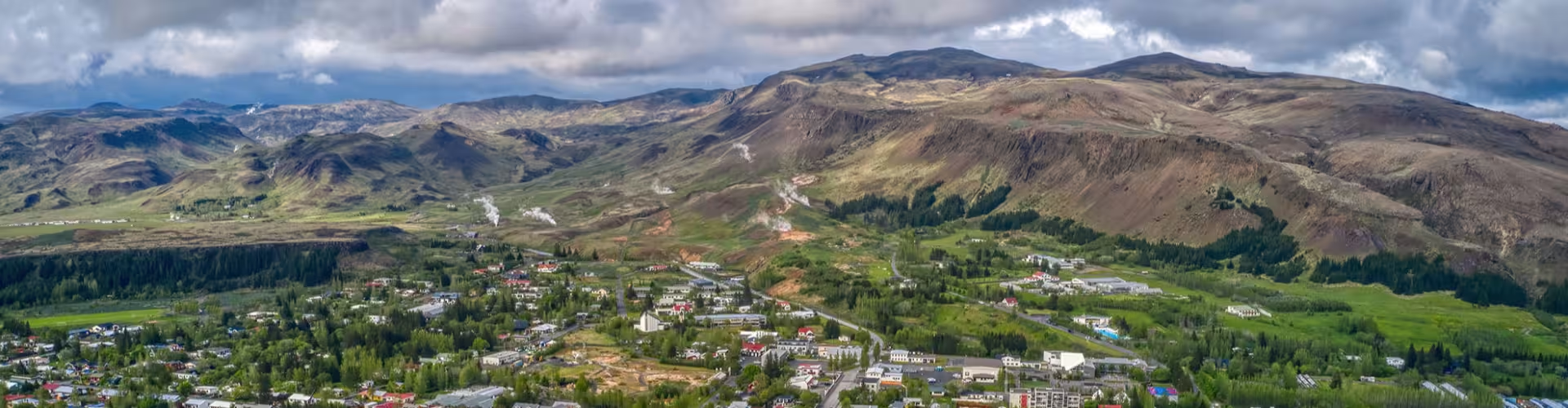
In southern Iceland, Hvolsvöllur lies roughly 106 km to the east of Reykjavík. Route 1, also called the Ring Road, runs through the town. Its surrounding countryside provides the setting for Njáls saga, while the LAVA Centre explores the story of Iceland’s volcanoes and geology.
South Iceland tours
The Midgard Surprise guided day tour lasts 7 hours. It includes a professional local guide throughout, transport in an appropriate vehicle and a route chosen by experts to suit the conditions. Access to remote highland destinations and viewpoints over glaciers and volcanic landscapes are also included.
In southern Iceland, Þórsmörk sits between Tindfjallajökull and Eyjafjallajökull glaciers. The private Super Jeep tour to Thorsmork from Hvolsvollur takes 7 hours. Included are private Super Jeep transport from Hvolsvöllur, a professional guide throughout, river crossings and highland access by Super Jeep, entry to the Þórsmörk nature reserve area and a stop at Seljalandsfoss waterfall.
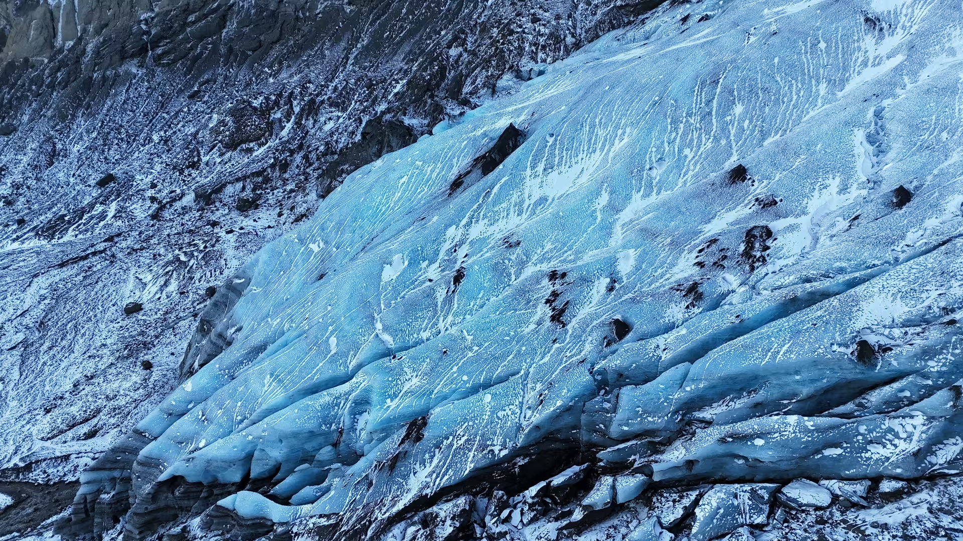
An ice cap entirely covers the volcano Eyjafjallajökull. The guided Super Jeep tour on Eyjafjallajokull glacier in Iceland lasts 5 hours. It includes an expert guide throughout, transport in a 4x4 Super Jeep, a glacier walk and stops at panoramic viewpoints.
The town and Njáls saga
Settlement at Hvolsvöllur dates to 2 September 1933. An older farm gave the town its name. A 45 m telecommunications tower, moved to the town centre in 1976, stands in Hvolsvöllur.
Njáls saga takes its name from Njáll Þorgeirsson, a chieftain from Bergþórshvoll in the Landeyjar district. Set between 950 and 1020, the story brings together love, destiny, conflict and revenge. Its narrative follows blood feuds during the Icelandic Commonwealth. The saga was written in the late 13th century.
In Hvolsvöllur, Njáls saga is the main subject of the Saga Centre. Its exhibitions cover the saga, and a tapestry measuring 90 m illustrates episodes from the story.
Volcanoes at the LAVA Centre
The LAVA Centre presents an interactive exhibition about volcanoes in Hvolsvöllur on Iceland’s south coast. Visitors can observe how geophysical monitoring tracks active volcanic systems, earthquakes and movements of the ground surface. Eyjafjallajökull’s ice cap has been shrinking (about 66 km² in 2019). The volcano’s 2010 eruption started on 20 March.
Waterfalls and rivers
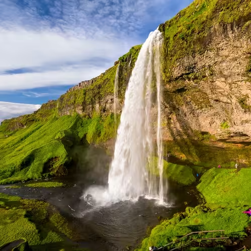
At Seljalandsfoss, the water falls through a height of 60 m. The waterfall belongs to the Seljalands River, whose waters originate in Eyjafjallajökull glacier. A small cave behind the falling water can be reached on foot. Elsewhere in southern Iceland, Skógafoss falls on the Skógá River and measures about 25 m across.
East of Hvolsvöllur and north of the Markarfljót river lies Fljótshlíð. The Markarfljót extends for around 100 km.
Roads and the harbour
The Ring Road runs for about 1,320 km. Landeyjahöfn harbour is roughly 30 km south of Hvolsvöllur. The harbour opened on 20 July 2010. The crossing by ferry between Landeyjahöfn and Vestmannaeyjar takes about 35 minutes.
The climate
Summers in Hvolsvöllur are cool and winters are cold, though conditions are relatively mild given the town’s high latitude.
Frequently asked questions
Where is Hvolsvöllur?
The town lies in southern Iceland, roughly 106 km east of Reykjavík.
Which road runs through Hvolsvöllur?
The town is on Route 1, the Ring Road.
What does the LAVA Centre exhibition cover?
The interactive volcano exhibition includes monitoring of active volcanic systems, earthquakes and ground surface movements.
What is on display at the Saga Centre?
The exhibitions focus on Njáls saga, with a tapestry measuring 90 m that illustrates scenes from the story.
How long is the private Super Jeep tour to Thorsmork?
The private Super Jeep tour to Thorsmork from Hvolsvollur lasts 7 hours.