Reykjanes: volcanoes, Gunnuhver and the geopark
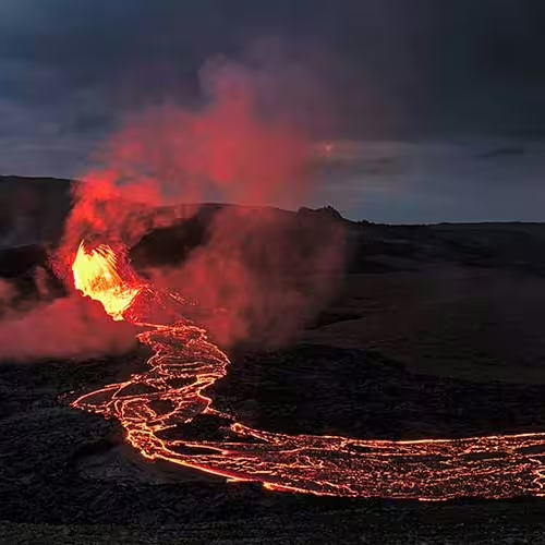
Volcanic processes created the whole of the Reykjanes Peninsula. The peninsula forms part of a ridge that runs around the Earth for 65,000 km through the oceans.
Reykjanes peninsula tours
The Reykjavik guided volcano hike on the Reykjanes Peninsula lasts 9 hours and includes a professional local guide throughout, vehicle transport and visits to the geothermal and coastal sites listed for the tour.
The guided day trip to the lava fields of the Reykjanes Peninsula lasts 8 hours, with a professional guide speaking English, vehicle transport, access to the listed stops and guided explanations at each site included.
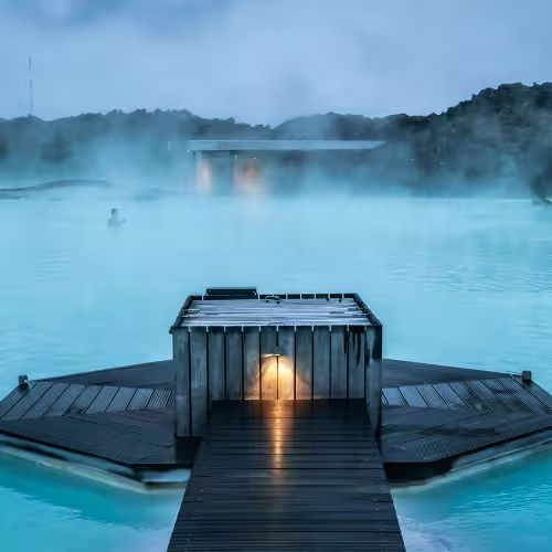
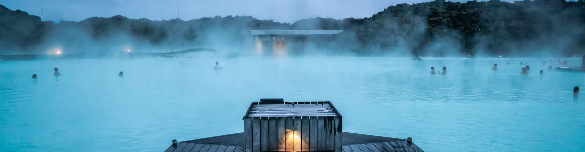
The private day trip to the Reykjanes Peninsula and Blue Lagoon lasts 8 hours and includes a licensed local guide throughout, private vehicle transport, visits to the listed peninsula geosites and Blue Lagoon Comfort admission with a silica mask, towel and one drink in the water.
Gunnuhver
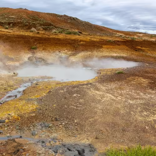
Gunnuhver lies in the far southwest of the peninsula and has active geothermal features. Its boiling mud pool measures 20 m across its muddy rim. The groundwater at Gunnuhver is mostly seawater. Paths and viewing platforms organise access around the active vents and pools of mud. According to a local folk tale, the spring is haunted by the ghost of a woman named Gunna.
Reykjanes geopark
Reykjanes received UNESCO Global Geopark recognition in 2015. In September of that year, it joined the European Geoparks Network as member number 66. The geopark lists a total of 55 geosites. Around 90% of the oceanic ridge mountain range lies far beneath the sea surface.
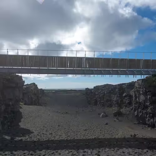
Completed in 2002, the Bridge Between Continents symbolises the link between Europe and North America. The Eurasian and North American plates drift apart by about 2 cm a year on average.
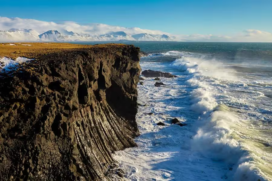
The private Reykjanes Peninsula tour with volcanoes and a UNESCO site lasts 7 hours, including a professional local guide, all tour transport, visits to geothermal areas and the UNESCO site, and stops at coastal cliffs and a lighthouse.
Lakes and geothermal sites
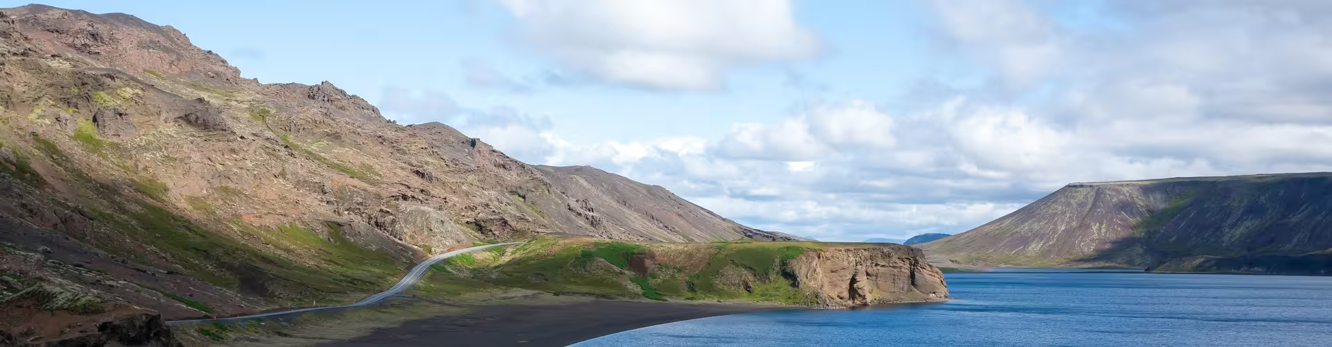
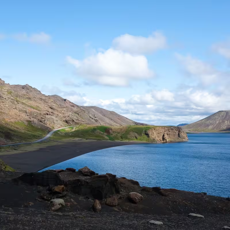
Lake Kleifarvatn reaches a depth of approximately 97 m and covers roughly 8 to 10 square kilometres. Underground water supplies the lake, with no inflow from streams or rivers. After the earthquakes of 2000 a fissure drained part of the lake, which has since returned to its earlier level. At Seltún, geothermal features include pools of mud, fumaroles releasing steam and springs of hot water. The small volcano Eldborg beside Geitahlíð stands 50 m high, with a crater 30 m deep. Afstapahraun is a flow of lava near the main road serving Keflavík International Airport.
Coast and heritage
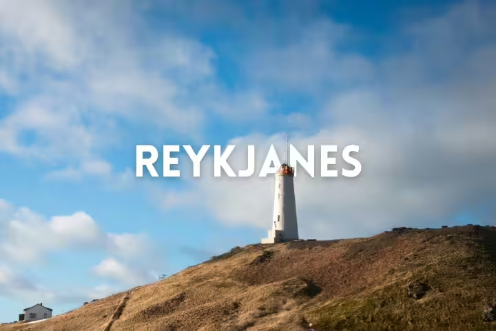
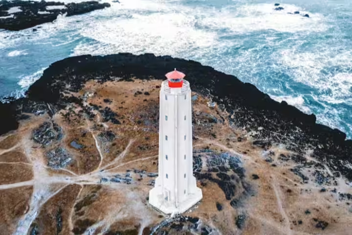
At Brimketill, seawater erosion carved a rounded hollow into the rock. An earlier name for the pond was Oddnýjarlaug. Folk tales describe a giantess called Oddný as a regular occupant of the pond. In 1878, Iceland's first lighthouse was constructed on Valahnúkur in Reykjanes. Earthquakes in 1887 and the pounding surf damaged the hill, and the old lighthouse was replaced in 1908 by the present one on Bæjarfell. Birds recorded near the Reykjanes lighthouse include puffins, gannets, guillemots, fulmars and kittiwakes. At Viking World, the museum exhibits a replica of the Gokstad Viking longship capable of sailing at sea.
What does the guided volcano hike include?
The 9 hour hike includes a professional local guide, vehicle transport and visits to the listed geothermal and coastal sites.
What is Gunnuhver's groundwater made of?
The groundwater at Gunnuhver is mostly seawater.
When did Reykjanes gain UNESCO Global Geopark recognition?
The recognition dates to 2015.
What supplies Lake Kleifarvatn with water?
Its water comes from underground rather than from rivers or streams.
What does the Bridge Between Continents represent?
The bridge represents the connection between Europe and North America and was completed in 2002.
Frequently asked questions