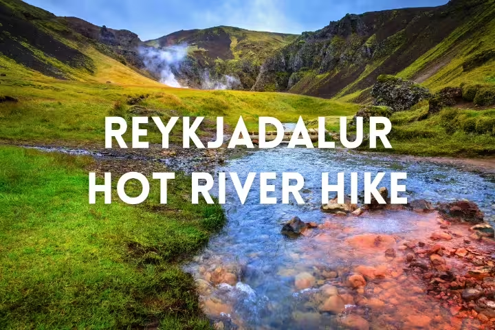
Reykjadalur: hot spring river and hike
In southern Iceland, Reykjadalur occupies a valley at the base of the Hengill volcanic mountain range. Its name translates into English as Steam Valley. The valley is directly above Hveragerði, where the town stands on a geothermal field that remains active.
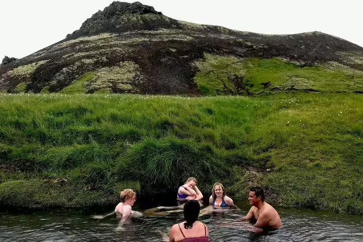
Reykjadalur hot spring river
Geothermal heat and hot springs are features of the valley. Water from springs in the hills around Reykjadalur flows into its river. Bathing in the warm river is a popular activity here. The water is usually around 35 to 40 °C, cooler in winter and warmer upstream. The water becomes warmer in the upstream direction and cooler farther downstream. Some of the surrounding hot springs have temperatures of 80 to 100 °C.
The private Reykjadalur hot springs tour from Reykjavík lasts 5 hours. It includes a private guide for the whole tour, return transport from Reykjavík, a guided walk through Reykjadalur valley, access to the natural hot river, and commentary on geology and culture throughout.
Reykjadalur hike
The walk is about 3 to 3.5 km each way. Along the Reykjadalur trail are hot spring vents releasing steam, mud pots that bubble, and a waterfall named Djúpagilsfoss. The wider Hengill area also has many walking trails among mountains and hot springs.
Hveragerði below the valley
Hveragerði is both a town and a municipality in southern Iceland. It stands on Route 1, 45 km to the east of Reykjavík. A geothermal area occupies a central position within the town. The Varmá river passes through Hveragerði. The town is known for greenhouses whose heat comes from water supplied by volcanic hot springs.
The surrounding Hveragerði area belongs to the Hengill central volcano. Geothermal activity occurs here alongside very frequent earthquakes, which are usually minor. On 29 May 2008, an earthquake caused injuries and damaged many buildings both in Hveragerði and in the surrounding area.
Hengill and geothermal energy
Hengill is a volcanic mountain in southwestern Iceland, to the south of Þingvellir. Its many hot springs and fumaroles provide evidence of continuing volcanic activity. The mountain belongs to the Hengill volcanic system, which extends for some 60 km or more. The geothermal field of this system is an important source of energy for southern Iceland. Hellisheiði Power Station stands in Hengill, at a distance of 11 km from Nesjavellir Geothermal Power Station. Across Iceland, geothermal energy heats about 90% of homes.
South coast waterfalls and glaciers
The private day tour of Iceland’s South Coast waterfalls and glaciers lasts 10 hours. It includes a private guided tour with a knowledgeable local guide and transport in a comfortable private vehicle. Also included are stops at waterfalls, black sand beaches and glacier viewpoints, with commentary on glacial retreat focused on sustainability.
Frequently asked questions
What does Reykjadalur mean?
The English meaning of Reykjadalur is Steam Valley.
What feeds the warm river in Reykjadalur?
The river receives water from hot springs in the surrounding hills. Geothermal activity and hot springs are present in the valley.
What is the temperature of the bathing river?
The water is usually around 35 to 40 °C, cooler in winter and warmer upstream. Some surrounding hot springs reach temperatures of 80 to 100 °C.
How far is the Reykjadalur hike?
The walk to the river is about 3 to 3.5 km each way, passing steaming hot spring vents, bubbling mud pots and Djúpagilsfoss waterfall.
Where is Reykjadalur?
The valley is above Hveragerði in southern Iceland, at the base of the Hengill volcanic mountain range. The town of Hveragerði is on Route 1, 45 km east of Reykjavík.