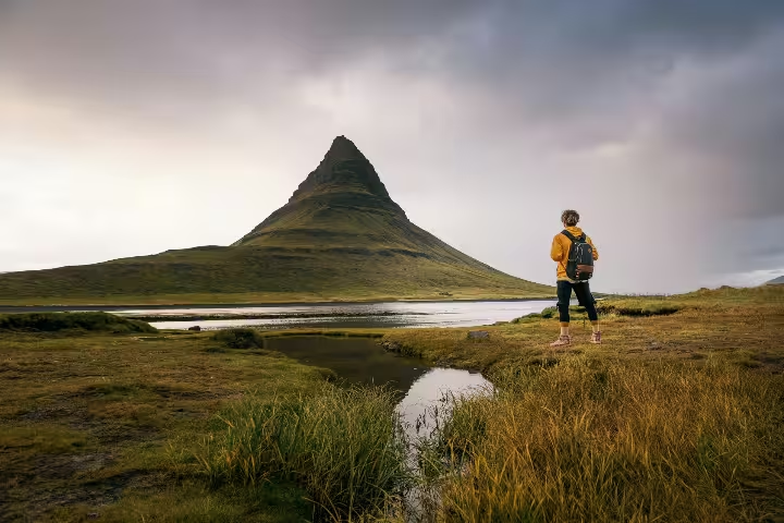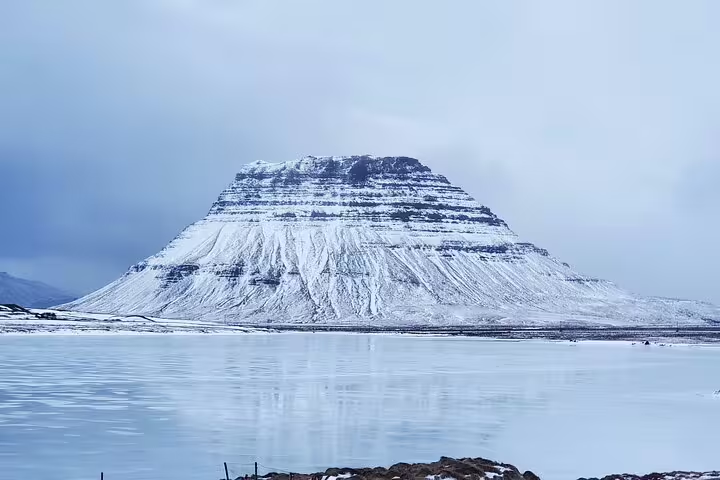




Mapping the Mysteries of Sandfellsjökull Glacier
Trek a rarely visited glacier outlet, collect real scientific data, and leave Iceland with a certified contribution to climate research.
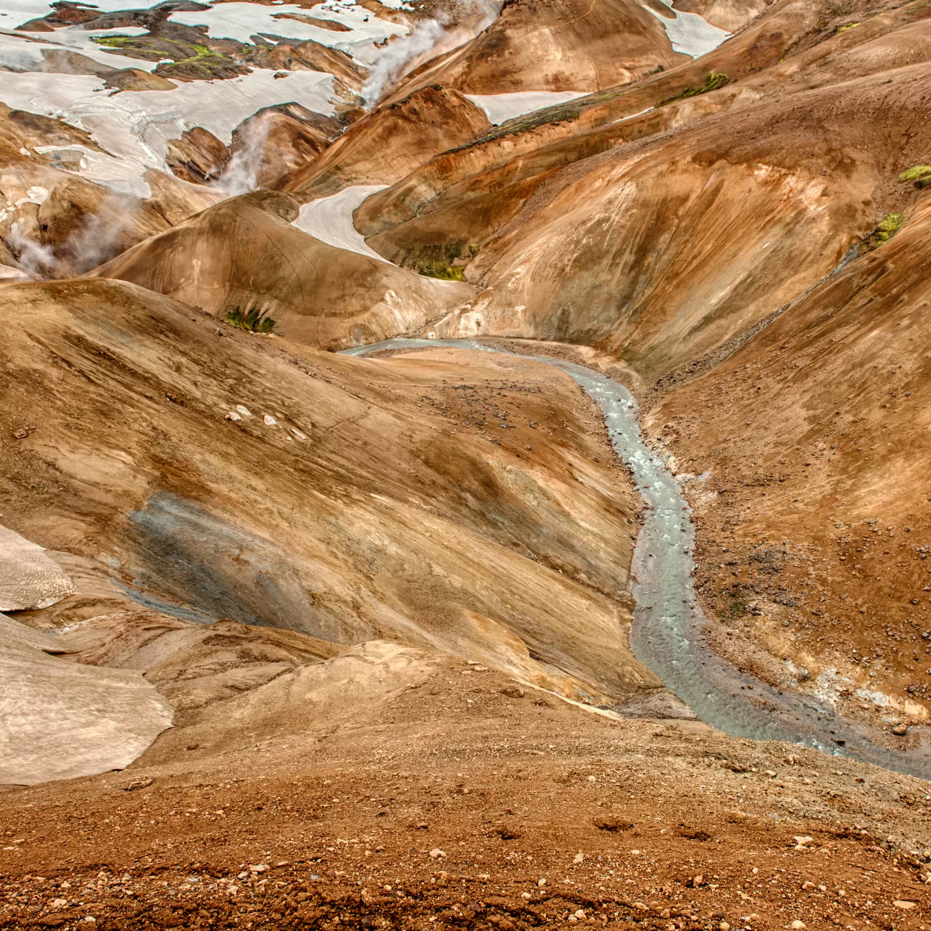
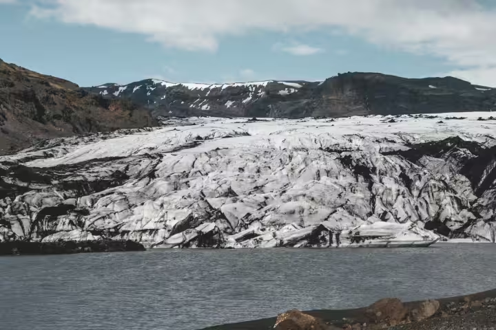
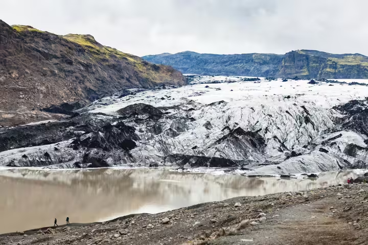
This full-day, moderate-difficulty expedition begins with a rugged 4x4 drive into the Icelandic Highlands, followed by a 1.5-kilometer one-way hike across terrain shaped by geological flutes and iron-fed waterfalls. The journey brings participants face-to-face with a dynamic outlet glacier that has only recently come under scientific observation.
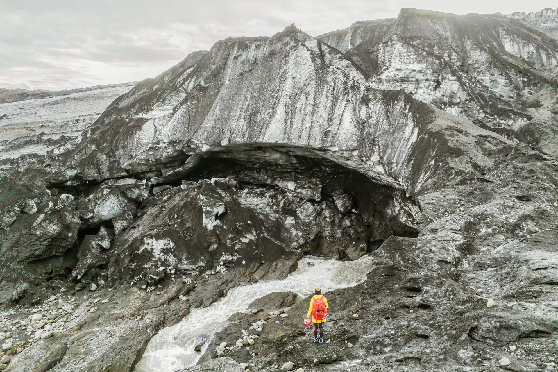
Throughout the day, participants explore ice formations including crevasses and naturally carved caves, monitor water flow from glacial rivers, and contribute mapping data to ongoing studies on glacial dynamics and climate change. The experience bridges adventure travel and hands-on science in equal measure.
At the end of the expedition, every participant receives a formal certificate of Citizen Scientist participation from Katla Geopark. Weeks after the adventure concludes, a processed report of the Sandfellsjökull mapping findings is shared with the group, giving the experience a tangible and lasting scientific value.
Tour Highlights
Explore a rarely visited glacier outlet in the heart of the Icelandic Highlands, largely unmonitored until recent years.
Participate in active glacier mapping and water flow monitoring alongside a certified Katla Geopark expert.
Access remote highland terrain via a thrilling 4x4 drive before setting out on foot across rugged glacial landscape.
Receive an official Citizen Scientist certificate from Katla Geopark upon completing the expedition.
Receive a formal scientific report based on your field data, shared by Katla Geopark staff weeks after the tour.
Discover ice caves, crevasses, and unique glacial formations sculpted by centuries of natural forces.
Gain geological insight from expert guides on the forces that have shaped the Sandfellsjökull area over millennia.
Itinerary
The expedition begins with a 4x4 vehicle journey into the Icelandic Highlands, covering remote terrain inaccessible by conventional transport. This drive sets the tone for the day and provides early views of Iceland's vast interior landscape.
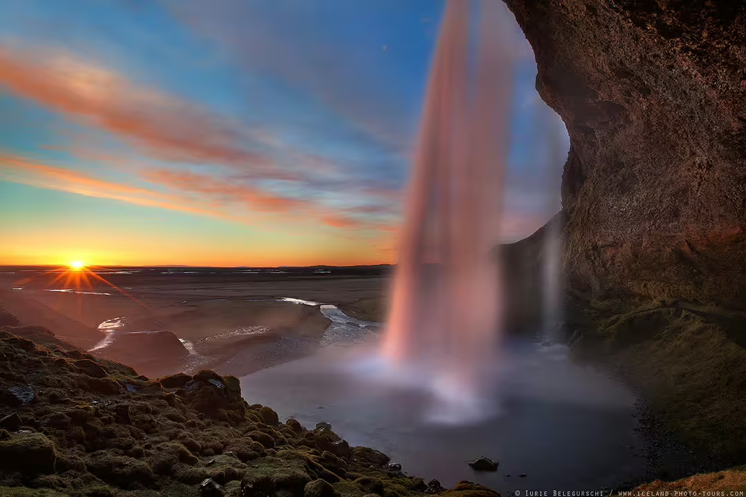
A 1.5-kilometer one-way hike leads participants through geological flutes and past iron-fed waterfall rivers toward the Sandfellsjökull outlet. The trail offers a close look at the raw, unfiltered terrain that characterizes this part of the Highlands.
On arrival at the glacier, participants explore crevasses, natural ice caves, and other formations shaped by ongoing glacial activity. An expert guide provides geological context and explains the forces driving the glacier's current changes.
Working alongside a Katla Geopark specialist, participants map the glacier's outlet and record measurements of water flow from glacial rivers. This data feeds directly into active research on glacial dynamics and climate change.
A midday break allows participants to enjoy a packed lunch with panoramic views of the glacier and the surrounding Icelandic Highlands. The setting offers a moment of quiet reflection in one of Iceland's most isolated environments.
After the field work concludes, the group returns via the 4x4 route. Participants receive their official Citizen Scientist certificate from Katla Geopark, with a data report to follow by post in the weeks ahead.
What Is Included
Included
- 4x4 highland transportation
- Expert Katla Geopark guide
- Citizen Scientist certificate
- Post-expedition scientific mapping report
- Packed lunch
- All glacier mapping equipment
Not Included
- Personal travel insurance
- Gratuities for guides
- Personal hiking or cold-weather gear
- Accommodation before or after the tour
Important Information
Ready to Map Sandfellsjökull?
Secure your place on this one-of-a-kind glacier science expedition and return home with a certified scientific contribution to Iceland's ongoing climate research.
Book Now