Pico Ruivo stands as Madeira's highest peak, rising 1,861 meters above sea level in Portugal's Atlantic archipelago. This iconic mountain dominates the island's skyline and offers visitors one of Europe's most dramatic high-altitude experiences. The summit provides panoramic views across Madeira and neighboring islands on clear days.
What to see in Pico Ruivo
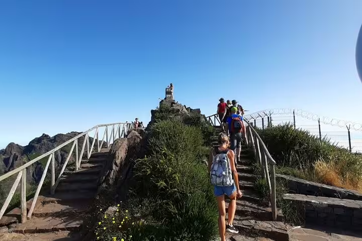
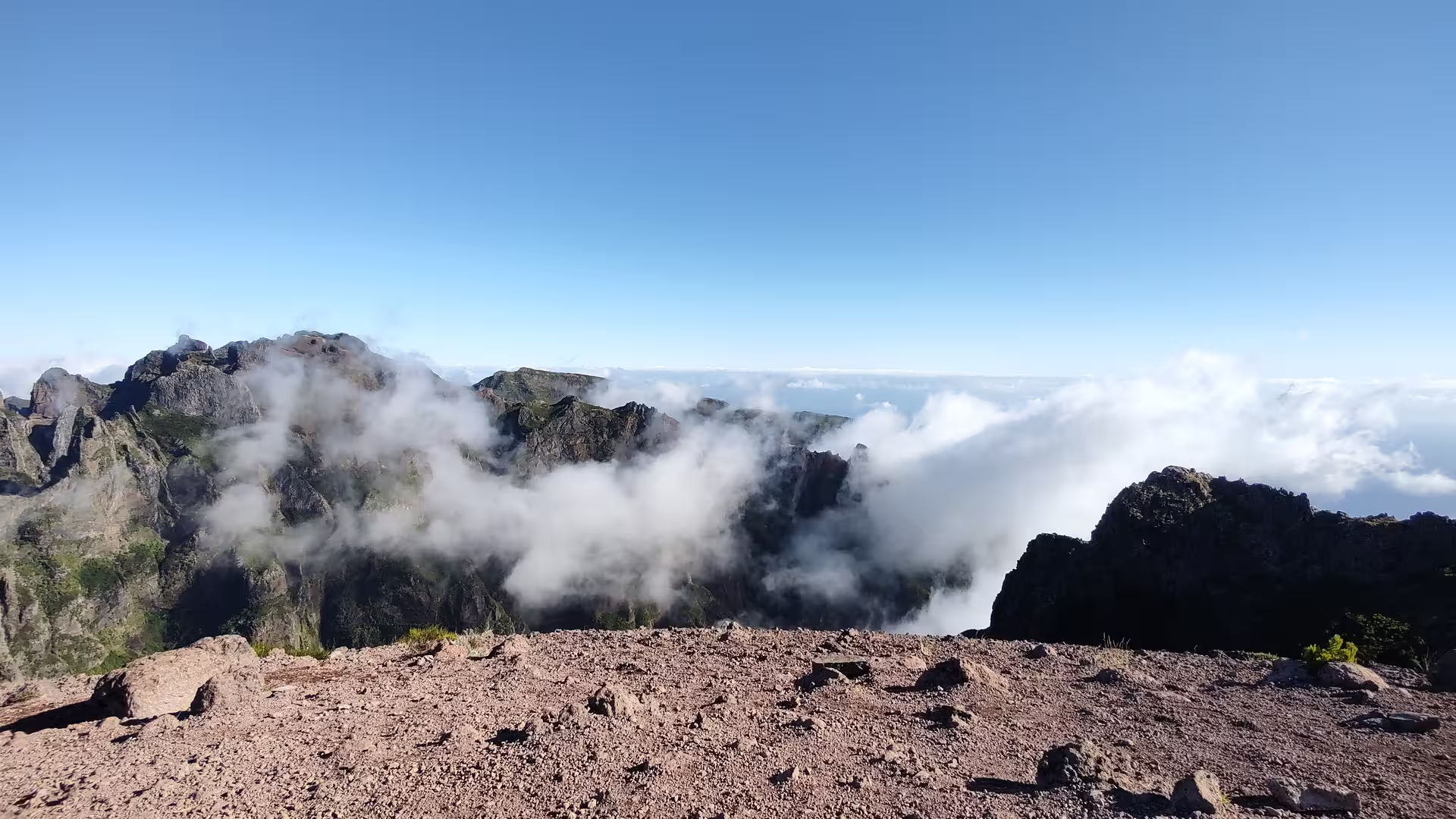
The mountain's volcanic landscape features exposed rock formations, deep valleys, and alpine vegetation unique to this elevation. The main trail passes through ancient laurel forests before opening to barren, rocky terrain near the summit. Weather-resistant hikers can reach the peak's viewing platform, which offers unobstructed vistas of the surrounding archipelago and Atlantic Ocean.
Things to do in Pico Ruivo
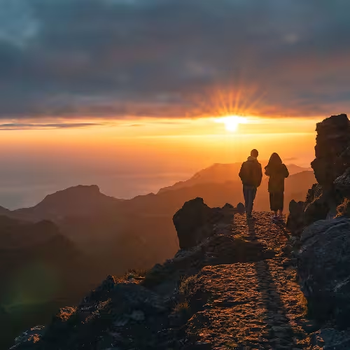
Hiking to the summit is the primary activity, with multiple routes ranging from 4 to 8 hours depending on starting point. Visitors can combine the climb with guided nature tours that explain Madeira's geology and endemic plant species. Photography enthusiasts visit during sunrise or sunset when atmospheric conditions create striking light displays across the mountain.
Mountain Hiking and Alpine Ecology
Pico Ruivo's trails traverse distinct ecological zones as elevation increases, showcasing Madeira's endemic flora and rare alpine habitat. The mountain's position in the Atlantic generates unique weather patterns, creating misty conditions that transform the landscape throughout the day and making each visit a distinct experience for hikers.
Pico Ruivo is located on the Portuguese island of Madeira in the Atlantic Ocean, approximately 520 kilometers off the coast of Morocco. The peak is part of a volcanic mountain range that forms the backbone of Madeira and is accessible via multiple hiking trails from villages throughout central Madeira. The island's temperate climate and elevation create unique weather conditions that change dramatically throughout the day.