




Last updated:


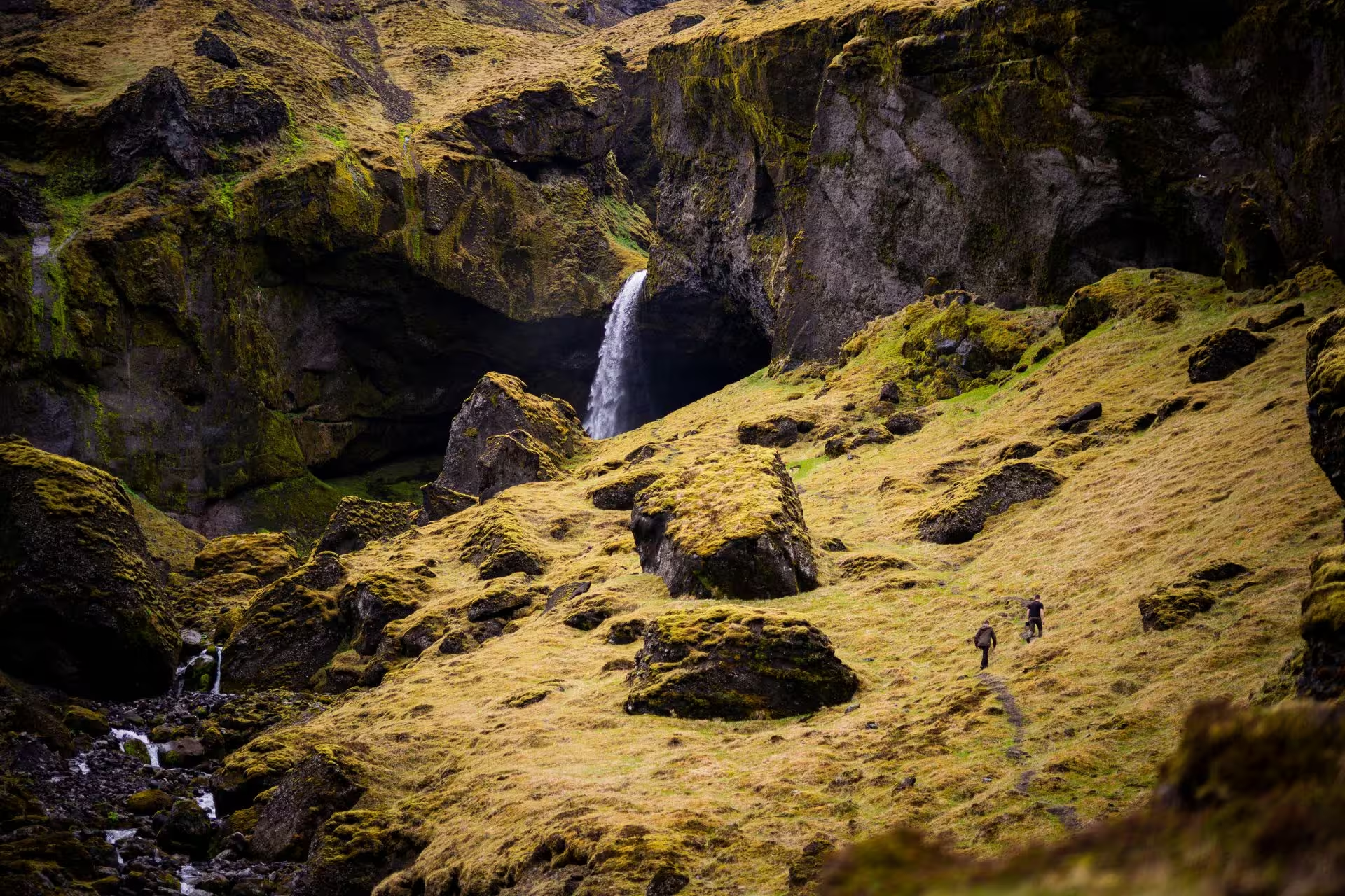
Stakkholtsgjá suits a visit built around a canyon walk and the landscape of Þórsmörk, with access worth planning before the walking. The gorge belongs to the rock formations of this area in southern Iceland, where Þórsmörk lies between Tindfjallajökull and Eyjafjallajökull.
The canyon walk fits into a wider Þórsmörk visit. The Þórsmörk tour includes a walking excursion into Stakkholtsgjá alongside travel through the valley.
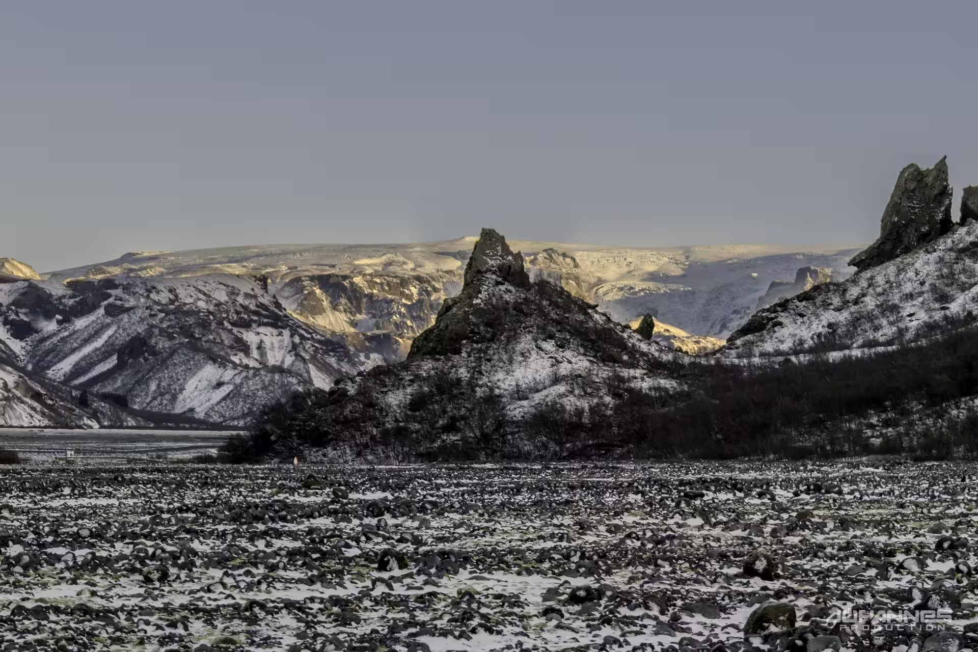
Other rock formations in the area include Snorraríki, Sóttarhellar Cave and Álfakirkja, whose name means the Church of the Elves.
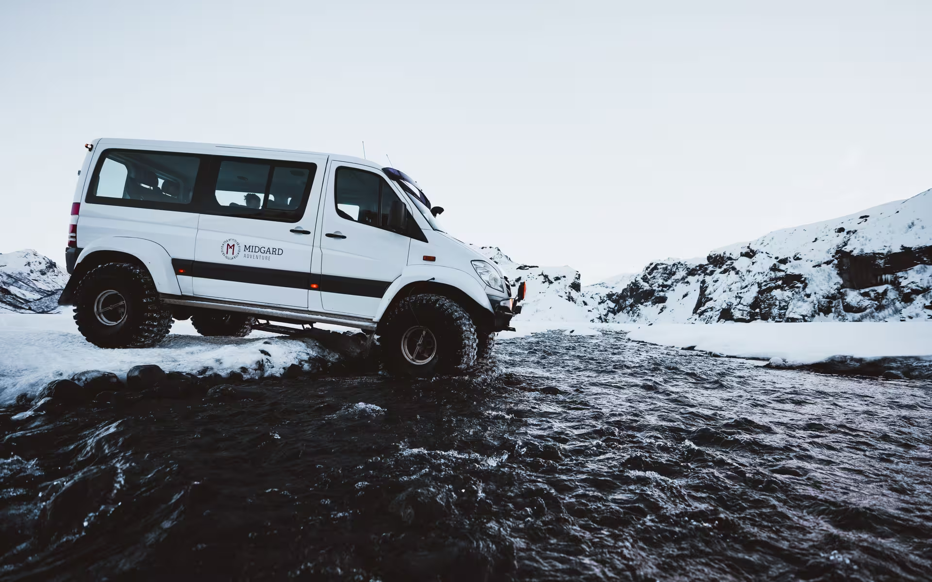
A large jeep or bus is needed for the road into Þórsmörk. Those are the vehicles able to negotiate the access road, which makes transport part of the decision about your canyon visit.
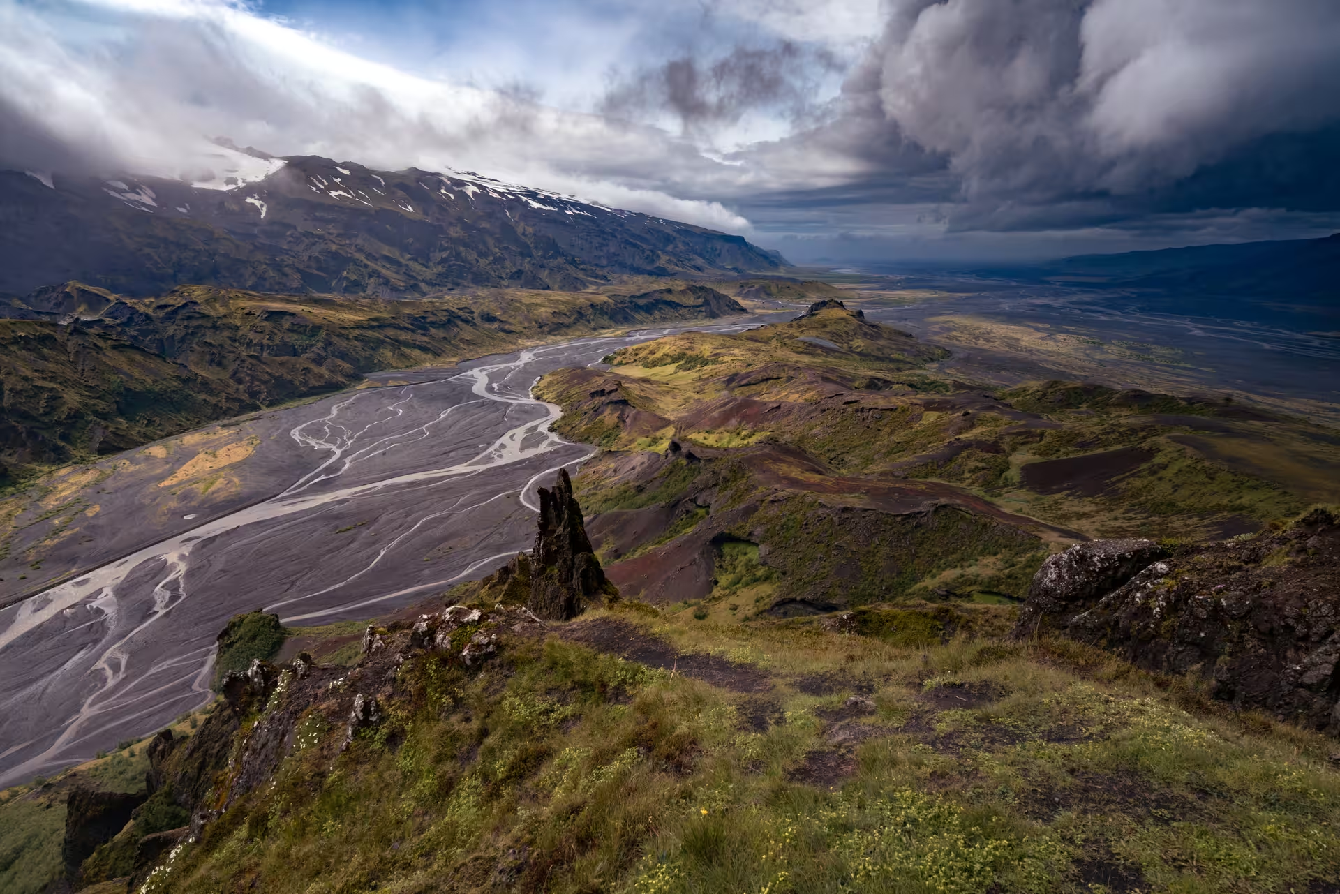
A private Super Jeep tour of Þórsmörk in the Iceland Highlands lasts 13 hours and includes private Super Jeep transport throughout, a professional guide, river crossings and highland off-road driving. Access to the Þórsmörk valley and the listed stops is included, together with a walking excursion into Stakkholtsgjá canyon.
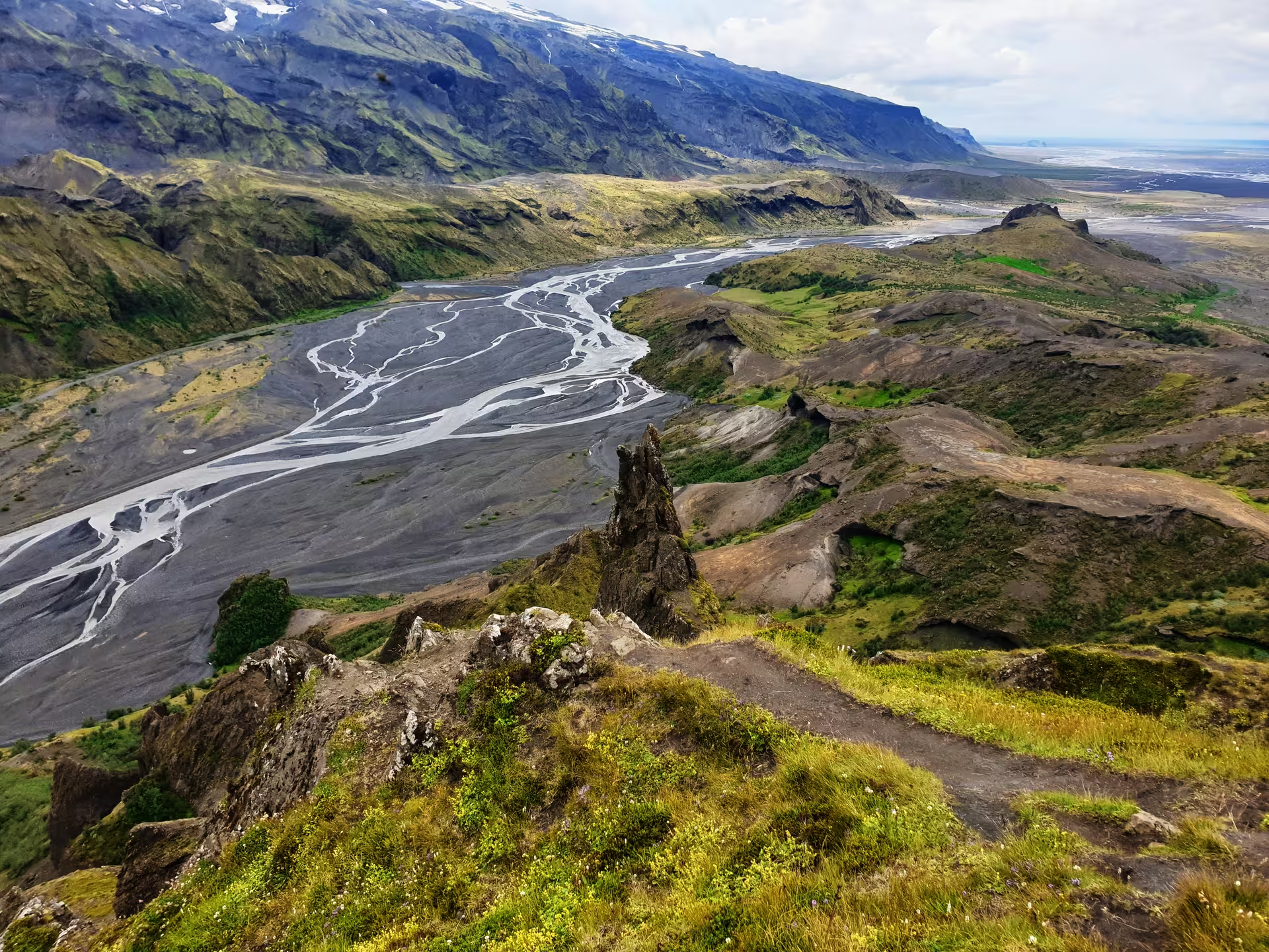
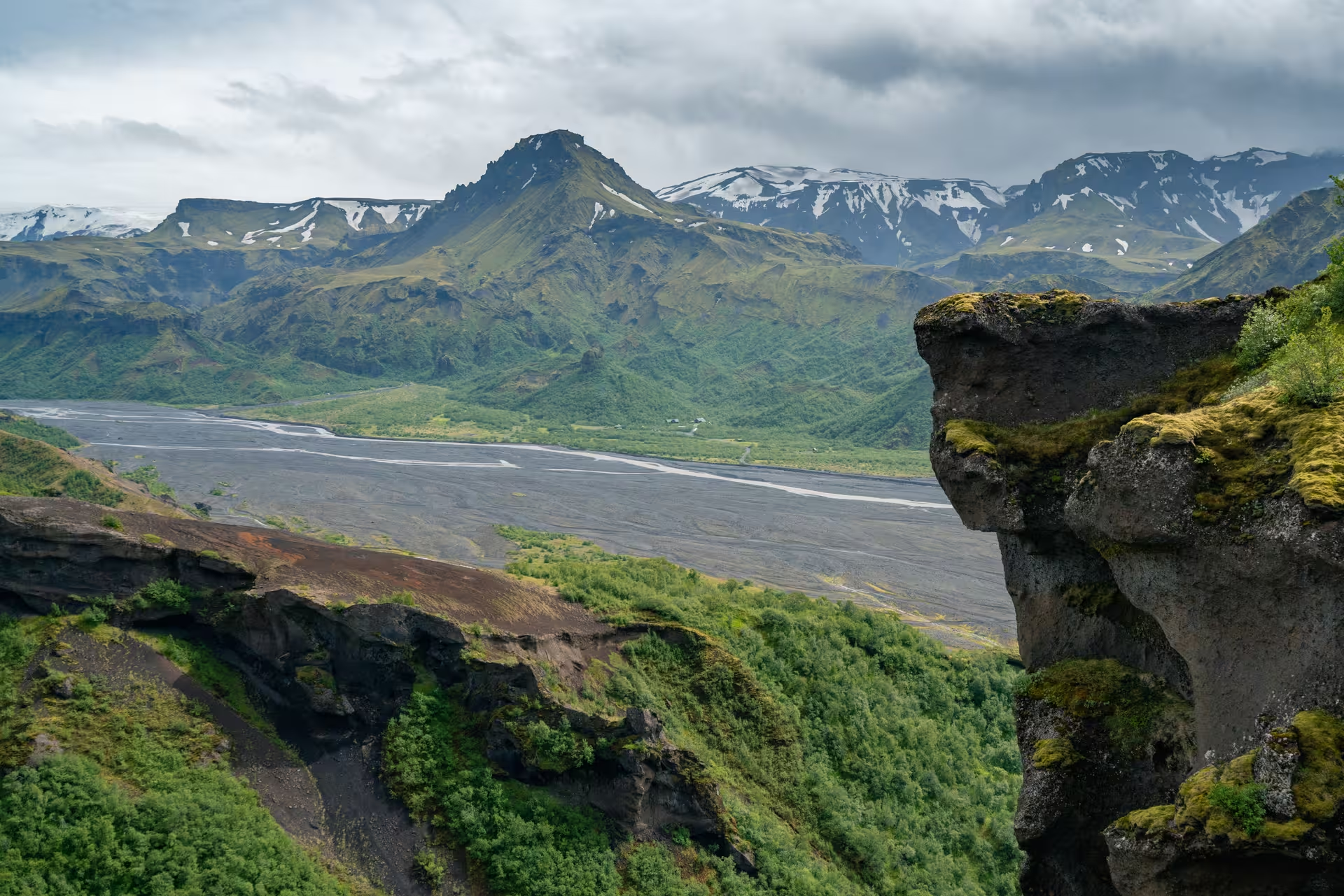
Gorges, ravines and vegetation are the reasons to make walking part of your Þórsmörk visit. Slopes covered in scrub accompany the gorges and ravines, while the protected valley contains mosses, ferns, birch woodland and small shrubs. That mix gives the wider valley a different focus from the canyon alone.
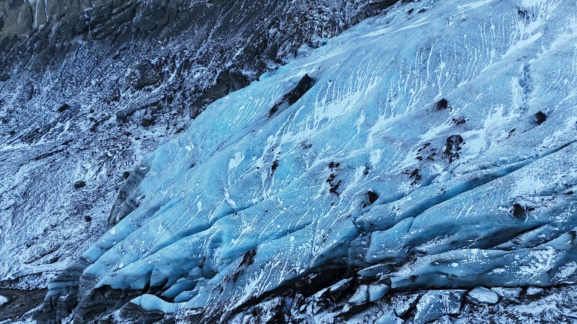
For orientation, Mýrdalsjökull lies east of Þórsmörk, Krossá lies to the south, and Markarfljót and Þröngá lie to the north. The glacier-fed Krossá winds through the valley mountains with cold, fast-moving water.
The mountain ridge takes its name from Thor, also known as Þór. After the Katla eruption of 1918 the area was placed under protection, and it has been in the care of the Icelandic Forest Service since the early 1920s.
One full day is a practical plan for a guided visit combining Þórsmörk and a Stakkholtsgjá walk. The 13-hour option fills that day with Super Jeep travel, river crossings, highland off-road driving, access to the valley and a canyon walking excursion. For this plan, transport and the canyon walk belong in the same day rather than in separate visits.
Þórsmörk offers a sheltered, relatively warm valley setting for a walking visit. The valley climate is warmer than elsewhere in southern Iceland, so the wider regional climate does not tell the whole story here.
Seljalandsfoss and nearby Gljúfrabúi make a waterfall pairing for a wider trip. Seljalandsfoss drops 60 m on the Seljalandsá and has a path behind the falling water. Nearby, the Gljúfurá feeds the 40 m drop at Gljúfrabúi.
Seljalandsfoss is reached from Seljaland farm along the Ring Road, near the foot of Eyjafjallajökull, and lies about 30 km west of Skógar. Skógafoss offers another waterfall stop near Skógar on the Southern Ring Road, where the Skógá drops 60 m.
At Fimmvörðuháls, the 2010 eruption began on 20 March and continued until 12 April.
Katla erupted for 24 days in 1918, beginning late in the afternoon on 12 October.
The mean temperature over the year in Vík í Mýrdal is 5.3 °C.