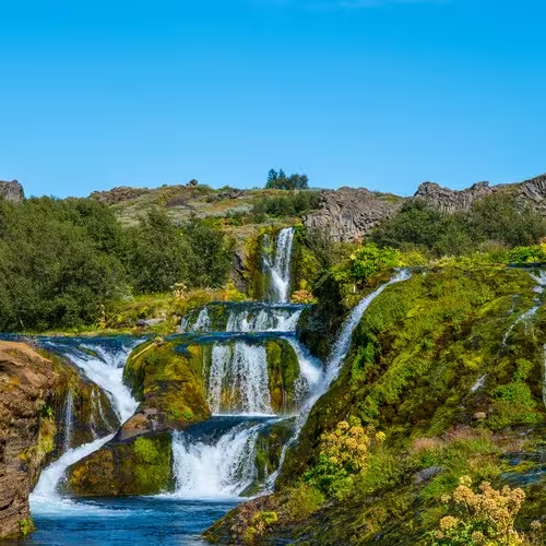
Stakkholtsgjá: canyon and Þórsmörk
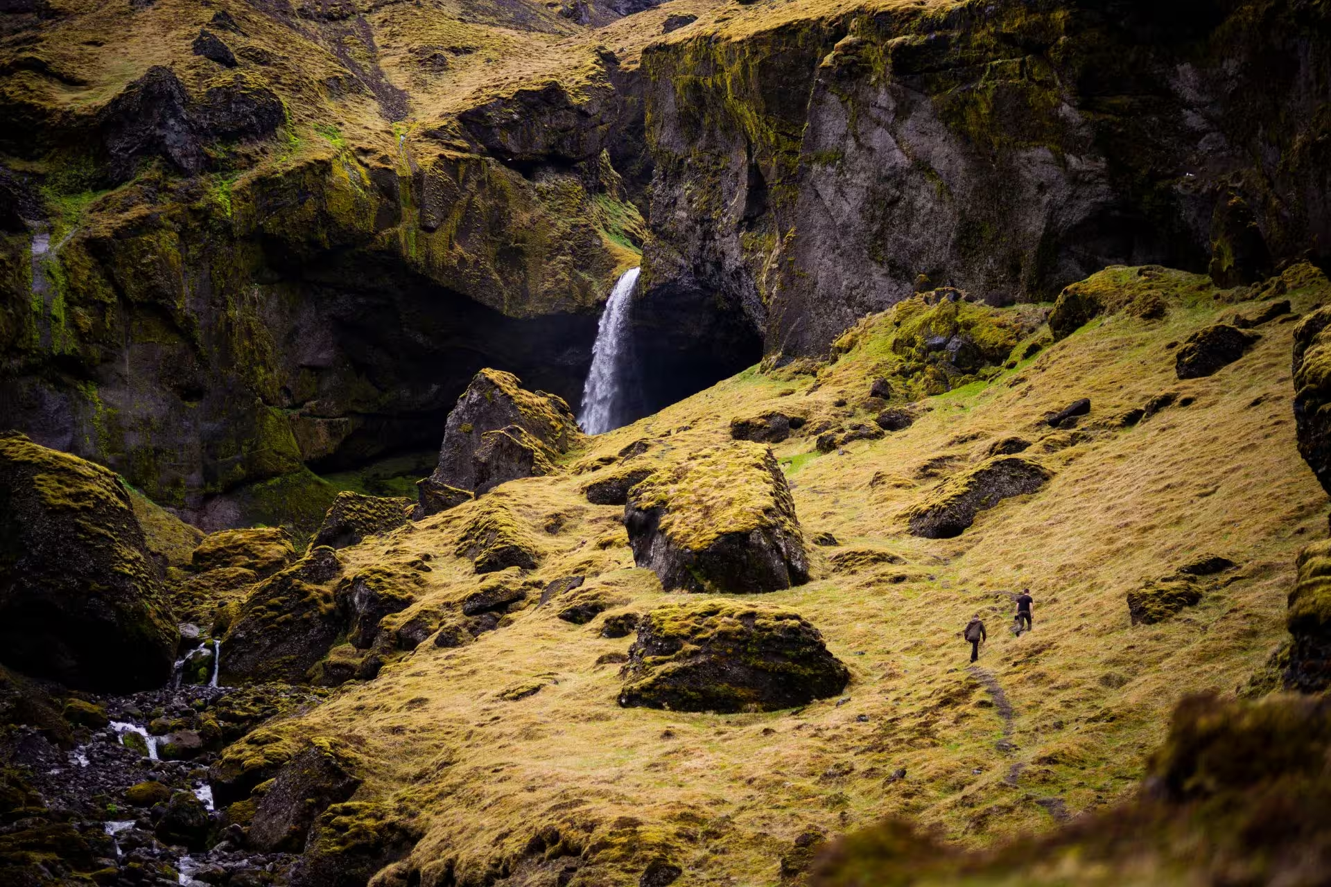
Stakkholtsgjá is a gorge among the rock formations of the Þórsmörk area. Other formations in the area include Snorraríki, Sóttarhellir cave and Álfakirkja, whose name is also given as the Church of the Elves.
Stakkholtsgjá canyon
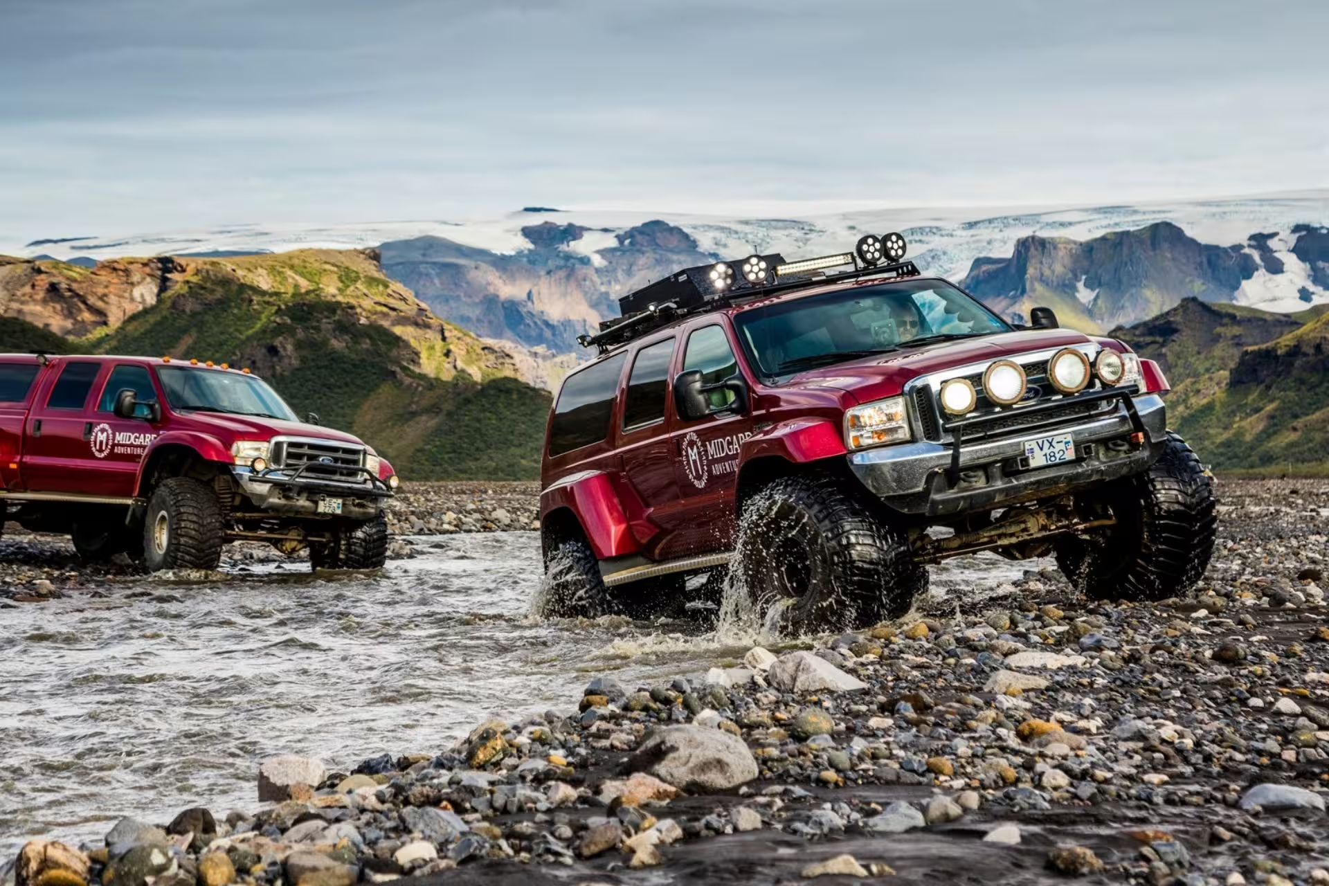
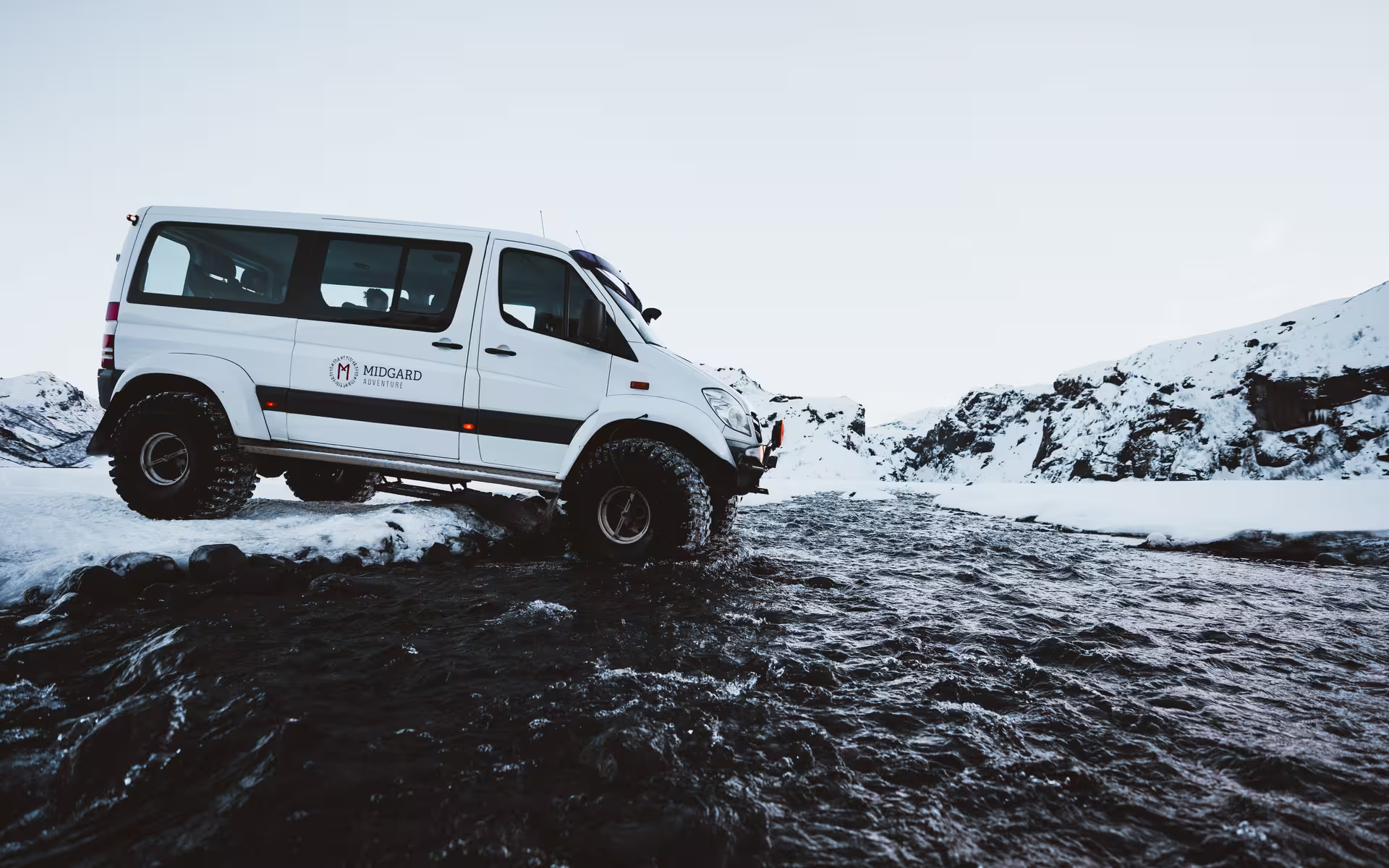
A private Super Jeep tour of Þórsmörk in the Iceland Highlands lasts 13 hours. It includes private Super Jeep transport for the whole tour and a professional guide throughout the journey. River crossings, highland off-road driving, access to the Þórsmörk valley and the listed stops, and a walking excursion into Stakkholtsgjá canyon are included.
Þórsmörk
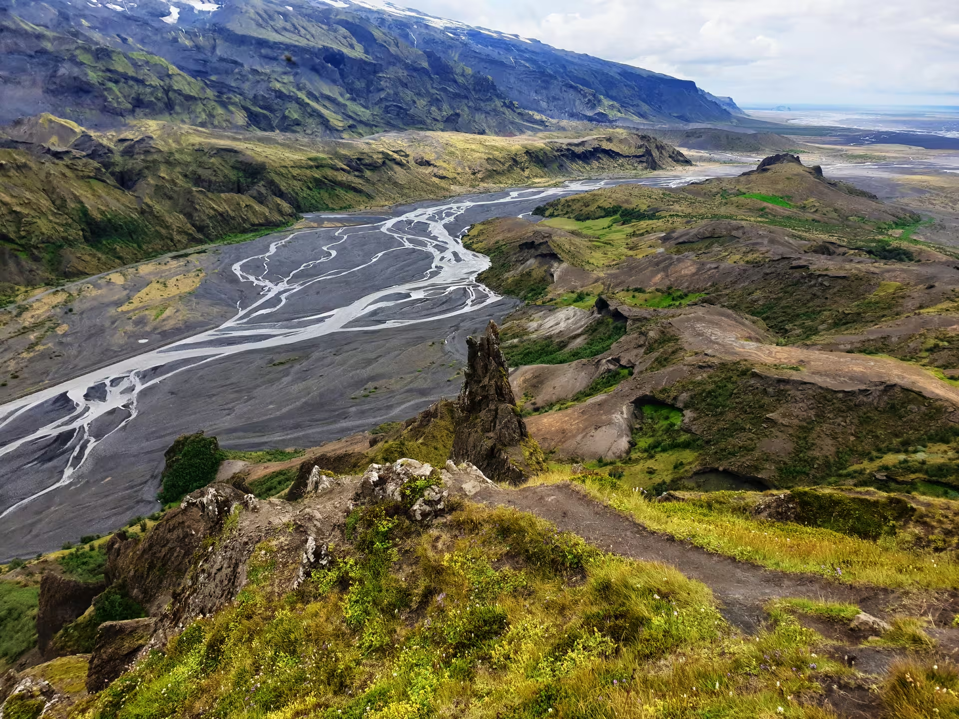
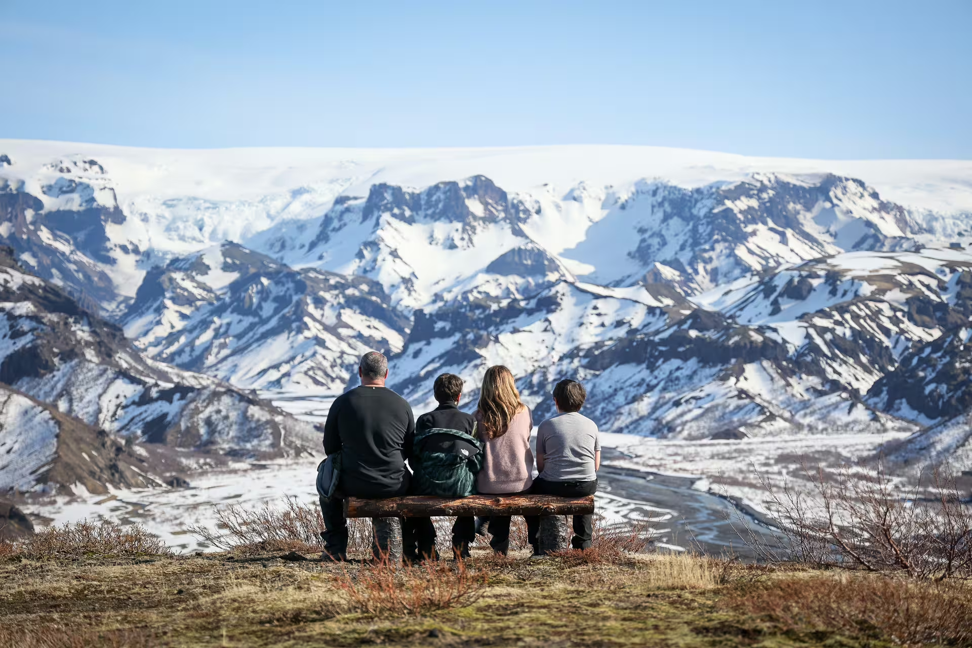
The Þórsmörk valley takes its name from Thor, the Norse god also called Þór. Its location in southern Iceland places it between the Tindfjallajökull and Eyjafjallajökull glaciers. Mýrdalsjökull lies to its east, while the Krossá River lies to the south and the Markarfljót and Þröngá rivers lie to the north.
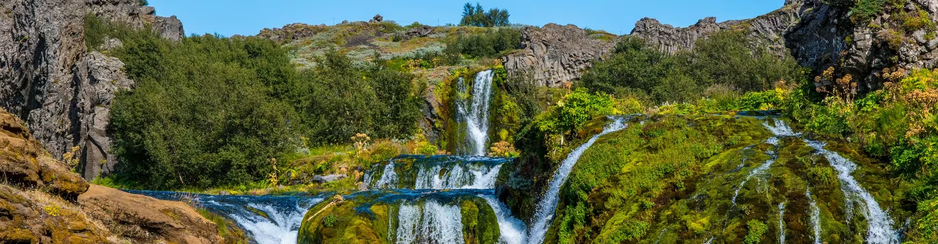
Gorges and ravines cut through a landscape that also has slopes covered in scrub. Mosses, ferns, birch woodland and small shrubs make up the green vegetation of the protected Þórsmörk valley. Fed by glaciers, the Krossá carries cold, fast-flowing water along a winding course between the valley mountains.
Þórsmörk has been protected since the early 1920s, in the care of the Icelandic Forest Service. The 1918 Katla eruption began on the afternoon of 12 October 1918 and was over by 4 November. The road into Þórsmörk can be negotiated only by buses and large jeeps.
Seljalandsfoss, Gljúfrabúi and Skógafoss
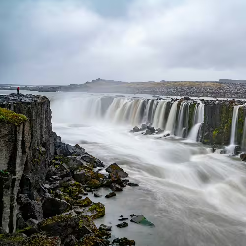
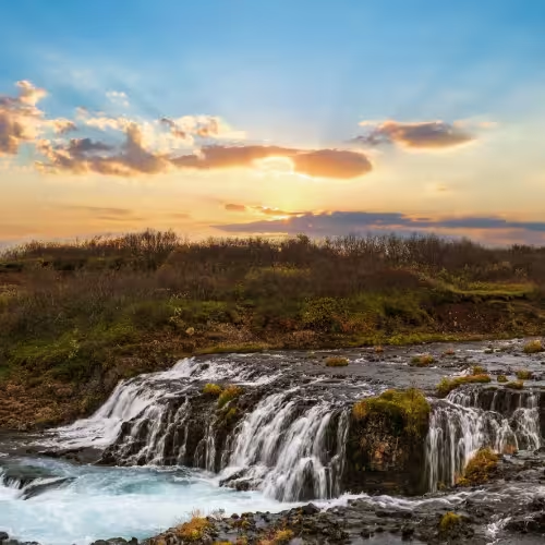
On the Seljalandsá River, Seljalandsfoss drops 60 m and has a footpath running behind the waterfall. It lies roughly 30 km to the west of Skógar. Gljúfrabúi, a waterfall near Seljalandsfoss, has a drop of 40 m and is fed by the Gljúfurá River. Near the village of Skógar on the Southern Ring Road, the Skógá River forms the 60 m waterfall Skógafoss.
Eyjafjallajökull and Fimmvörðuháls
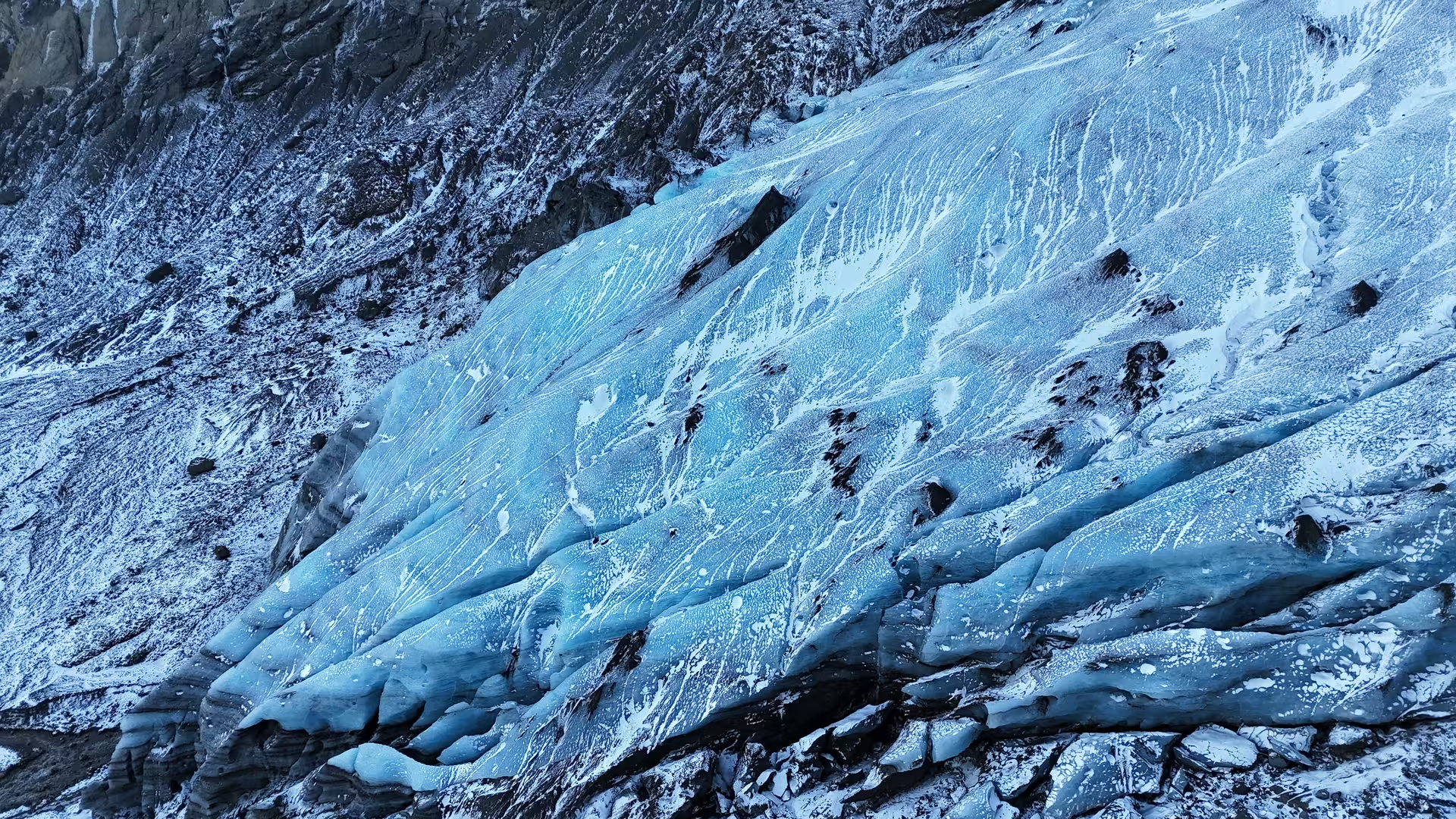
Eyjafjallajökull reaches about 1,651 m (1,666 m at the ice surface) and is a stratovolcano capped by a glacier. At its summit, the caldera measures 2.5 km across. Its name translates as the glacier of Eyjafjöll. Steinholtsjökull and Gígjökull are outlet glaciers flowing down from the main Eyjafjallajökull glacier.
The historical record includes four eruptions of Eyjafjallajökull: in 920, 1612, 1821-23 and 2010. In 2010, the initial eruption took place at Fimmvörðuháls, a ridge without ice between Eyjafjallajökull and Mýrdalsjökull. It ran from 20 March until 12 April that year. The eruption formed Magni and Móði, craters on the northern side of Fimmvörðuháls. Eyjafjallajökull drew international news coverage in 2010 after ash from its eruption brought European air traffic to a halt.
Katla and the geopark
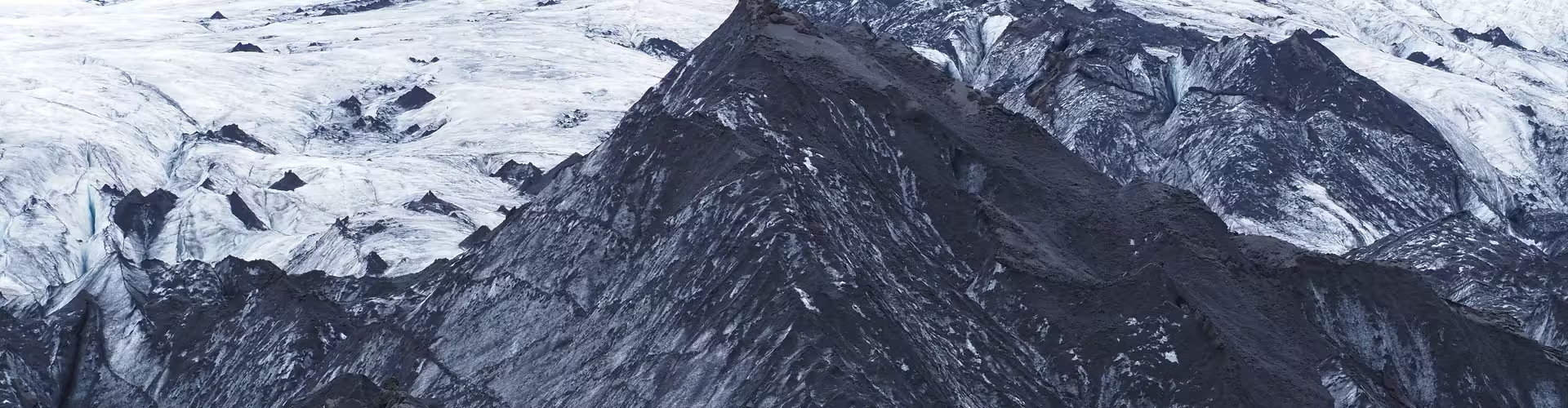
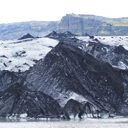
Katla's caldera has an area of about 100 km² (estimates reach 110 km²). Since Iceland was settled in 874 AD, the volcano has erupted at least 20 times. Eruptions of Katla melt around 5-10% of the Mýrdalsjökull glacier. The Katla UNESCO Global Geopark extends over 9542 km², equivalent to about 9% of Iceland. Records for the geopark area document volcanic eruptions since the ninth century.
Frequently asked questions
Where is Stakkholtsgjá?
The gorge belongs to the rock formations of the Þórsmörk area.
What does the canyon tour include?
The 13-hour tour includes private Super Jeep transport, a professional guide, river crossings, highland off-road driving, access to Þórsmörk and the listed stops, and a walk into Stakkholtsgjá canyon.
What vegetation grows in Þórsmörk?
The protected valley contains mosses, ferns, birch woodland and small shrubs.
What vehicles can use the road into Þórsmörk?
Buses and large jeeps are the only vehicles able to negotiate the road into Þórsmörk.
Which waterfalls are described here?
Seljalandsfoss and Skógafoss each drop 60 m, while Gljúfrabúi near Seljalandsfoss drops 40 m.