Grindavík: fishing heritage, the Blue Lagoon and Reykjanes
In Iceland’s Southern Peninsula district, Grindavík is a fishing town near Þorbjörn. Its setting is towards the southwestern end of the Reykjanes Peninsula. Grindavík is one of Iceland's strongest fishing towns.
Grindavík in Iceland
Along this coast, relatively few towns have a harbour, and Grindavík is among them. Lava from the Sundhnúkur crater row created the natural harbour; in 1939 residents dug a channel through a reef to link Hópið with the sea.
Municipal status followed in 1974.
The Blue Lagoon
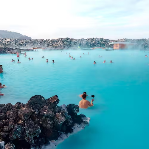
The spa stands before Mount Þorbjörn on the Reykjanes Peninsula. The Blue Lagoon is about 20 minutes' drive from Keflavík International Airport.
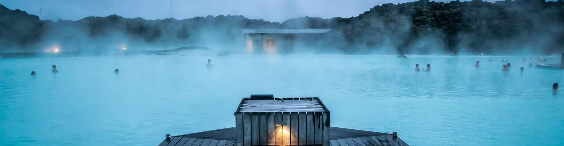
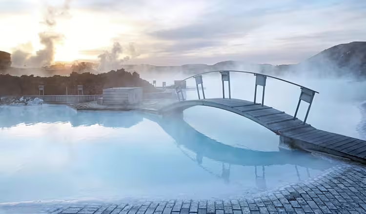
This geothermal spa uses heated, mineral rich water supplied by the nearby Svartsengi power station. The water comes from the geothermal plant as a byproduct of its operation. Its high concentration of silica gives the lagoon its cloudy blue colour. In the areas used for bathing and swimming, average water temperatures range from 37 to 39 °C. Soon after Svartsengi opened in 1976, water running off from the plant collected in pools.
The private guided Blue Lagoon experience lasts 4 hours and includes a driver and guide throughout, Blue Lagoon Comfort admission, a silica mud mask at the Mask Bar, use of a towel and one drink in the water.
The private Golden Circle and Blue Lagoon day tour in Iceland lasts 11 hours and includes private transport, a professional private guide, visits to Þingvellir National Park and the Geysir geothermal area, stops at Brúarfoss and Gullfoss waterfalls, and Kerið Crater and Hveragerði.
Reykjanes tours and landscapes
The Reykjanes UNESCO Global Geopark covers about 829 km² of the peninsula. Volcanic activity continues beneath its surface, while extensive lava fields support sparse vegetation. Reykjanes received UNESCO Global Geopark recognition in 2015, and the geopark contains 55 geosites. Two plates move apart here at an average of 2.0 to 2.5 cm a year. The peninsula also contains the site called the Bridge between Europe and North America.
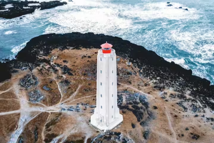
At the southwestern tip of Reykjanes, Gunnuhver is an active geothermal spring close to the ocean. Its features include fumaroles releasing steam, bubbling springs and pools of mud. Reykjanesviti has a tower 26 metres high.
The private family tour with a Reykjanes volcano walk and Sky Lagoon lasts 7 hours and includes private transport, an experienced local guide speaking English, a guided volcano hike, Sky Lagoon access, an adaptable family itinerary, a safety briefing and guidance on equipment.
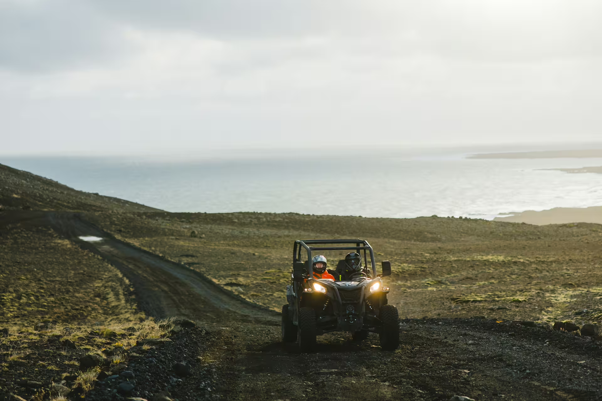
The black sand beach and lava trails ATV tour in Iceland lasts 2 hours and includes a guided ATV ride, an automatic ATV suitable for beginners, a local guide throughout, a safety briefing, protective equipment and stops for photographs and sightseeing.
Recent volcanic history
Growing seismic activity prompted an order to evacuate Grindavík on 10 November 2023. Eruptions at the Sundhnúksgígar crater chain started on 18 December 2023. On 14 January 2024 a second fissure opened at the edge of Grindavík, inside the protective barriers, and its lava destroyed three houses. The period from December 2023 to August 2025 saw nine eruptions.
Where is Grindavík in Iceland?
The town lies near Þorbjörn in Iceland’s Southern Peninsula district, towards the southwestern end of Reykjanes.
How far is the Blue Lagoon from Grindavík?
The Blue Lagoon is about 20 minutes' drive from Keflavík International Airport.
Why is the Blue Lagoon blue?
Silica in high concentrations produces the water’s cloudy blue colour.
What is the water temperature at the Blue Lagoon?
The bathing and swimming areas have average temperatures of 37 to 39 °C.
What features are found at Gunnuhver?
Gunnuhver has steaming fumaroles, bubbling springs and mud pools.
Frequently asked questions