Glyfada on the Athens Riviera
On the Saronic Gulf coast, Glyfada belongs to the Athens Riviera and the South Athens regional unit, with the status of both a town and a suburb. Its municipal territory covers 25.366 square kilometres, and the 2021 census recorded 89,597 people living there.
Glyfada and the Athens Riviera
The Riviera stretches for more than 60 km, from Faliro, near Piraeus, to Sounion and Lavrio. Between the Attica and Argolis peninsulas lies the Saronic Gulf, which belongs to the Aegean Sea. Aegina, Salamis and Poros are among the islands within the gulf.
The private tour of Athens, Cape Sounion and the Riviera lasts 8 hours and 30 minutes. It includes private transport in a Mercedes vehicle, a professional driver throughout the tour and a stop at Lake Vouliagmeni on the return journey.
The Athens coast
Along the Glyfada waterfront are marinas, serviced beaches, places for walks beside the sea and facilities for sport. The shopping centre brings together retail shops and places to eat and drink, including cafés, restaurants and bars. Athens has its golf course at Glyfada Golf Club, next to the former Ellinikon Airport site.
Following the Athens coastline, Poseidonos Avenue connects Faliro in Piraeus with Glyfada and continues beyond it. On the tram network, Line 7 follows the coast from Voula towards Akti Poseidonos in Piraeus. Service on the Athens Tram began in 2004.
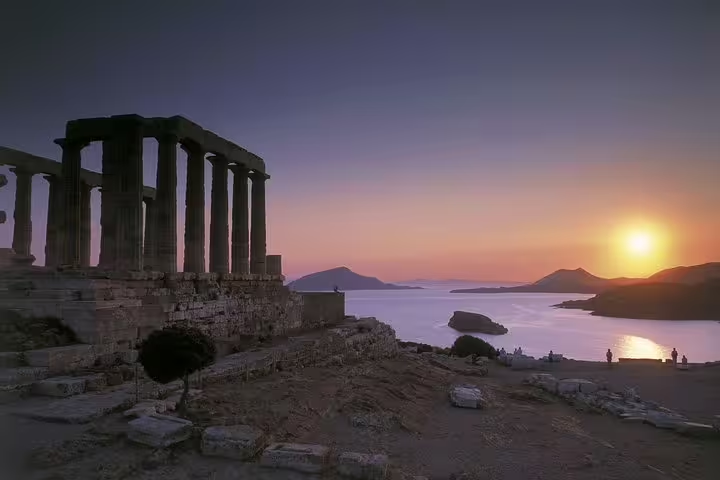
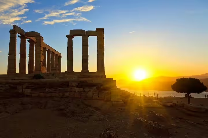
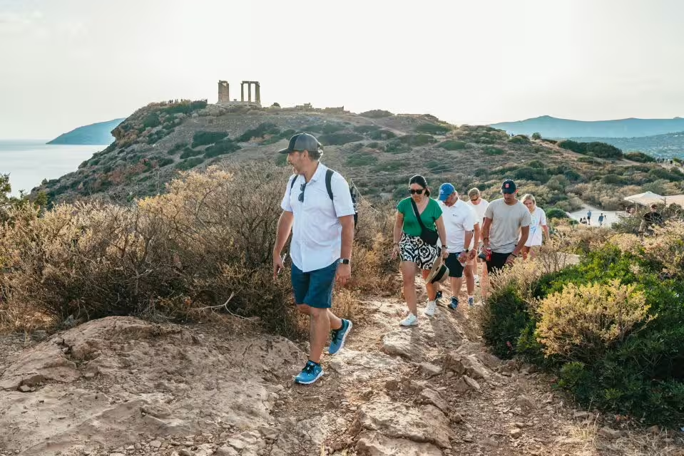
The guided Cape Sounion tour from Athens with sunset views has a duration of 5 hours. Included are transport in a licensed Mercedes vehicle of a recent model, a professional certified driver who speaks English, a photo stop at Vouliagmeni Lake, a visit to the Temple of Poseidon at Cape Sounion and a coastal drive through the southern suburbs of Athens.
Vouliagmeni and its lake
Vouliagmeni is where the 2021 census counted about 4,330 residents. Underground currents passing through Mount Hymettus supply Lake Vouliagmeni, a small lake of brackish water. The beaches of Vouliagmeni have received EU blue flags in recognition of environmental excellence.
The half day Cape Sounion tour from Athens to the Temple of Poseidon lasts 6 hours. It includes transport in a minivan with air conditioning, commentary from a driver acting as guide, a stop for photographs at Lake Vouliagmeni, access to public beach facilities and a visit to Cape Sounion and the Temple of Poseidon.
From Aixone to Glyfada
The ancient deme in the Glyfada area bore the name Aixone. The name Glyfada dates from the beginning of the 20th century and refers to freshwater wells that once existed in the area. House building began in 1920, followed soon afterwards by tourism at the beach. In 1926, Glyfada separated from the community of Brahamios and became an independent community.
Ellinikon International Airport opened in 1938 on the coast south of Athens, just west of Glyfada. It closed on 28 March 2001.
The climate
Summers in Glyfada are hot and winters are mild, within a Mediterranean climate.
Frequently asked questions
Where is Glyfada?
Glyfada lies on the Saronic Gulf coast within the Athens Riviera and the South Athens regional unit.
What is on the Glyfada seafront?
The waterfront includes serviced beaches, marinas, places for seaside walks and sports facilities.
What supplies Lake Vouliagmeni with water?
The small brackish lake receives water from underground currents passing through Mount Hymettus.
What was Glyfada called in ancient times?
The ancient deme in this area was called Aixone.
What is the climate in Glyfada?
Glyfada has a Mediterranean climate, with hot summers and mild winters.