




Last updated:

Tirana, Albania's capital, sits among hills and mountains in the centre of the country.
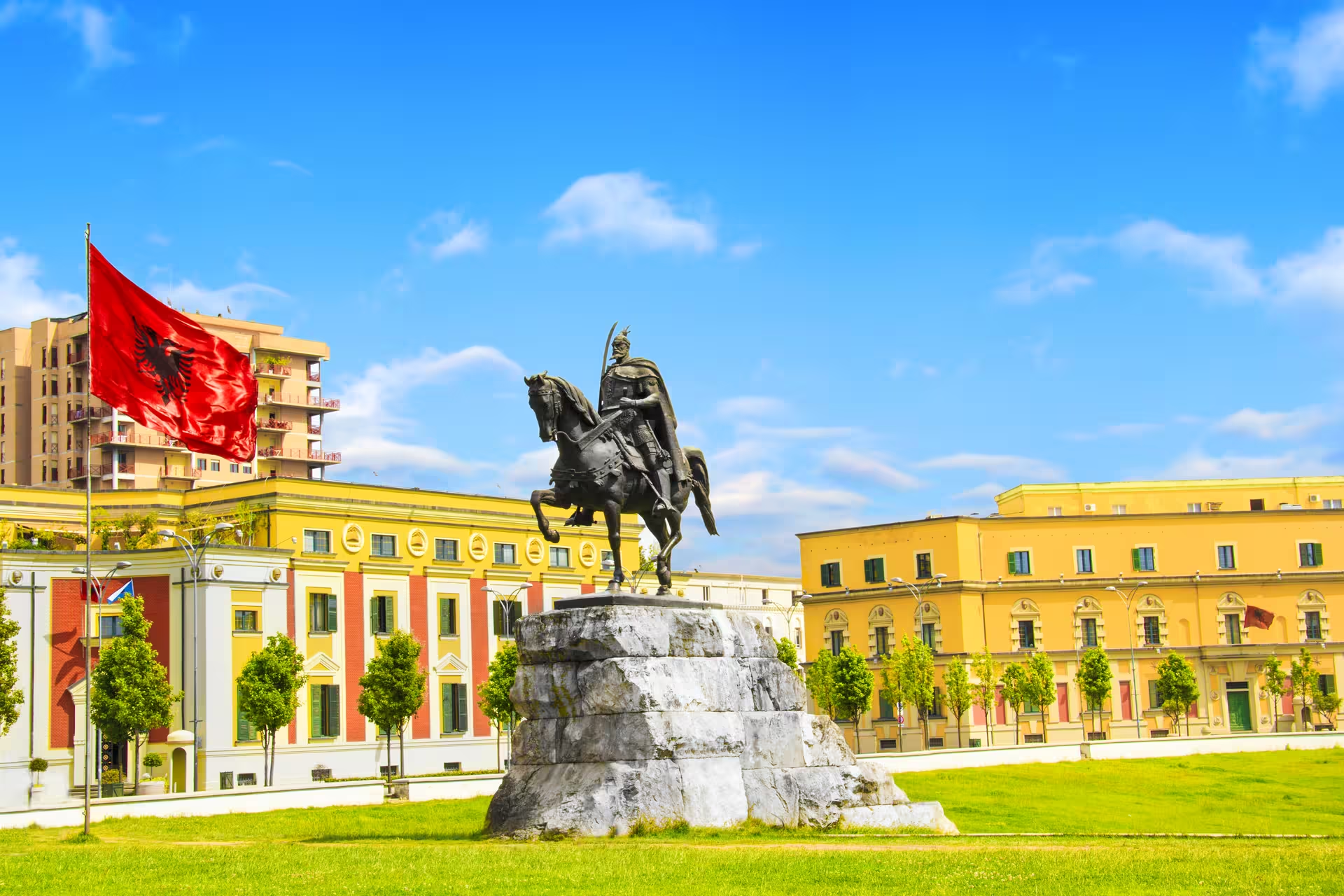
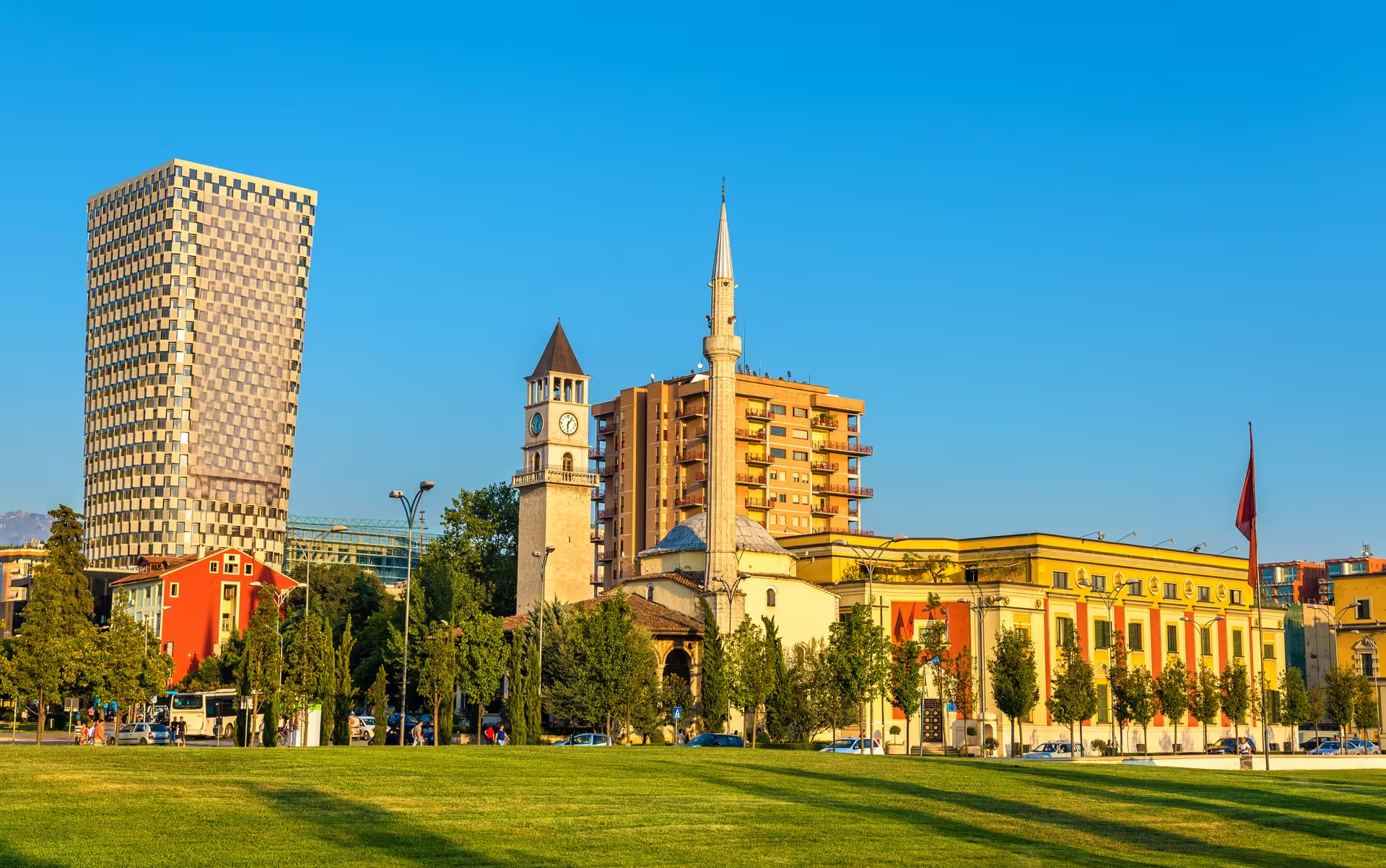
Skanderbeg Square and the Et'hem Bey Mosque make a useful focus for a visit centred on monuments and art. The square honours the national hero Skanderbeg, with his monument as its focal point. At the National History Museum on the square, look above the entrance for the large mosaic, The Albanians.
The mosque's frescoes reward a closer look: trees, bridges and waterfalls appear outside and within the portico. Beside the mosque, the Clock Tower has marked the city centre since the 1820s. For a different view of Tirana's past, the Pyramid now serves culture and education, having opened as the Enver Hoxha Museum in 1988. Its renovated spaces welcomed the public again in October 2023.
Two days are a reasonable plan for the city sights and some time in a park. Day one can centre on Skanderbeg Square, the museum mosaic, the mosque and the Clock Tower. On day two, focus on the Pyramid and Bunk'Art, then leave room for the Grand Park.
Bunk'Art occupies underground bunkers commissioned by Hoxha, while the Grand Park offers a public green space in southern Tirana. Its trees, lake and botanical garden give the park a reason to linger.
A longer guided itinerary is the four-day private tour of Berat and Gjirokaster in Albania, including a private guide, return transport from Tirana, a Berat winery tasting, an Albanian cooking class with lunch, and a specialised 4x4 vehicle where applicable.
Spring and autumn are the most comfortable seasons for walking the city. July averages 24 °C, with hot afternoons, while January averages 6.7 °C and winter is the wettest season. The monthly averages are 24 °C for July and 6.7 °C for January, within a climate of hot summers and mild, wet winters. For planning time outdoors, treat those figures as monthly averages rather than daily temperatures.
Walking makes sense for the Skanderbeg Square part of your visit because the square belongs to a large pedestrian area. The mosque and Clock Tower can be grouped together because they stand beside one another in the city centre.
For arrival by air, Tirana is served by Nënë Tereza International Airport. The airport lies northwest of the city at Rinas, about 11 kilometres in a straight line and a little further by road, within the municipality of Krujë.
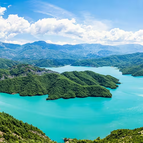
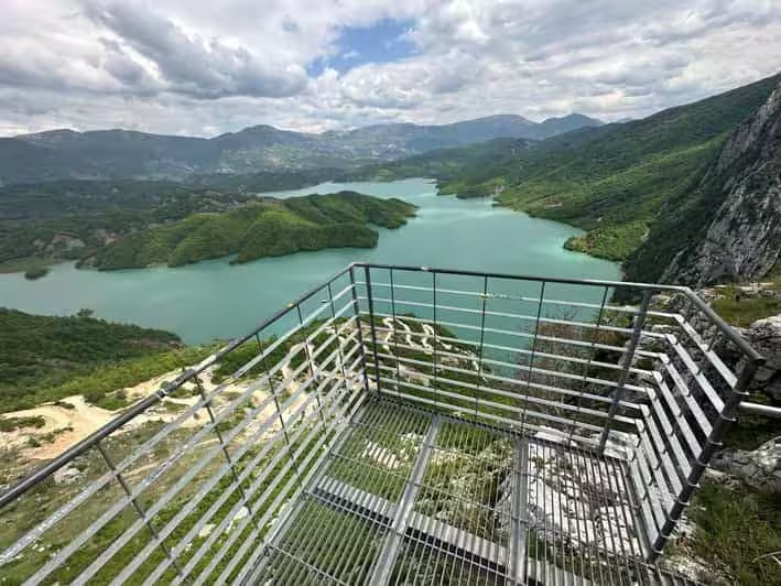
Bovilla Lake fits a shorter guided outing, while Ohrid and Pogradec take a longer day trip. The guided nature tour to Bovilla Lake from Tirana lasts 5 hours and includes return transport, a local guide, an Albanian picnic lunch with local snacks and seasonal produce, and a viewpoint visit with commentary.
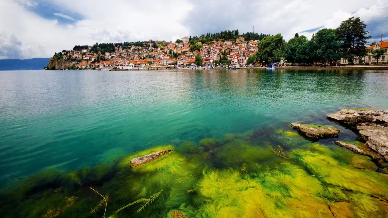
The Ohrid and Pogradec day trip for lakes, history and culture lasts 10 hours, with return transport from Tirana, a professional driver and an English-speaking guide.
Around Skanderbeg Square is a useful area to look for accommodation if your priority is the square and its monuments. The pedestrian setting and the National History Museum on the square give that choice a clear sightseeing focus.
Tirana lies at an average elevation of about 110 metres.
Dajti rises east of Tirana, with Maja e Dajtit reaching an elevation of 1,613 metres.
The bright colours come from a facade-painting initiative led by Edi Rama during his time as mayor.