




Last updated:


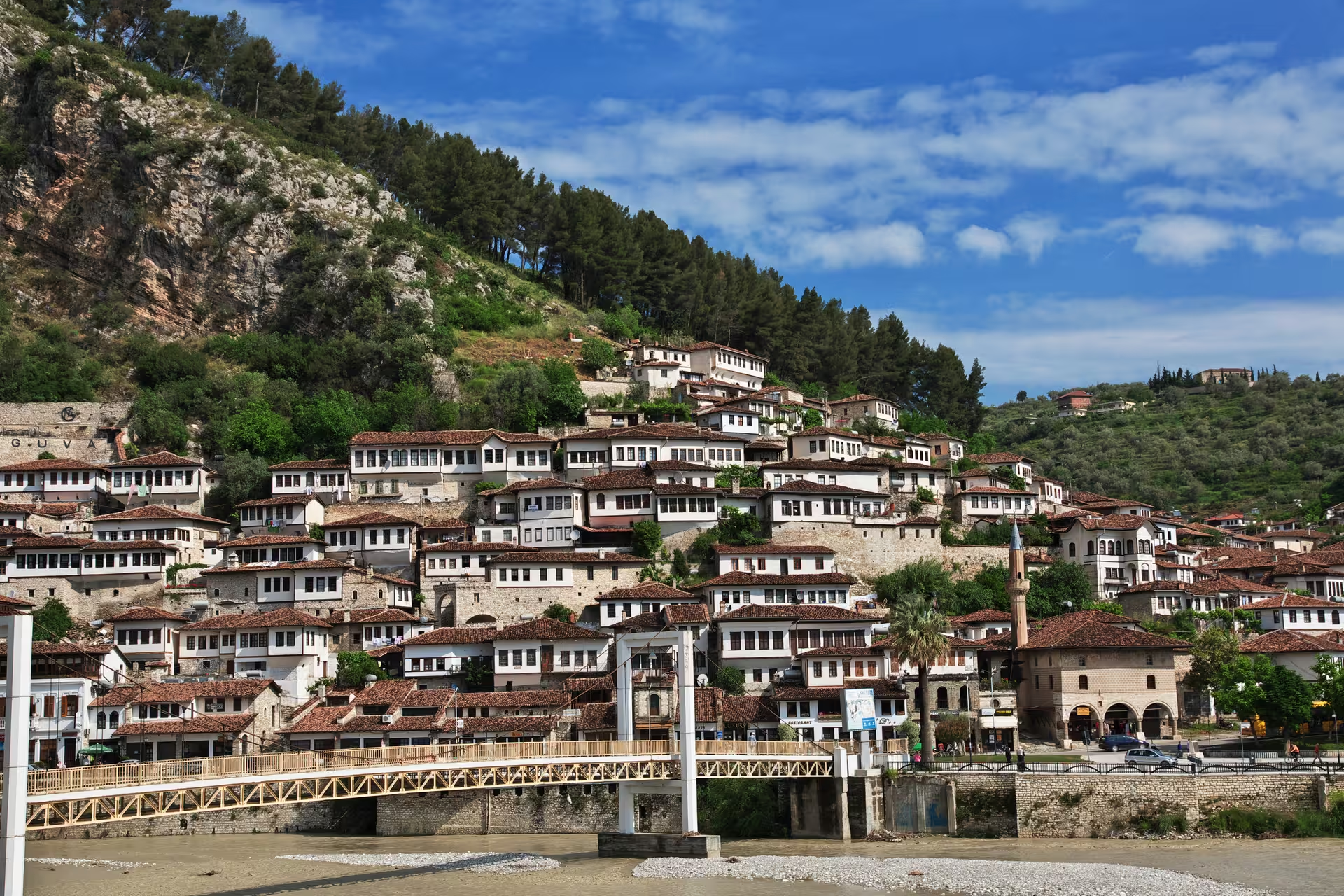
Berat suits a trip built around historic neighbourhoods, a hilltop castle and religious art. In southern Albania, the city spreads across the Osum River, with Mangalem, Gorica and the Castle District forming its old town. UNESCO added Berat to its World Heritage List in 2008.
Two days are a useful plan for the old town: devote one to Berat Castle and the Onufri museum, and the other to Mangalem and Gorica. Grouping the castle and museum makes sense because the museum sits within the castle itself. The second day leaves room for Mangalem’s streets and Ottoman mosques rather than treating the neighbourhood as a stop between monuments.
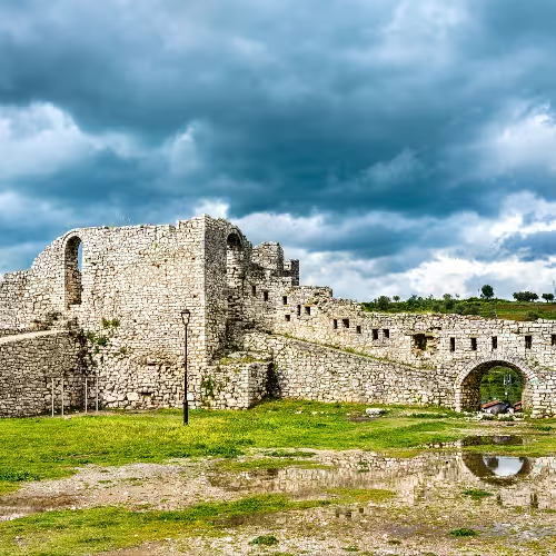
Pair the castle with the Onufri museum if you want both a historic setting and religious art. The fortress, largely rebuilt in the 13th century on much older foundations, occupies a rocky hill on the right bank of the Osum. Inside, the museum occupies the Cathedral of the Assumption of the Virgin Mary, which dates to 1797.
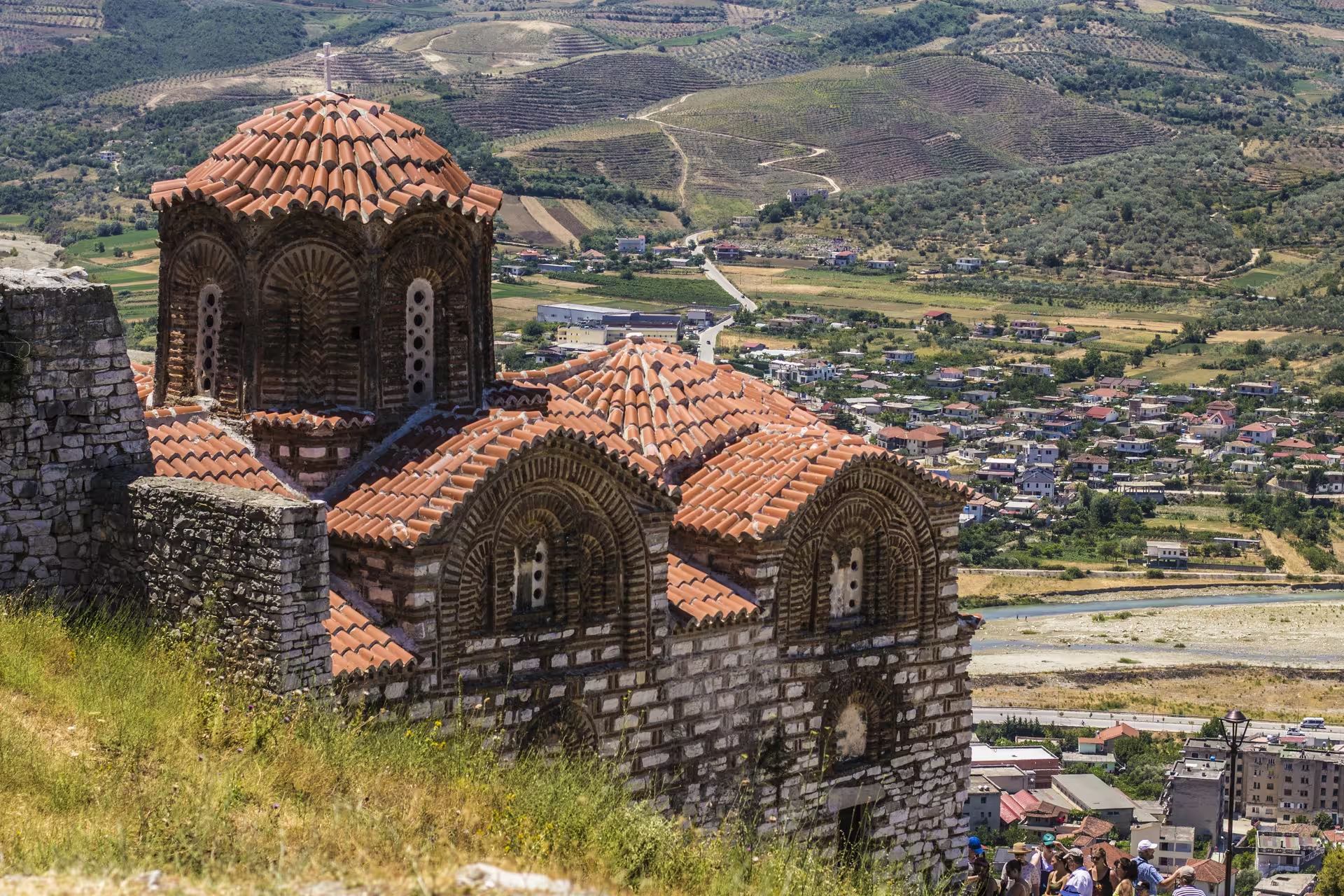
Its collection brings together around 200 icons and liturgical objects spanning the 14th to the 20th centuries. The cathedral’s monumental iconostasis dates to around 1806-1807, so the building itself adds another reason to include this stop.
Mangalem rewards a visit focused on streets and houses as well as mosques. At the foot of Castle Hill, its surviving houses largely date from the 18th and 19th centuries and line narrow cobbled lanes above the Osum. That layout makes the neighbourhood a useful counterpoint to the castle and its museum.
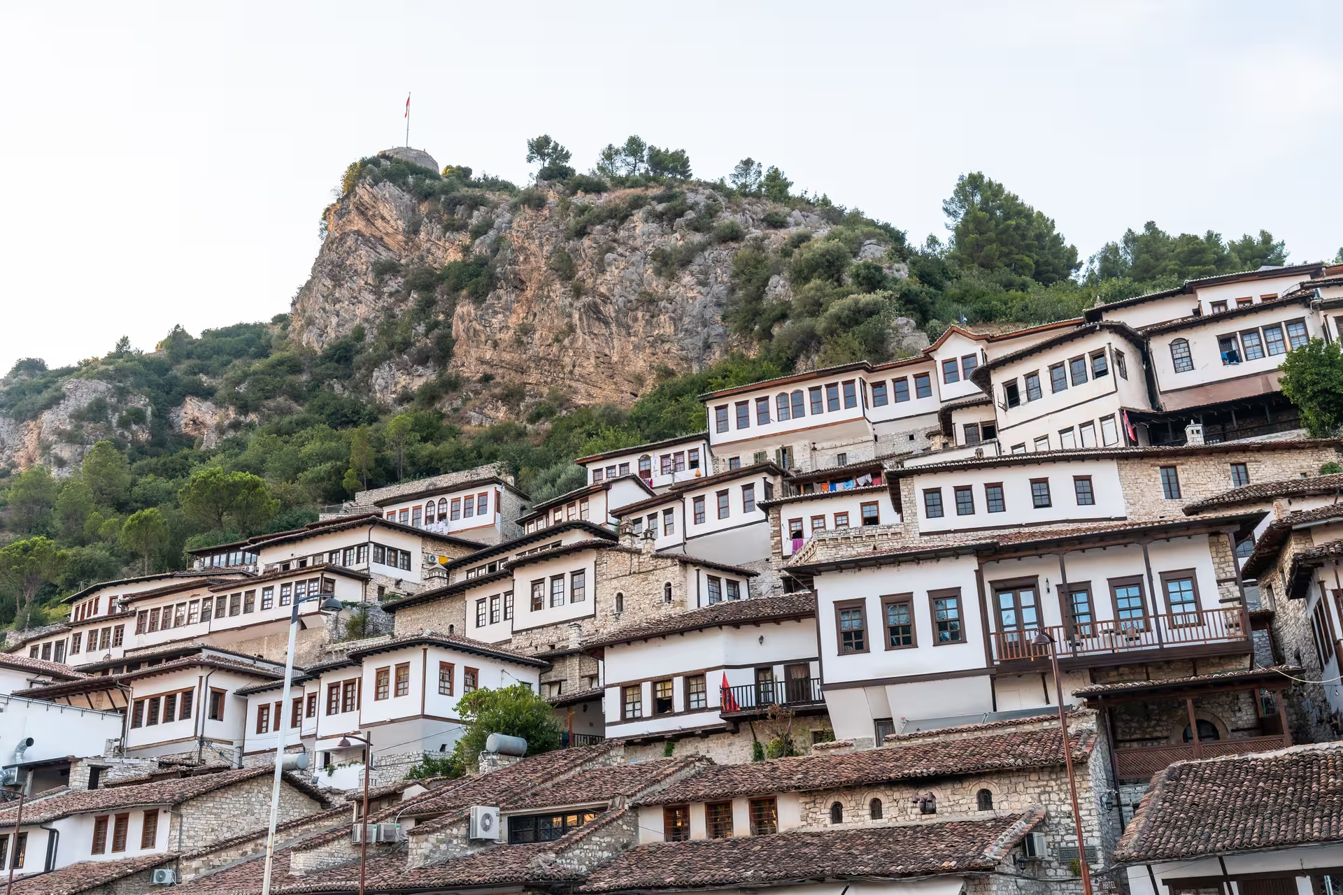
For Ottoman religious buildings, include the Beqarëve Mosque and the King’s Mosque in your Mangalem plans. Berat's old town, including Mangalem, has been protected as a museum city since 1961.
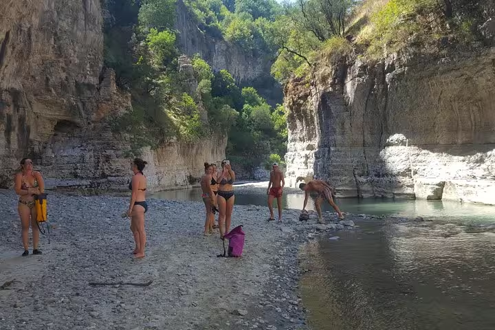
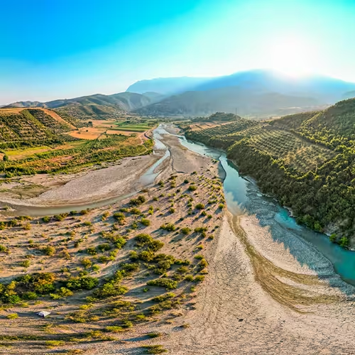
Osum Canyon is a day-trip idea for a stay focused on natural landscapes rather than more historic buildings. Near Çorovodë, the canyon has Natural Monument status for its landforms, scientific interest and scenery. The Osum links the landscapes: its course passes through both the canyon and Berat.
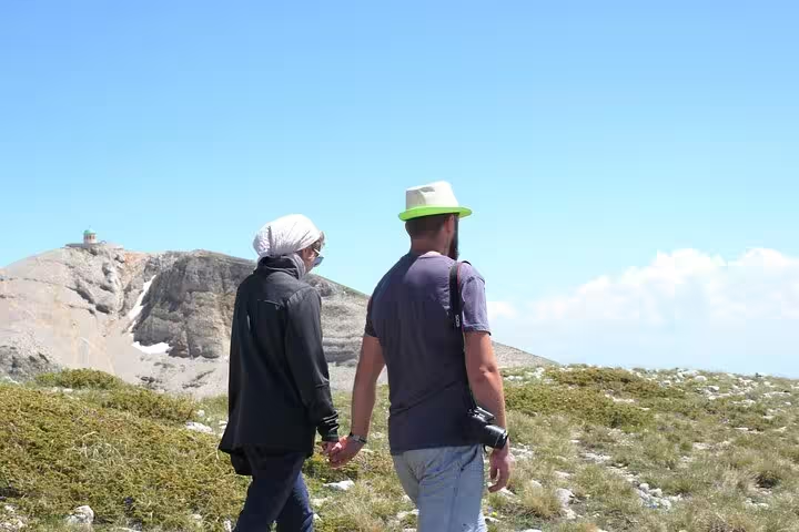
Mount Tomorr offers a mountain alternative, rising to 2,416 metres above sea level. The main Bektashi pilgrimage to the mountain takes place each year from 20 to 25 August, and Christians also climb it on 15 August.
Summer suits travellers comfortable with heat and dry weather; a walking-focused visit needs to take that heat into account. Berat's summer is hot and dry, and July daytime highs typically reach around 30 °C or more. The narrow lanes of Mangalem and the castle’s hilltop setting are reasons to think about how much walking you want in those conditions.
Plan the old-town visit around walking through Mangalem’s narrow cobbled lanes and allowing for the castle hill. The newer town occupies lower plains, so the city’s layout calls for distinguishing the hilltop visit from time in lower-lying areas.
Mangalem is a sensible focus for an accommodation search if historic streets are your priority. Gorica and the Castle District are other old-town areas to include in that search.
Berat has a Mediterranean climate, classified as Csa in the Köppen system.
The Osum runs for a total of 161 km.
Tomorr National Park extends over 26,106 hectares.