Arnarstapi: what to see and do
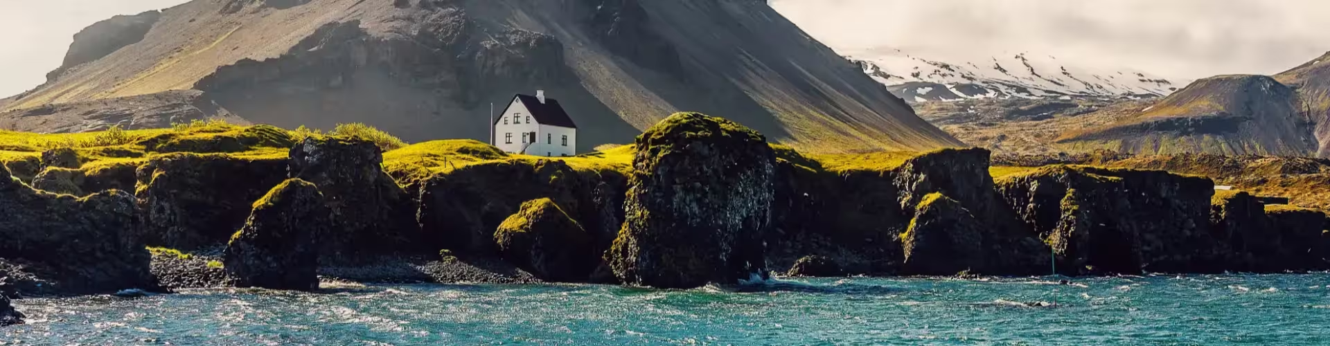
Beneath Mount Stapafell, Arnarstapi is a small village whose activities include fishing and tourism. It belongs to the municipality of Snæfellsbær in the Western Region of Iceland.
Things to do in Arnarstapi
The walking route linking Arnarstapi with Hellnar follows an old track across the lava beside the shore and takes about 30 minutes each way. Its course passes over lava and follows the shoreline.
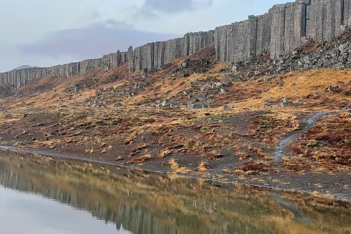
Hellnar is close to Arnarstapi, towards the western end of the Snæfellsnes peninsula. At Hellnar, the cliff known as Valasnös projects out into the sea.
What to see in Arnarstapi
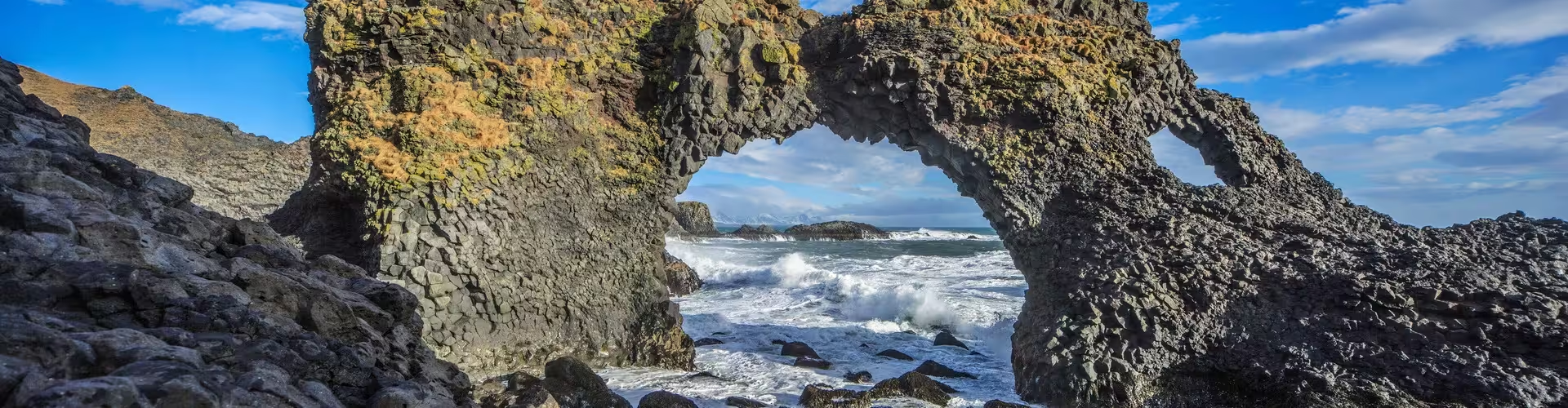
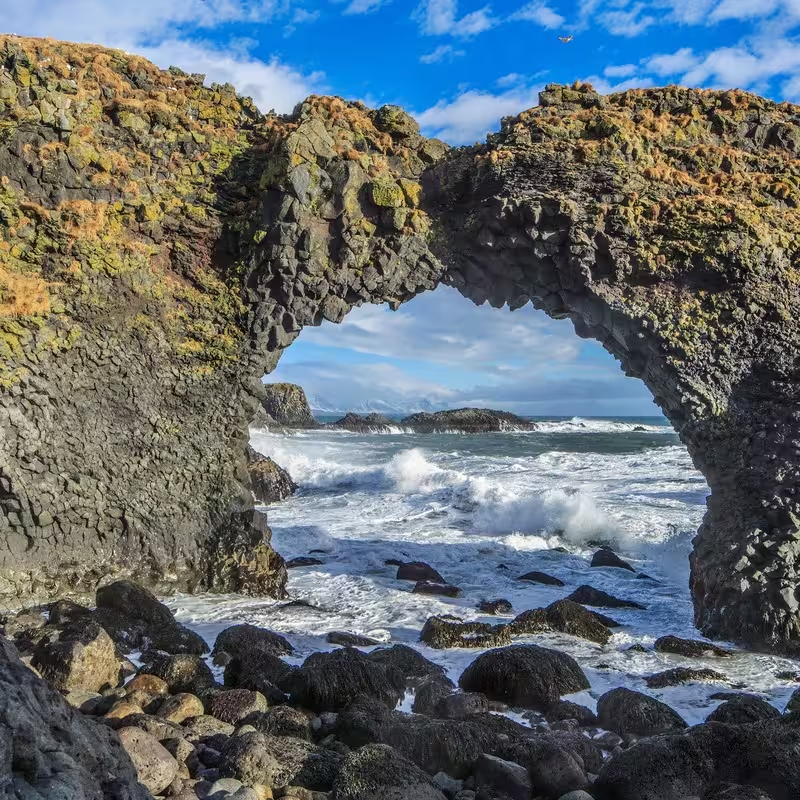
Gatklettur is a rock arch on the shore. The coast provided a natural place for small boats to land and find harbour. In the past, Arnarstapi was a busy fishing port and one of the harbours run by the Danish trading monopoly.
The Snæfellsnes peninsula
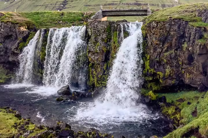
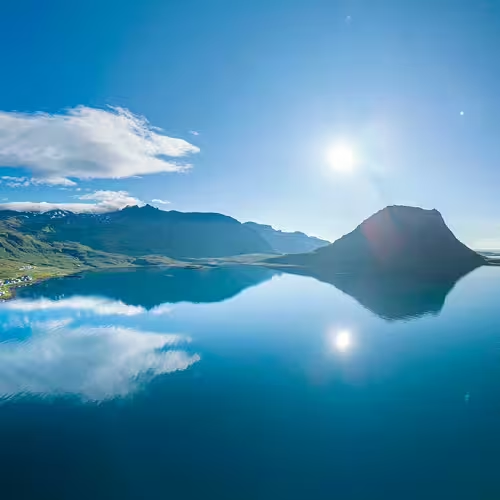
Arnarstapi shares the Snæfellsnes peninsula with Hellnar, Rif, Ólafsvík, Grundarfjörður and Stykkishólmur. The peninsula is in western Iceland, to the west of Borgarfjörður. Near Grundarfjörður, Kirkjufell rises to 463 metres on the peninsula’s northern coast.
A full day tour of the Snaefellsnes peninsula from Reykjavik lasts 12 hours and includes vehicle transport from Reykjavik, a professional guide and entry to the public natural sites listed in the itinerary.
A private full day tour of the Snaefellsnes peninsula from Reykjavik lasts 9 hours and includes a local guide and transport in a private vehicle.
The full day Snaefellsnes peninsula tour with waterfalls and craters lasts 12 hours and includes a professional guide and photographer, edited photographs and access to the areas and stops listed in the itinerary.
A private guided full day tour of the Snaefellsnes peninsula lasts 12 hours and includes private transport suited to the group size, a guide speaking Polish, English, Spanish and Mandarin Chinese, and visits to the listed stops.
The full day Snaefellsnes peninsula tour with a home cooked meal lasts 11 hours and includes a home cooked Icelandic lunch at a local horse farm, transport with WiFi, a local guide and the stops listed in the itinerary.
Snæfellsjökull and its literary connections
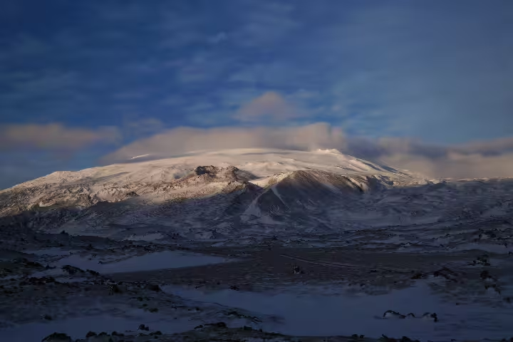
At the western tip of Snæfellsnes stands Snæfellsjökull, a volcano and one of Iceland's best-known landmarks. This stratovolcano has a glacier covering it and is about 700,000 years old. Its elevation is 1,446 metres. Craters on its lower slopes have emitted basalt lava.
The volcano lies within Snæfellsjökull National Park. Snæfellsjökull National Park was established on 28 June 2001 and covers about 183 square kilometres.
In Journey to the Centre of the Earth by Jules Verne, the characters stop at Stapi immediately before ascending Snæfellsjökull. The novel makes the volcano the point of entry into the underground journey. Snæfellsjökull also appears in Under the Glacier, the 1968 novel by Halldór Laxness.
Frequently asked questions
Where is Arnarstapi?
Arnarstapi belongs to Snæfellsbær municipality in Iceland’s Western Region.
Is there a walking route between Arnarstapi and Hellnar?
The old track between the villages passes over lava beside the shore and takes about 30 minutes each way.
What role did the harbour play in Arnarstapi?
Arnarstapi was a busy fishing port and one of the harbours run by the Danish trading monopoly.
How high is Snæfellsjökull?
Snæfellsjökull reaches 1,446 metres and lies within Snæfellsjökull National Park.
How does Stapi feature in Jules Verne’s novel?
In Journey to the Centre of the Earth, Stapi is the characters’ stop immediately before they ascend Snæfellsjökull, the entrance to their underground journey.