Sólheimajökull: glacier walks and South Iceland
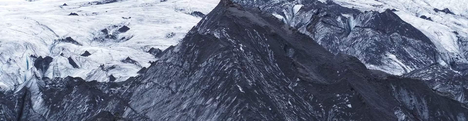
Sólheimajökull extends from the Mýrdalsjökull ice cap, above the Katla caldera. Its position is between Katla and Eyjafjallajökull, both volcanoes. The glacier is near Vík í Mýrdal, about 160 km south-east of Reykjavík by road.
Sólheimajökull glacier walk
A walking path connects the car park with the outlet glacier. The ice descends from roughly 1350 m above sea level to a terminus at around 100 m above sea level.
The private full day tour of Iceland's South Coast with a glacier hike lasts 11 hours. It includes private transport, a certified professional glacier guide, crampons and ice axes, a guided hike on Sólheimajökull, and visits to Skógafoss, Seljalandsfoss and Reynisfjara.
South Iceland
Katla UNESCO Global Geopark occupies 9,542 km² in the central part of South Iceland. Reynisfjara, a beach of black sand, is just to the west of Vík.
The small group day trip to South Coast waterfalls and a glacier lasts 10 hours. It includes an experienced driver guide, transport by small bus, guided stops at Seljalandsfoss and Skógafoss, a visit to Solheimajokull, a stop at Reynisfjara black sand beach, and a visit to Vík village with views of Reynisdrangar.
The winter small group South Coast day trip with waterfalls, glaciers and black beaches lasts 10 hours. Included are a guided small group tour, transport, a professional driver guide, and visits to Seljalandsfoss, Gljúfrabúi, Skógafoss, Reynisfjara and Solheimajokull.
The private full day tour of the glacier lagoon and South Coast lasts 14 hours. It includes private transport, a professional private guide, entrance to the Reynisfjara beach area, a stop at Skógafoss waterfall, and a visit to Jökulsárlón Glacier Lagoon.
The glacier and its lagoon
Measurements of the position of Sólheimajökull's snout have been taken every year since 1930. A cooler climate followed 1969, and the glacier moved forward until 1995. The glacier has been retreating again since 1995. Since 2000 the snout has retreated by roughly 40 to 60 m a year on average. In 2011, a lagoon began developing in front of the snout; it has since become larger and deeper.
Icelandic glaciers are generally of the temperate type. Glacier movement is faster in summer than in winter.
Mýrdalsjökull and Katla
Sólheimajökull, Entujökull and Kötlujökull are among Mýrdalsjökull's outlet glaciers. Mýrdalsjökull covers about 520 to 535 km², with an average ice thickness of 230 m. Katla lies beneath Mýrdalsjökull. The caldera measures about 9 by 14 km and covers roughly 100 km².
Katla's confirmed eruption record ends with the eruption of 1918. Its historical eruptions have mainly been explosive, producing plumes containing abundant ash. Data from ten seismic stations surrounding the volcano are transmitted to the Icelandic Met Office as they are recorded. Increased seismic activity within the caldera during summer occurs at Katla in almost every year.
Frequently asked questions
Which ice cap feeds Sólheimajökull?
Sólheimajökull extends from Mýrdalsjökull, the ice cap above the Katla caldera.
Is there a walking path to the glacier?
A path runs between the car park and the outlet glacier.
What does the private South Coast tour with a glacier hike include?
It includes private transport, a certified glacier guide, crampons and ice axes, a guided Sólheimajökull hike, and visits to Skógafoss, Seljalandsfoss and Reynisfjara.
When did the lagoon in front of the glacier begin forming?
The lagoon began forming in 2011 and has grown larger and deeper since then.
Where is Reynisfjara?
Reynisfjara is a black sand beach just west of Vík.