Dyrhólaey: tours, lava and birdlife
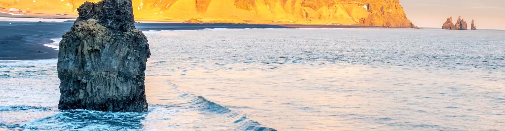
West of Vík, Dyrhólaey rises 120 m above the surrounding black sand. Its name comes from a lava arch measuring 20 m in height and 50 m across. The outlook takes in Reynisfjara and the Reynisdrangar sea stacks to the east, with Mýrdalsjökull glacier visible inland.
Dyrhólaey tours
A private tour of Iceland’s south coast with an ice cave lasts 9 hours. It includes private transport, a local guide throughout, visits to Seljalandsfoss and Skógafoss waterfalls, a stop at the Dyrhólaey promontory and lighthouse area, Reynisfjara beach, time in Vík í Mýrdal and an itinerary that can adapt to preferences.
The south coast of Iceland
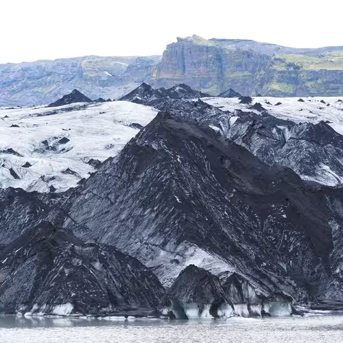
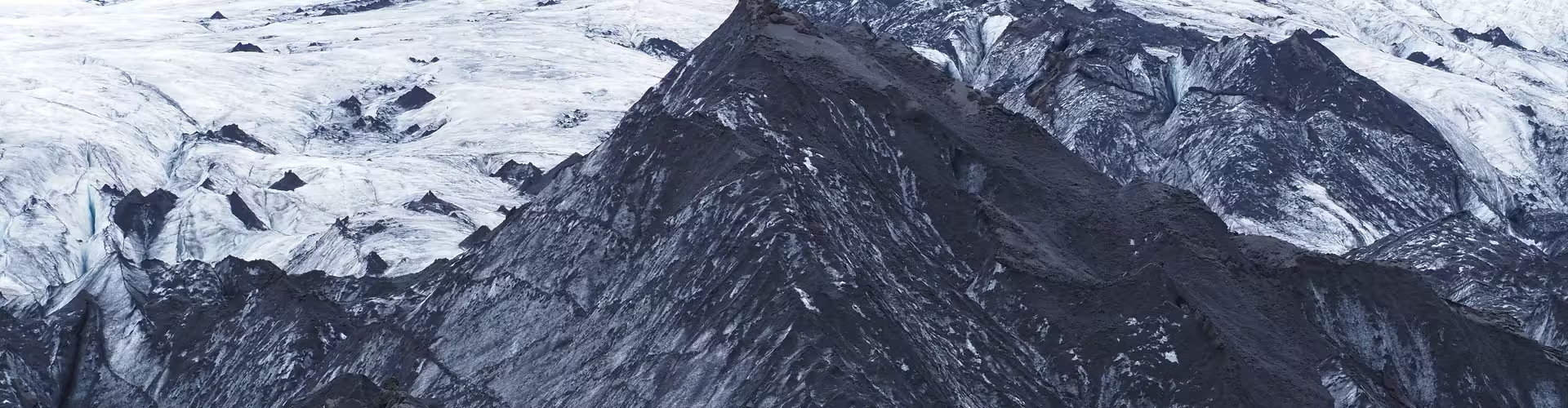
Near Vík í Mýrdal, the basalt stacks of Reynisdrangar stand below Reynisfjall mountain. At Reynisfjara’s eastern end, Hálsanefshellir Cave has basalt columns. Skógafoss drops 60 m and measures 25 m across on the Skógá River, beside a cliff that marks an earlier coastline. Sólheimajökull flows from the Mýrdalsjökull ice cap, which rests over the Katla caldera.
Winter tours in Iceland
A guided winter tour of Iceland with an ice cave and northern lights lasts 5 days. Included are a guide and driver who speak English, minibus transport throughout, a glacier hike with certified guides, a helmet, harness, crampons and ice axe, a blue ice cave tour from Jökulsárlón by super jeep, and accommodation for 4 nights.
A private family winter tour in Iceland lasts 7 days. It includes private transport throughout, a professional private guide, entry to the Blue Lagoon, Secret Lagoon, Perlan Museum and Whale Museum, a whale and puffin watching tour, and lunch at Friðheimar greenhouse restaurant.
Lava and the arch
Once a volcanic island, Dyrhólaey is a tuya created by at least two eruptions roughly 100,000 years ago. The rocks at Lágey indicate that an effusive eruption accumulated thick deposits of lava. The meaning of Dyrhólaey is “door hill island”.
The lighthouse
A Swedish lighthouse with an iron frame was put up here in 1910. Today’s lighthouse dates to 1927. The lighthouse is a square concrete tower, painted white, with a red lantern on top. A keeper remained responsible for the lighthouse through 2015.
Birdlife and the reserve
In 1978, the Icelandic government protected Dyrhólaey for its scenery and birds, and to preserve it as a tourist destination. The reserve extends over 147.2 hectares. Puffins can be seen along marked paths leading from the Lágey car park, while fulmars are also characteristic birds here. Management of the Dyrhólaey area is governed by an agreement with the municipality of Mýrdalshreppur. A resident ranger works throughout the year on infrastructure, conservation and visitor education. An ornithologist reviews the birds’ condition annually to determine whether closures are necessary.
Access
The Dyrholaey turn-off (Road 218) on Route 1 lies about 12 km west of Vik. The steep road with its switchbacks was reconstructed and surfaced in 2022. For bird protection, the Environment Agency may limit visits between 1 May and 25 June. Kirkjufjara beach access was prohibited after rockfalls and accidents at sea during 2012 to 2017.
What gives Dyrhólaey its name?
A lava arch, 20 m tall and 50 m wide, gives Dyrhólaey its name.
What can be seen from Dyrhólaey?
Views include Reynisfjara and Reynisdrangar to the east and Mýrdalsjökull glacier inland.
Which birds are found at Dyrhólaey?
Puffins are visible from the marked paths from Lágey car park, and fulmars are characteristic of the area.
When was the current lighthouse built?
The present lighthouse dates from 1927. The lighthouse is a square concrete tower, painted white, with a red lantern on top.
Can visits to Dyrhólaey be restricted?
The Environment Agency may restrict visits from 1 May to 25 June to protect birds.
Frequently asked questions