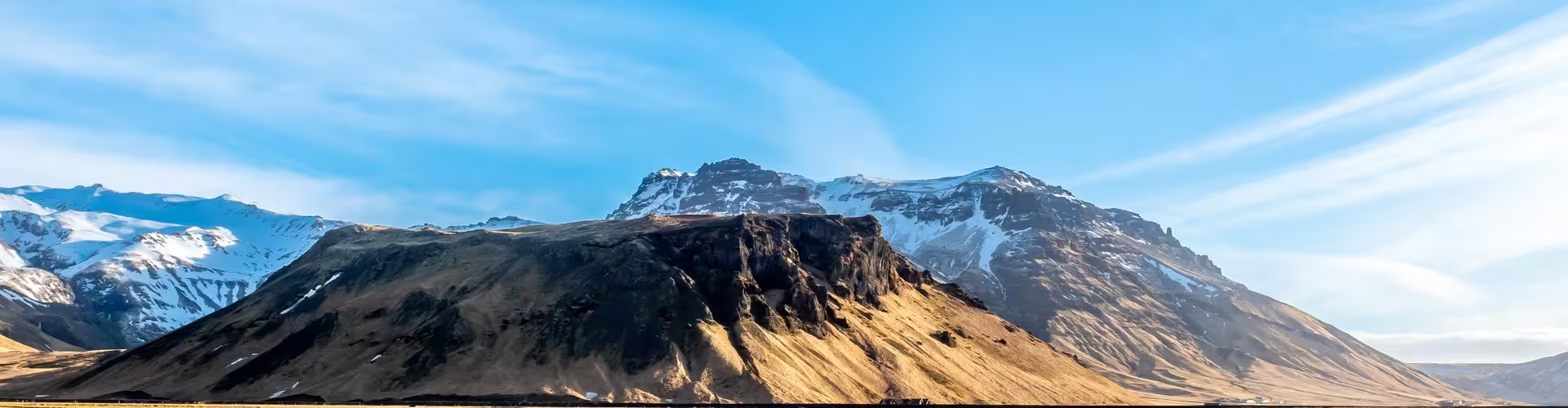
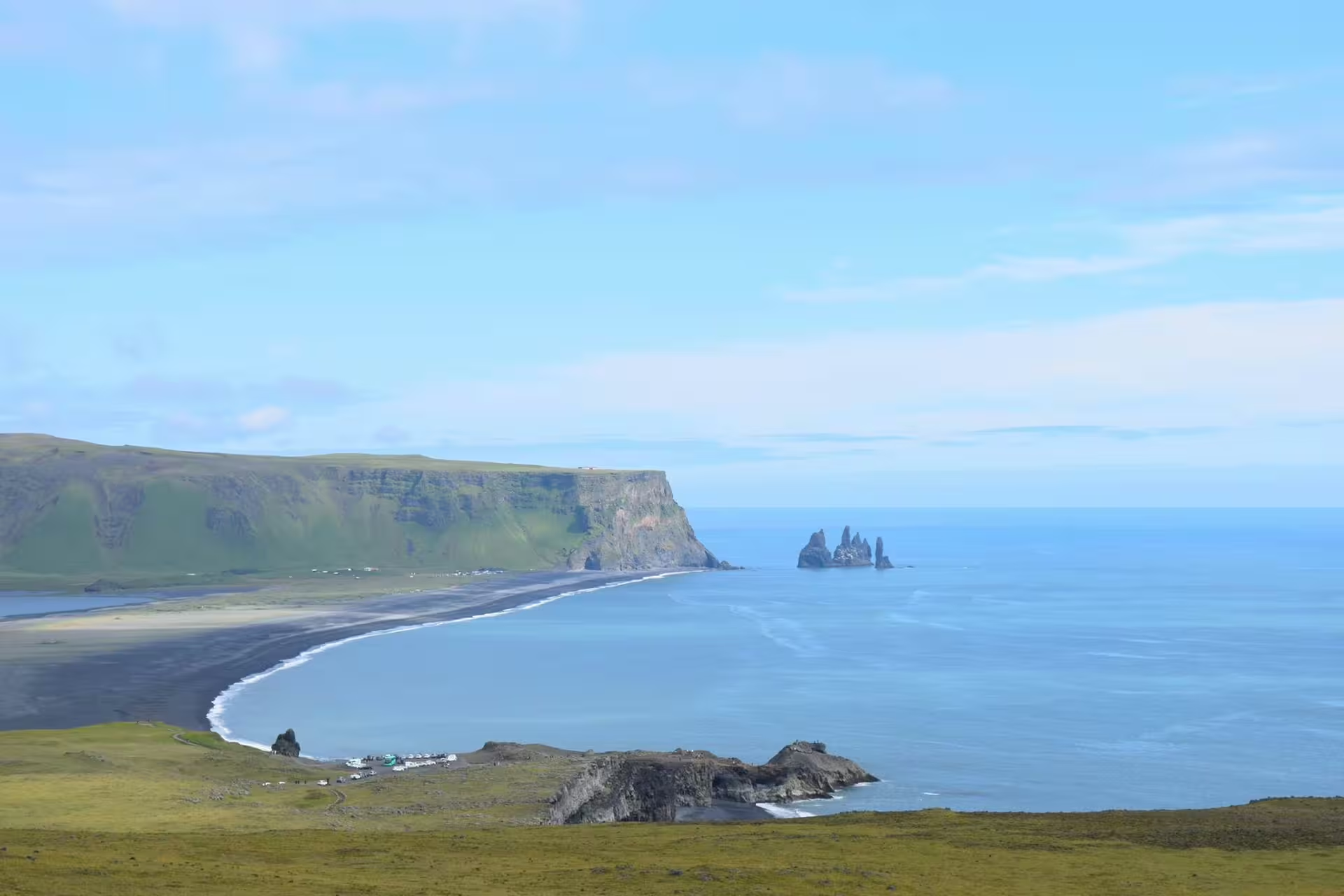
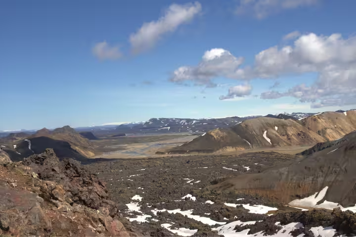
Eyjafjallajokull is a stratovolcano in southern Iceland that became internationally known after its catastrophic 2010 eruption. This glacier-capped peak stands as a testament to Iceland's dramatic volcanic landscape and continues to captivate visitors with its raw natural power and stunning mountain vistas.
What to see in Eyjafjallajokull
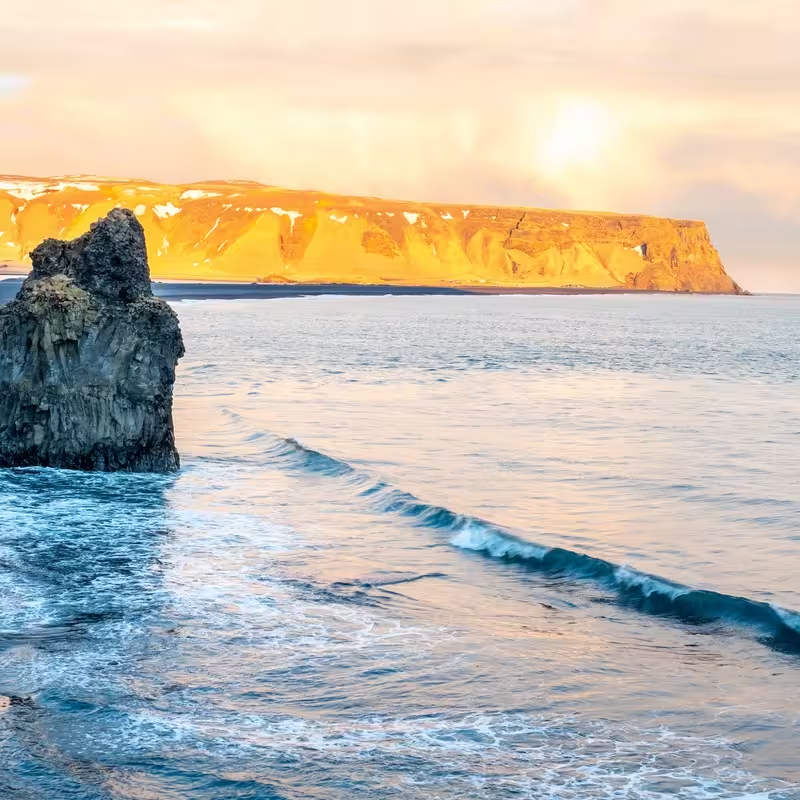
Visitors can explore the glacier-covered slopes and witness the remnants of the 2010 volcanic activity that altered the landscape. The surrounding area offers breathtaking views of ash-covered terrain, glacial rivers, and the distinctive cone-shaped summit that dominates the southern coast skyline.
Things to do in Eyjafjallajokull
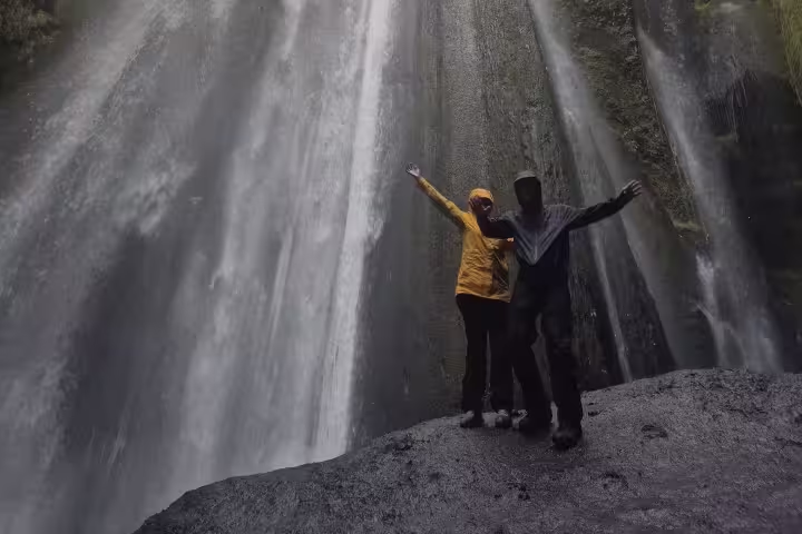
Adventure seekers can embark on guided glacier hiking tours and trekking expeditions across the volcanic terrain. Photography tours capture the dramatic landscapes, while nearby scenic drives and viewpoints provide accessible vantage points for observing this iconic volcano from multiple angles.
Eyjafjallajokull's 2010 Eruption Legacy
The 2010 eruption of Eyjafjallajokull disrupted European air travel for six days and remains one of Iceland's most significant modern volcanic events. Today, the volcano serves as a living classroom for understanding volcanic geology and Iceland's position on the Mid-Atlantic Ridge.
Eyjafjallajokull is located in southern Iceland, approximately 120 kilometers southeast of Reykjavik. The stratovolcano sits at 1,666 meters elevation and is part of Iceland's Eastern Volcanic Zone, a region of significant geological activity. The surrounding area features dramatic mountain terrain, glacial rivers, and access to Iceland's iconic South Coast attractions.
Eyjafjallajokull represents a crucial landmark in modern volcanic history and remains one of Iceland's most recognizable natural features. The 2010 eruption brought global attention to Iceland's geological significance, transforming the volcano into a major tourist destination for adventure travelers and geology enthusiasts.