Pico do Fogo Volcano Summit Hike from Chã das Caldeiras
Climb to the rooftop of Cape Verde and stand above the clouds on the Atlantic's third-highest peak.
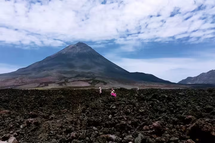
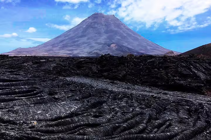
This guided Pico do Fogo volcano hike takes you from the lava-covered village of Chã das Caldeiras at 1,730 meters all the way to Cape Verde's highest summit at 2,829 meters, delivering one of the most dramatic volcanic landscapes in the Atlantic world.
The ascent winds through agricultural terraces planted with fig, vine, apple, and pear trees before the terrain gives way to raw volcanic rock and ash fields formed by the island's most recent eruption. Your guide shares the geology and human story behind the lava flows that buried entire neighborhoods, adding depth to every step of the climb.
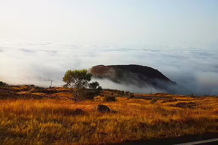
At the summit, a full 360-degree panorama unfolds over Fogo Island and, on clear days, reaches across to neighboring islands. After a well-earned picnic break above the clouds, the descent follows a fast, exhilarating run through loose lava ash — a finale that transforms a demanding hike into a genuinely memorable experience.
Tour Highlights
Reach the summit of Pico do Fogo at 2,829 meters, the highest point in Cape Verde and the third-highest peak in the Atlantic Ocean.
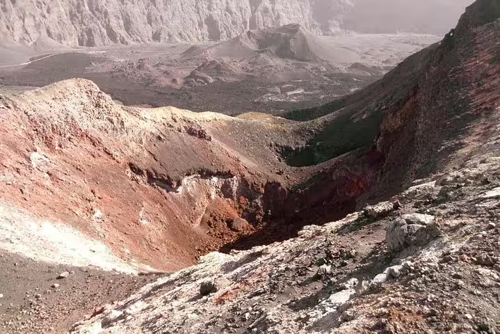
Enjoy an unforgettable 360-degree panoramic view from the crater rim, with potential sightlines to multiple Cape Verde islands on clear days.
Walk through lava fields produced by the most recent eruption and learn firsthand about the island's ongoing volcanic activity from your expert guide.
Pass through the unique agricultural zone inside the caldera, where farmers cultivate fruit trees in nutrient-rich volcanic soil at high altitude.
Take a well-deserved picnic break at the summit and savor the rare sensation of resting above the clouds in the middle of the Atlantic.
Descend at speed through deep lava ash on the volcano's steep flanks — a thrilling and efficient way back to the caldera floor.
Itinerary
Your guide greets you inside the caldera village of Chã das Caldeiras. The briefing covers safety, pace, and the geological context of the surrounding landscape shaped by recent eruptions.
The trail begins through terraced plots of fig, vine, apple, and pear trees. Your guide explains the local history and how volcanic soil supports farming even after devastating lava flows covered much of the settlement.
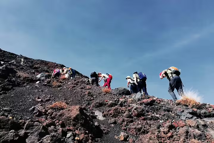
As vegetation gives way to bare rock and ash, the gradient steepens considerably. The guide adjusts the group's pace to match individual fitness levels, ensuring a safe and steady progression toward the peak.
After 3 to 4 hours of climbing, the group reaches Cape Verde's highest point. The summit offers a full 360-degree panorama over Fogo Island, the Atlantic Ocean, and potentially neighboring islands on clear days.
A picnic break at the top allows hikers to recover, take photographs, and absorb the altitude and views before beginning the return journey.
The return route takes advantage of the deep volcanic ash on the volcano's slopes, allowing for a fast and exhilarating descent back to the caldera floor and the meeting point.
What Is Included
Included
- Professional local guide throughout the hike
- Picnic at the summit
- Geological and historical commentary during the ascent
- Pace adjustment tailored to group fitness levels
Not Included
- Hotel pickup and drop-off transfers
- Personal travel or accident insurance
- Hiking equipment such as poles or specialized footwear
- Gratuities for the guide
Important Information
Ready to Summit Cape Verde's Highest Peak?
Secure your place on this challenging and rewarding volcano hike with an expert local guide who knows every meter of the trail.
Book Now